Pfaring – Angerberg
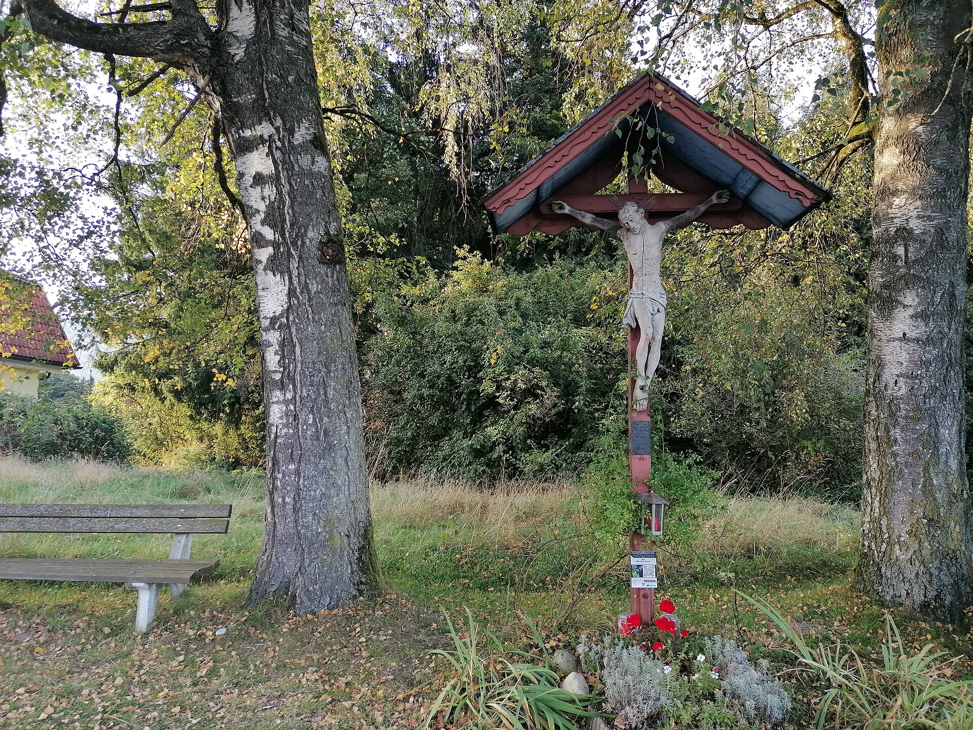
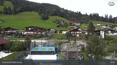
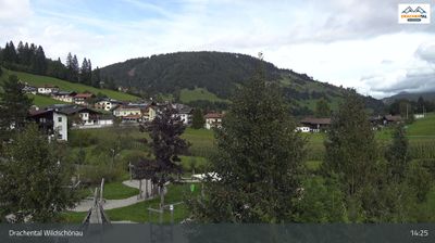
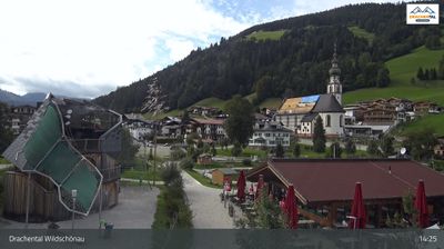
Live webcam
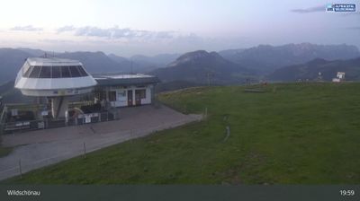
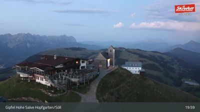
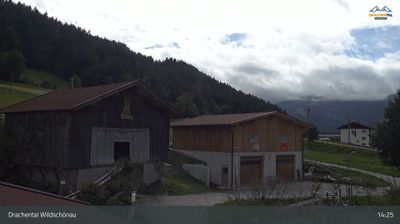
Sneeuwbericht
- Laatste 24 uur: 0 cm
- Laatste 72 uur: 0 cm
- Laatste 7 dagen: 0 cm
- Laatste 7 dagen: Dal 0cm · Middenstation 0cm · Top 0cm
- Seizoenstotaal: 0 cm
Skigebieden nu open · Sneeuwbericht
About Pfaring – Angerberg
A quiet Tyrolean retreat favored for its panoramic plateau views and a slow-paced escape from the busy Inn Valley below.
Highlights
- Sun-drenched plateau
- Traditional farmhouse architecture
- Serene winter hiking
- Rural Austrian charm
Key Facts
- Altitude: 639m
- Top lift: 680m
- Ski lifts: 1
- Population: 1,968
- Lakes nearby: 15
- MTB trails: 326.1km
- Mountain huts: 9
Ski Area
Weather and 10-day forecast for Pfaring – Angerberg
- Today: 5 to 18 °C, clear sky, 13 h of sunshine
- Freezing level today: about 3372 m (2700 to 3600 m)
| Day | Min / max | Sky | Precipitation | Sunshine |
|---|---|---|---|---|
| wo 23 sep | 5 / 18 °C | clear sky | dry | 13 h sun |
| do 24 sep | 9 / 19 °C | rain showers | dry | 1 h sun |
| vr 25 sep | 6 / 17 °C | clear sky | dry | 11 h sun |
| za 26 sep | 5 / 22 °C | clear sky | dry | 12 h sun |
| zo 27 sep | 7 / 24 °C | clear sky | dry | 10 h sun |
| ma 28 sep | 9 / 25 °C | clear sky | dry | 11 h sun |
| di 29 sep | 10 / 26 °C | clear sky | dry | 11 h sun |
| wo 30 sep | 10 / 26 °C | clear sky | dry | 11 h sun |
| do 1 okt | 10 / 23 °C | overcast | dry | 1 h sun |
| vr 2 okt | 11 / 15 °C | drizzle | dry | 0 h sun |
Things to do in Pfaring – Angerberg
Hikes nearby — Pfaring – Angerberg (12)
12 curated hiking trails around Pfaring – Angerberg, sourced from OpenStreetMap and enriched with distance, elevation gain and difficulty.
-
Adlerweg - Etappe 4 Variante Höhlenstein/Hundalm
The route climbs steeply through forest and open alpine meadows to the Köglhörndl (1.645 m), where a summit cross marks a fine viewpoint, then continues along the ridge to the Hundsalmjoch (1.637 m) with its modern stainless-steel cross. A short detour near the finish leads to the Hundalm Eis- und Tropfsteinhöhle — an ice and stalactite cave — just 20 minutes off the path to the Alpengasthaus Buchacker (1.380 m).
-
Adlerweg Etappe 5
Gasthof Buchacker - Gasthof Gwercherwirt (Pinegg)
-
Adlerweg Etappe 4
Kufstein - Gasthof Buchacker
-
Jakobsweg Böhmen-Bayern-Tirol Variante/Baumgarten
Alternativstrecke, die mehr für Radfahrer geeignet ist
-
Buchackeraufstieg
Innsteg -> Buchackeraufstieg
-
Hundalm Eishöhle
The trail climbs to the Hundalm Eis- und Tropfsteinhöhle, a natural monument housing bizarre ice formations, open to visitors from May to September via guided tours. The route follows the Buchackeraufstieg up to the ice and stalactite cave near Angerberg in Tyrol.
-
Niederbreitenbach-Höhlenstein
-
Inntalblick Runde
-
Gasthof Alpenhof Runde "Adlerrunde"
-
Brandenbergvariante - Alternative zum Nordalpenweg 01 in den Brandenberger Alpen
-
A27
-
Achrainerrunde
Mountain biking near Pfaring – Angerberg
- Kragenjoch
- Brach
- Zauberwinkelweg
- Hasatalstraße
- Kreuzweg
Getting to Pfaring – Angerberg
Door-to-door travel times as used by the MR. ALPS ranking.
- Nearest airport: Innsbruck Airport (INN), 59 km away, about 1h01 by road
- Innsbruck: 58 min by car, 63 km
- München: 1h18 by car, 108 km
- Bolzano - Bozen: 2h23 by car, 178 km
- Nürnberg: 2h47 by car, 277 km
- Trento: 2h54 by car, 234 km
- Stuttgart: 3h30 by car, 341 km
Where to stay in Pfaring – Angerberg
200 places to stay for a night on 2026-09-25, from 150 EUR per night, median 275 EUR. Prices are direct with hotels and destinations, compared live on the Pfaring – Angerberg page.