Orsières
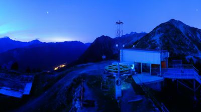
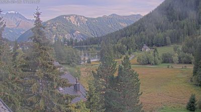
Live webcam
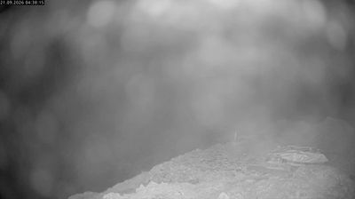
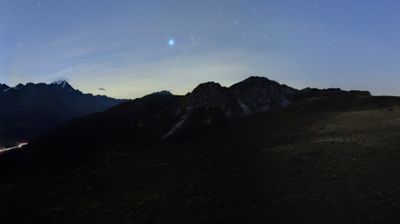

Open liften: 18%
Sneeuwbericht
- Laatste 24 uur: 0 cm
- Laatste 72 uur: 0 cm
- Laatste 7 dagen: 0 cm
- Laatste 7 dagen: Dal 0cm · Middenstation 0cm · Top 0cm
- Seizoenstotaal: 0 cm
Skigebieden nu open · Sneeuwbericht
About Orsières
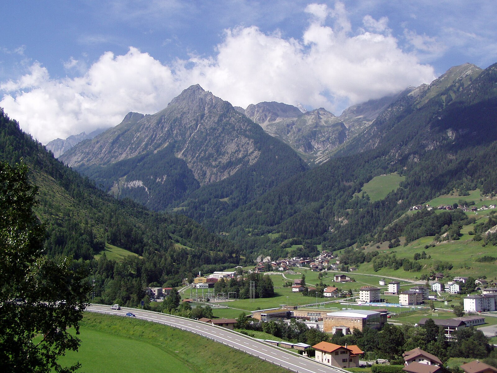
A quiet crossroads of the Great Saint Bernard pass, where Roman history meets the rugged, unhurried soul of the Valais.
Highlights
- Ancient transit hub
- Authentic alpine architecture
- Quiet mountain gateway
- Traditional valaisan heritage
Key Facts
- Altitude: 901m
- Ski lifts: 4
- Population: 3,303
- 4000m+ peaks nearby: 15
- Lakes nearby: 11
- MTB trails: 10.5km
- Mountain huts: 23
Ski Area
Inbegrepen in deze seizoenpassen
Weather and 10-day forecast for Orsières
- Today: 8 to 14 °C, clear sky, 12 h of sunshine
- Freezing level today: about 4278 m (4060 to 4400 m)
| Day | Min / max | Sky | Precipitation | Sunshine |
|---|---|---|---|---|
| di 22 sep | 8 / 14 °C | clear sky | dry | 12 h sun |
| wo 23 sep | 7 / 12 °C | clear sky | dry | 12 h sun |
| do 24 sep | 7 / 12 °C | partly cloudy | dry | 4 h sun |
| vr 25 sep | 6 / 12 °C | partly cloudy | dry | 8 h sun |
| za 26 sep | 7 / 14 °C | clear sky | dry | 10 h sun |
| zo 27 sep | 8 / 15 °C | overcast | dry | 3 h sun |
| ma 28 sep | 9 / 16 °C | rain showers | dry | 9 h sun |
| di 29 sep | 9 / 17 °C | clear sky | dry | 12 h sun |
| wo 30 sep | 4 / 16 °C | drizzle | dry | 1 h sun |
| do 1 okt | 6 / 11 °C | rain showers | dry | 0 h sun |
Things to do in Orsières
Hikes nearby — Orsières (20)
20+ curated hiking trails around Orsières, sourced from OpenStreetMap and enriched with distance, elevation gain and difficulty.
-
Via Alpina Stage 80: Trient - Champex-Lac
-
Via Alpina Stage 81: Champex-Lac - Bourg St. Pierre
-
36-Chemin des cols alpins
-
Chemin des cols alpins
-
Tour Du Mont Blanc - Variante de la Fenêtre d'Arpette
-
Chemins pédestre de montagne, commune d'Orsières
-
Champex d'en Bas > Champex
-
sentier du lac
-
Champex d'en Bas > L'Adray
-
Chemins pédestre de montagne, région Entremont
-
Plan de l'Au > Bovine
-
Raccard du blé
-
sentier du Devin
-
L'Adray > Le Catogne
-
Bémont > Champex d'en Bas
The trail descends through the lowest "floor" of Champex, passing pretty chalets and open meadows with views toward the Dents du Midi before plunging into a long stretch of forest. It rounds out a trio of local routes — alongside the Champex-Lac marsh trail and the Champex d'en Haut trail — each exploring a distinct layer of this alpine landscape.
-
Bémont > Plan de l'Au
-
Alpenpässe-Weg: Champex-Lac - Trient
-
Alpenpässe-Weg: La Fouly - Champex-Lac
-
Chemin des villages et hameaux d'Entremont
-
ViaFrancigena
Mountain biking near Orsières
- Le Plan de l'Au
- Bisse de la Tour
Getting to Orsières
Door-to-door travel times as used by the MR. ALPS ranking.
- Nearest airport: Geneva International Airport (GVA), 79 km away, about 2h09 by road
- Lausanne: 1h19 by car, 92 km
- Bern: 1h55 by car, 149 km
- Genève: 1h58 by car, 154 km
- Annecy: 2h20 by car, 147 km
- Biel/Bienne: 2h23 by car, 188 km
- Chambéry: 2h45 by car, 191 km
Where to stay in Orsières
40 places to stay for a night on 2026-09-25, from 141 EUR per night, median 419 EUR. Prices are direct with hotels and destinations, compared live on the Orsières page.