Mugi – Netstal
Live webcam

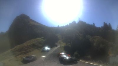
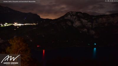
Open liften: 0%
Sneeuwbericht
- Laatste 24 uur: 0 cm
- Laatste 72 uur: 0 cm
- Laatste 7 dagen: 0 cm
- Laatste 7 dagen: Dal 0cm · Middenstation 0cm · Top 0cm
- Seizoenstotaal: 0 cm
Skigebieden nu open · Sneeuwbericht
About Mugi – Netstal
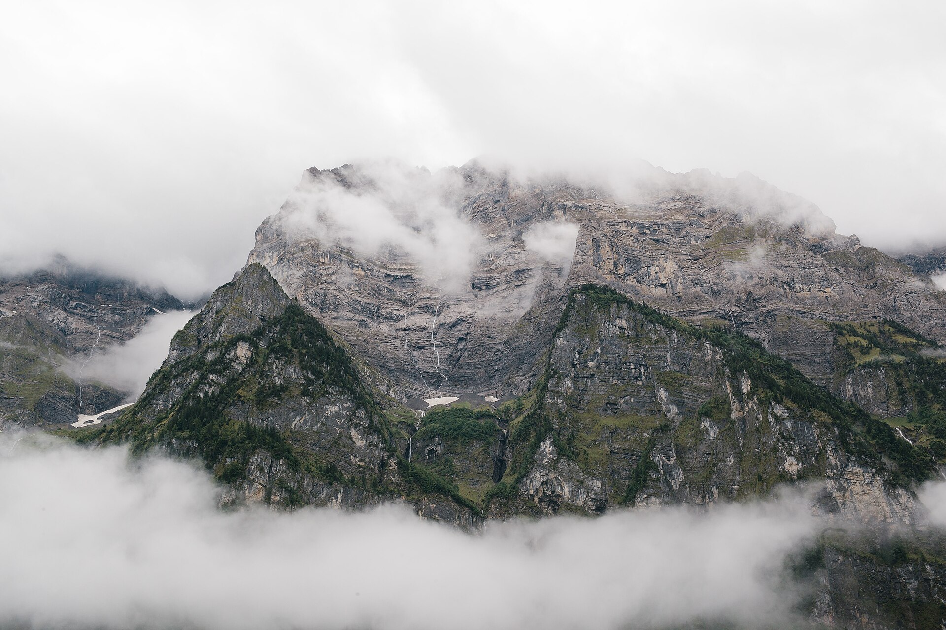
A rugged industrial gateway where deep limestone valleys meet Glarus’s stoic tradition and dramatic cliffside hiking trails.
Highlights
- Vertical rock faces
- Industrial heritage
- Deep valley vistas
- Authentic local life
Key Facts
- Altitude: 458m
- Top lift: 550m
- Ski lifts: 2
- Population: 2,875
- Lakes nearby: 28
- MTB trails: 172.5km
- Mountain huts: 27
Ski Area
Weather and 10-day forecast for Mugi – Netstal
- Today: 8 to 19 °C, clear sky, 12 h of sunshine
- Freezing level today: about 3755 m (3480 to 3960 m)
| Day | Min / max | Sky | Precipitation | Sunshine |
|---|---|---|---|---|
| wo 23 sep | 8 / 19 °C | clear sky | dry | 12 h sun |
| do 24 sep | 11 / 20 °C | overcast | dry | 5 h sun |
| vr 25 sep | 10 / 20 °C | clear sky | dry | 10 h sun |
| za 26 sep | 13 / 24 °C | clear sky | dry | 12 h sun |
| zo 27 sep | 14 / 26 °C | clear sky | dry | 12 h sun |
| ma 28 sep | 17 / 26 °C | clear sky | dry | 11 h sun |
| di 29 sep | 19 / 26 °C | clear sky | dry | 12 h sun |
| wo 30 sep | 18 / 28 °C | clear sky | dry | 12 h sun |
| do 1 okt | 14 / 18 °C | drizzle | dry | 1 h sun |
| vr 2 okt | 11 / 14 °C | rain showers | dry | 0 h sun |
Things to do in Mugi – Netstal
Hikes nearby — Mugi – Netstal (20)
20+ curated hiking trails around Mugi – Netstal, sourced from OpenStreetMap and enriched with distance, elevation gain and difficulty.
-
ViaSuworow
-
Via Glaralpina
-
ViaSuworow
-
Via Glaralpina
-
Via Glaralpina
-
Via Glaralpina
-
Schabziger Höhenweg
The Schabziger Höhenweg runs partially along the famous Glarner Ziger Highway, beginning in Filzbach in the canton of Glarus and passing through points including Habergschwänd before finishing at Mollis, Oberruestel. The route traverses the Kerenzerberg ridge above the Walensee, with the Fronalp area offering panoramic views across the Glarnerland.
-
Glarus-Rundweg
A loop through the countryside surrounding Glarus — the smallest canton capital in Switzerland — this trail winds across large grassy meadows, through forests and cow pastures, and along quiet country lanes, with mountain views throughout.
-
Linth-Uferweg
The Linth-Uferweg follows a broad, comfortable path along the river through an open valley, its banks thick with wild plants and punctuated by shady woodland stretches. Between the villages of Mitlödi and Ennenda the route climbs slightly above the Linth, opening up wide views across the valley to the massive mountains beyond, before passing a woodland rest stop with a fireplace.
-
Holzflue-Rundweg
This loop above Ennenda passes through the Tektonikarena Sardona, a landscape shaped by primordial geology, while opening views down into the Linth valley below. Panoramas sweep southwest, west, northwest, and north across the Glarner Alps.
-
Ahornen-Rundweg
This loop circles alpine meadows and a lake above Näfels, dipping in and out of shady forests while tall mountain peaks rise on all sides — a setting one writer compared to Canada. The trail follows the Obersee Valley, weaving between open views and cool tree cover along the lakeshore and a river.
-
Kerenzerberg Römerweg
The route traces a Roman road from Näfels through the winding alleys and historic manor homes of Mollis, then climbs past dry stone walls to the Kerenzerberg ridge, where the sheer faces of the Glärnisch Massif, Rautispitz, and Wiggis fill the southern sky. Throughout, the deep-blue Lake Walensee and the Churfirsten mountain range hold steady on the horizon.
-
Alpenpanorama-Weg
-
Sardona-Welterbe-Weg Etappe 1
-
Via Glaralpina
-
ViaSuworow: Plätz Klöntal - Glarus
-
Pragelpass-Weg: Plätz Klöntal - Glarus
-
Glarus Rundweg
-
Sardona-Welterbe-Weg: Filzbach - Murgsee
-
Murgseen Rundweg
Mountain biking near Mugi – Netstal
- Längenegg Bike
- Fronalp Bike
- Flowtrail Glarus
Getting to Mugi – Netstal
Door-to-door travel times as used by the MR. ALPS ranking.
- Nearest airport: Zürich Airport (ZRH), 58 km away, about 1h08 by road
- Zürich: 52 min by car, 68 km
- Luzern: 1h11 by car, 90 km
- Basel: 1h49 by car, 150 km
- Biel/Bienne: 2h15 by car, 188 km
- Bern: 2h16 by car, 190 km
- Innsbruck: 3h05 by car, 233 km
Where to stay in Mugi – Netstal
36 places to stay for a night on 2026-09-25, from 224 EUR per night, median 292 EUR. Prices are direct with hotels and destinations, compared live on the Mugi – Netstal page.