Les Pléiades
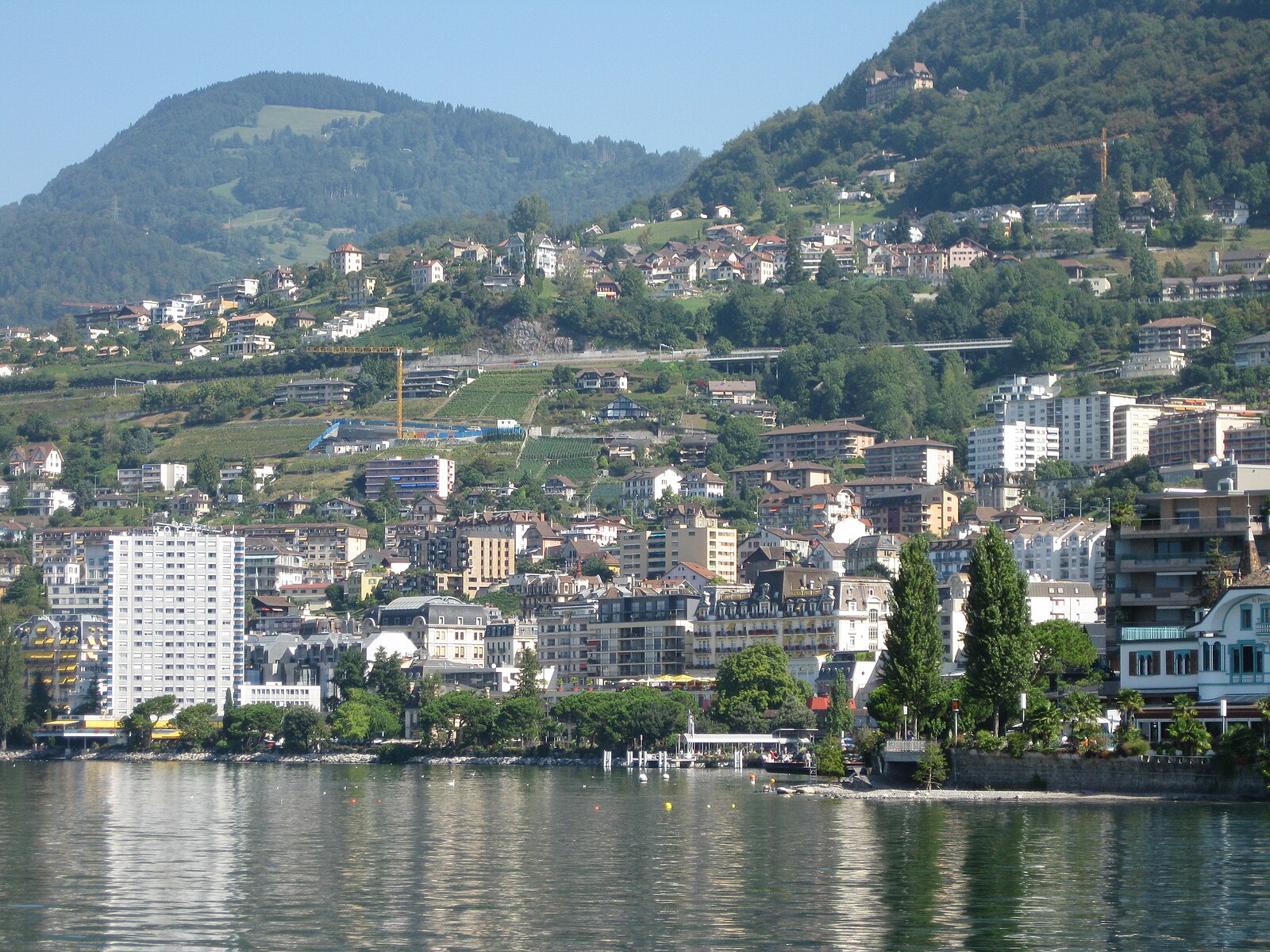
About Les Pléiades
A nostalgic panoramic balcony above Lake Geneva, where spring narcissus fields and vintage cogwheel trains define the quiet local escape.
Highlights
- Wild narcissus blooms
- Vintage cogwheel rail
- Lake Geneva panoramas
- Family snow shoes
Key Facts
- Altitude: 1342m
- Top lift: 1360m
- Ski pistes: 8km
- Ski lifts: 7
- Lakes nearby: 6
- MTB trails: 39km
- Mountain huts: 11
Ski Area
Inbegrepen in deze seizoenpassen
Weather and 10-day forecast for Les Pléiades
- Today: 10 to 17 °C, overcast, 3 h of sunshine
- Freezing level today: about 3877 m (3750 to 4110 m)
| Day | Min / max | Sky | Precipitation | Sunshine |
|---|---|---|---|---|
| do 24 sep | 10 / 17 °C | overcast | dry | 3 h sun |
| vr 25 sep | 9 / 18 °C | clear sky | dry | 12 h sun |
| za 26 sep | 11 / 21 °C | clear sky | dry | 12 h sun |
| zo 27 sep | 14 / 22 °C | clear sky | dry | 12 h sun |
| ma 28 sep | 14 / 22 °C | clear sky | dry | 9 h sun |
| di 29 sep | 13 / 22 °C | clear sky | dry | 9 h sun |
| wo 30 sep | 12 / 20 °C | overcast | dry | 1 h sun |
| do 1 okt | 11 / 20 °C | drizzle | dry | 3 h sun |
| vr 2 okt | 9 / 12 °C | rain showers | dry | 2 h sun |
| za 3 okt | 6 / 15 °C | overcast | dry | 1 h sun |
Things to do in Les Pléiades
Hikes nearby — Les Pléiades (16)
16 curated hiking trails around Les Pléiades, sourced from OpenStreetMap and enriched with distance, elevation gain and difficulty.
-
Chemin panorama alpin
-
Via Alpina
The trail climbs from the shores of Lake Geneva up to the summit of Rochers de Naye, passing through the Gruyère Pays-d'Enhaut Regional Nature Park. It forms the final stage (Stage 20) of the Swiss Via Alpina, a long-distance route crossing the Alps.
-
Chemin des Narcisses
Thousands of daffodils blanket the hills above Montreux each spring, turning the pastures into what looks like a white sea of flowers. The trail winds through those pastures and forests with Lake Geneva spread out below.
-
Chemin panorama alpin
-
Via Alpina
-
Les Abbayes - Epesses
-
Alpenpanorama-Weg: Les Paccots - Corseaux
-
Via Alpina: Rochers de Naye - Montreux
-
Sentier panoramique des Paccots
-
Sentier de la crête du Moléson
-
ViaFrancigena: Vevey Marché - Aigle
-
Le Grand Tour des Vanils
-
Alpenpanorama-Weg: Gruyères, gare - Les Paccots
-
Via Alpina: Rossinière, gare - Rochers de Naye
-
L’Intyamon de Montbovon à la Brâ
-
Sentier de la créte du Moléson
Mountain biking near Les Pléiades
- Panorama Bike - Étape 14
- Montreux Panorama Bike
- Route de Soladier
Getting to Les Pléiades
Door-to-door travel times as used by the MR. ALPS ranking.
- Nearest airport: Bern Airport (BRN), 66 km away, about 1h36 by road
- Lausanne: 50 min by car, 37 km
- Bern: 1h25 by car, 89 km
- Genève: 1h29 by car, 99 km
- Biel/Bienne: 1h52 by car, 128 km
- Annecy: 2h02 by car, 140 km
- Chambéry: 2h27 by car, 184 km
Where to stay in Les Pléiades
200 places to stay for a night on 2026-09-25, from 154 EUR per night, median 337 EUR. Prices are direct with hotels and destinations, compared live on the Les Pléiades page.