Les Orres
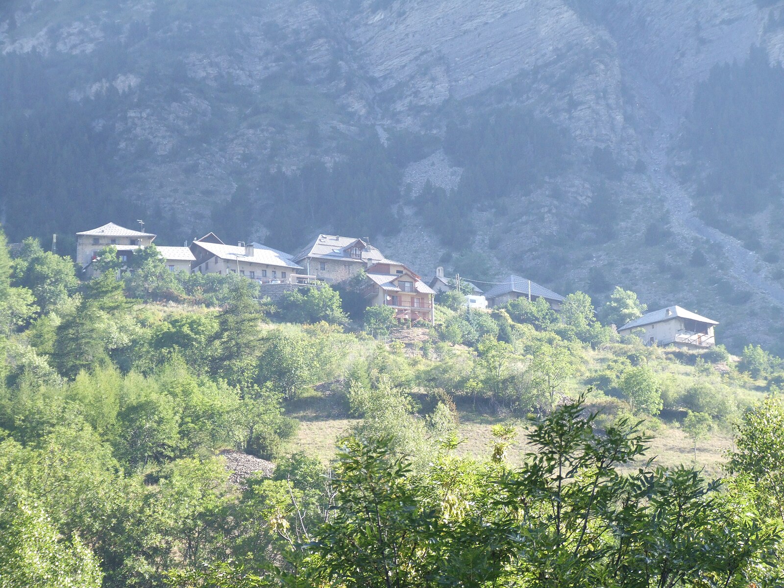
About Les Orres
A sun-drenched balcony over the Southern Alps, where larch forests meet a laid-back family vibe and expansive lake views.
Highlights
- Scented larch forests
- Southern sun exposure
- Serre-Ponçon vistas
- Family-first atmosphere
Key Facts
- Altitude: 1462m
- Top lift: 2720m
- Ski pistes: 100km
- Ski lifts: 17
- Population: 510
- Lakes nearby: 8
- MTB trails: 214.4km
- Mountain huts: 4
Ski Area
Weather and 10-day forecast for Les Orres
- Today: 8 to 17 °C, clear sky, 9 h of sunshine
- Freezing level today: about 4383 m (4240 to 4650 m)
| Day | Min / max | Sky | Precipitation | Sunshine |
|---|---|---|---|---|
| zo 20 sep | 8 / 17 °C | clear sky | dry | 9 h sun |
| ma 21 sep | 11 / 18 °C | overcast | dry | 4 h sun |
| di 22 sep | 10 / 18 °C | clear sky | dry | 11 h sun |
| wo 23 sep | 9 / 16 °C | partly cloudy | dry | 8 h sun |
| do 24 sep | 8 / 16 °C | clear sky | dry | 11 h sun |
| vr 25 sep | 4 / 15 °C | clear sky | dry | 10 h sun |
| za 26 sep | 7 / 17 °C | clear sky | dry | 10 h sun |
| zo 27 sep | 7 / 21 °C | clear sky | dry | 12 h sun |
| ma 28 sep | 2 / 19 °C | clear sky | dry | 12 h sun |
| di 29 sep | 2 / 19 °C | clear sky | dry | 12 h sun |
Things to do in Les Orres
Hikes nearby — Les Orres (16)
16 curated hiking trails around Les Orres, sourced from OpenStreetMap and enriched with distance, elevation gain and difficulty.
-
Gare Arrivée TS Pré Longis - Sommet TS Pousterle
-
Boucle de Valubaye
-
Boucle de Plat Aiguille
The trail winds between forest and open fields up to the small plateau of Aiguille, where a panoramic viewpoint opens over Lac de Serre-Ponçon and the town of Embrun. Informational panels on the natural environment punctuate the ascent along the way.
-
Remollon - Vieille Cabane
-
Crête du Lauzet
This out-and-back trail cuts through the Pouzenc national forest in the valleys of the Serre Ponçon lake, within the Écrins National Park, departing from the Clot Besson picnic area. It climbs to the Lauzet ridge at 2,353 metres altitude.
-
Boucle de la Mûre
-
Boucle de La Chalp
-
Cabane du Grand Vallon - ?
-
Lac de l'Aupillon
-
Fontaine de l'Ours - Plat d'Amiens et Lot des Ayourriers
-
Col des Orres - Cabane du Grand Vallon
-
Col des Orres
-
Belvédère des Pyramides - Preis
-
Torrent des Eyssirolles - Les Gérards
-
Boucle de la Cabane de l'Aiguille
-
Chemin de la Durance
Mountain biking near Les Orres
- Boucle de Saint-Sauveur
- Descente des Orres
- Follow me
- La Jethro
- La Teigneuse
- Cool Rider
- Gawaline
- DH Follow me
Getting to Les Orres
Door-to-door travel times as used by the MR. ALPS ranking.
- Nearest airport: Marseille Provence Airport (MRS), 161 km away, about 2h31 by road
- Grenoble: 2h34 by car, 141 km
- Marseille: 2h47 by car, 220 km
- Torino: 2h48 by car, 169 km
- Chambéry: 3h12 by car, 200 km
- Annecy: 3h44 by car, 248 km
- Lyon: 3h44 by car, 243 km
Where to stay in Les Orres
56 places to stay for a night on 2026-09-25, from 84 EUR per night, median 179 EUR. Prices are direct with hotels and destinations, compared live on the Les Orres page.