Le Collet d'Allevard
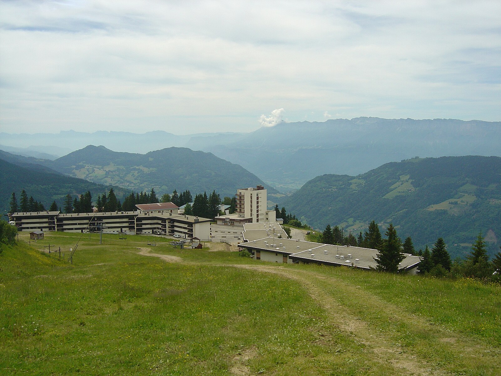
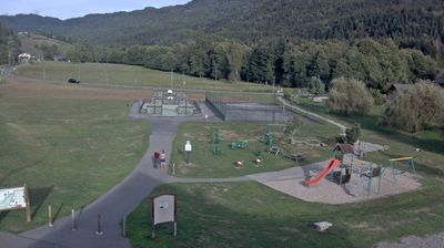
Live webcam

Open liften: 0%
Sneeuwbericht
- Laatste 24 uur: 0 cm
- Laatste 72 uur: 0 cm
- Laatste 7 dagen: 0 cm
- Laatste 7 dagen: Dal 0cm · Middenstation 0cm · Top 0cm
- Seizoenstotaal: 2 cm
Skigebieden nu open · Sneeuwbericht
About Le Collet d'Allevard
A low-key family favorite perched above the clouds, known for its expansive night skiing and panoramic views over the Isère valley.
Highlights
- Vibrant night skiing
- Family-friendly atmosphere
- Panoramic valley views
- Authentic local vibe
Key Facts
- Altitude: 1436m
- Top lift: 2140m
- Ski pistes: 35km
- Ski lifts: 11
- Lakes nearby: 20
- MTB trails: 67.9km
- Mountain huts: 6
Ski Area
Weather and 10-day forecast for Le Collet d'Allevard
- Today: 10 to 15 °C, clear sky, 12 h of sunshine
- Freezing level today: about 4393 m (4160 to 4660 m)
| Day | Min / max | Sky | Precipitation | Sunshine |
|---|---|---|---|---|
| wo 23 sep | 10 / 15 °C | clear sky | dry | 12 h sun |
| do 24 sep | 9 / 16 °C | partly cloudy | dry | 5 h sun |
| vr 25 sep | 10 / 19 °C | overcast | dry | 4 h sun |
| za 26 sep | 11 / 19 °C | clear sky | dry | 12 h sun |
| zo 27 sep | 12 / 21 °C | clear sky | dry | 9 h sun |
| ma 28 sep | 11 / 19 °C | partly cloudy | dry | 5 h sun |
| di 29 sep | 12 / 20 °C | clear sky | dry | 12 h sun |
| wo 30 sep | 11 / 18 °C | partly cloudy | dry | 8 h sun |
| do 1 okt | 7 / 18 °C | drizzle | dry | 1 h sun |
| vr 2 okt | 7 / 17 °C | drizzle | dry | 1 h sun |
Things to do in Le Collet d'Allevard
Hikes nearby — Le Collet d'Allevard (10)
10 curated hiking trails around Le Collet d'Allevard, sourced from OpenStreetMap and enriched with distance, elevation gain and difficulty.
-
Le sentier du fer de Pinsot
At 900 metres altitude in the Belledonne massif, this trail threads past the ruins of miners' shelters, ancient ore-roasting furnaces, and a halde — the stockpile where smelted mineral was stored — with 400-kilogram bronze plaques narrating how iron was once hauled out by donkey. From the Rocher de Maraveille's orientation table, the view opens across to the Gleyzin massif and the Pointe de Comberousse.
-
La Haute Traversée de Belledonne - Etape 4
-
La Haute Traversée de Belledonne - Etape 3
-
Randonnée des Hameaux
Petite randonnée qui invite à la découverte du patrimoine architectural de la commune de Saint Maximin
-
La Haute Traversée de Belledonne
-
Tour du Pays d'Allevard
-
Croix Blanche - Arpingon - Cuchet
-
Perrière par col de la Frêche et col d'Arpingon
-
Désouverte du vallon de Plan du Lai, montée a la Croix de Rognier
Vue panoramique de la Croix de Rognier avec sa table d'orientation
-
Découverte du vallon de la Pierre et de la Valette
Mountain biking near Le Collet d'Allevard
- Chemin Rural de Moret à Lapia
- Chemin de La Grande Vie
Getting to Le Collet d'Allevard
Door-to-door travel times as used by the MR. ALPS ranking.
- Nearest airport: Lyon Saint-Exupéry Airport (LYS), 88 km away, about 1h41 by road
- Chambéry: 53 min by car, 50 km
- Grenoble: 59 min by car, 54 km
- Annecy: 1h25 by car, 97 km
- Genève: 1h52 by car, 135 km
- Lyon: 2h03 by car, 147 km
- Lausanne: 2h32 by car, 197 km
Where to stay in Le Collet d'Allevard
11 places to stay for a night on 2026-09-25, from 54 EUR per night, median 75 EUR. Prices are direct with hotels and destinations, compared live on the Le Collet d'Allevard page.