Laye
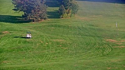
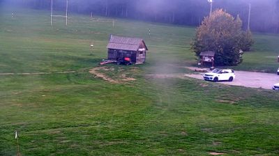
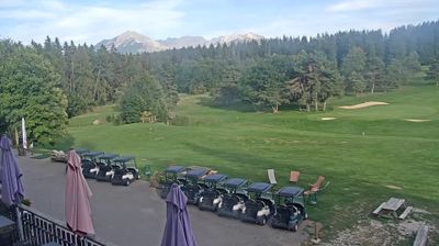
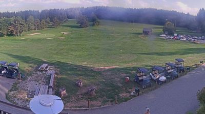
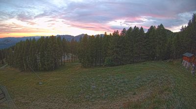
Live webcam

Open liften: 0%
Sneeuwbericht
- Laatste 24 uur: 0 cm
- Laatste 72 uur: 0 cm
- Laatste 7 dagen: 0 cm
- Laatste 7 dagen: Dal 0cm · Middenstation 0cm · Top 0cm
- Seizoenstotaal: 0 cm
Skigebieden nu open · Sneeuwbericht
About Laye
A quiet family hideaway where low-key charm and sun-drenched slopes offer an intimate alternative to the busy French giants.
Highlights
- Rustic farmhouses
- Family-run atmosphere
- Southern Alpine sun
- Untouched forest trails
Key Facts
- Altitude: 1193m
- Top lift: 1850m
- Ski pistes: 10km
- Ski lifts: 5
- Population: 242
- Lakes nearby: 9
- MTB trails: 203.7km
- Mountain huts: 2
Ski Area
Weather and 10-day forecast for Laye
- Today: 12 to 20 °C, clear sky, 10 h of sunshine
- Freezing level today: about 4370 m (4230 to 4610 m)
| Day | Min / max | Sky | Precipitation | Sunshine |
|---|---|---|---|---|
| zo 20 sep | 12 / 20 °C | clear sky | dry | 10 h sun |
| ma 21 sep | 13 / 19 °C | partly cloudy | dry | 6 h sun |
| di 22 sep | 12 / 21 °C | clear sky | dry | 11 h sun |
| wo 23 sep | 9 / 19 °C | clear sky | dry | 9 h sun |
| do 24 sep | 9 / 20 °C | overcast | dry | 5 h sun |
| vr 25 sep | 10 / 18 °C | clear sky | dry | 9 h sun |
| za 26 sep | 11 / 20 °C | clear sky | dry | 12 h sun |
| zo 27 sep | 12 / 21 °C | clear sky | dry | 11 h sun |
| ma 28 sep | 7 / 21 °C | clear sky | dry | 12 h sun |
| di 29 sep | 7 / 20 °C | clear sky | dry | 12 h sun |
Things to do in Laye
Hikes nearby — Laye (17)
17 curated hiking trails around Laye, sourced from OpenStreetMap and enriched with distance, elevation gain and difficulty.
-
Le Pic de Gleize par le Sentier de Ronde
A long, airy loop demanding sure footing, this route climbs to the Pic de Gleize (2,161 m) via the Col de Gleize (1,696 m), where sweeping views open across the entire Champsaur. The col also serves as a gateway toward the wild Cirque de Chaudun, and the panoramas throughout are described as magnificent.
-
Plateau de Bayard
The route climbs in switchbacks to the Col de Gleize, where the Gapençais basin and surrounding summits open into sweeping views, before plunging into the Bois Vert state forest, which occasionally parts to reveal glimpses of the Champsaur bocage, then descends to follow the banks of the Drac river.
-
Le Pic de Gleize
The loop departs from the Col de Gleize (1696m) and climbs to the Pic de Gleize at 2161m, threading through a landscape of summits, ridges, and rocky crests on the eastern flank of the Dévoluy massif.
-
Le Tour de Folletière
-
Le Tour de Guizière
The route winds through the woods and open flanks of the Montagne de Charance, climbing in broad switchbacks among the pines to a ridge at 1862 m and the Col de Guizière. Spring brings the trail alive with alpine flora — anemones, tulips, orchids, and clematis — while summer offers cool shade in the forest.
-
Sentier de ronde de Chaudun
-
Tour du Chaillol (Variante par le Refuge du Tourond)
-
Le Torrent de Bonne
-
Le Viaduc du Buzon
-
Le Tour de l'Odyssée
-
Le Tour du Cuchon
-
Pont des Marrons - Chahio Vieux
-
Chapeau de Napoléon
-
Le Circuit de Charance
-
Le Clos Chenu - Peyre Gerle
-
La Colline de Puymaure
-
La Colline de Saint-Mens
Mountain biking near Laye
- Tour du Champsaur
- Balcons du Gapençais
- L'Hermitage
- St Bonnet Plan d'Eau
- Chemin des Barbeyroux
- Chemin de Grand Couaste
Getting to Laye
Door-to-door travel times as used by the MR. ALPS ranking.
- Nearest airport: Lyon Saint-Exupéry Airport (LYS), 144 km away, about 2h23 by road
- Grenoble: 1h39 by car, 92 km
- Chambéry: 2h16 by car, 151 km
- Marseille: 2h18 by car, 190 km
- Annecy: 2h48 by car, 198 km
- Lyon: 2h49 by car, 193 km
- Genève: 3h15 by car, 236 km
Where to stay in Laye
25 places to stay for a night on 2026-09-25, from 46 EUR per night, median 95 EUR. Prices are direct with hotels and destinations, compared live on the Laye page.