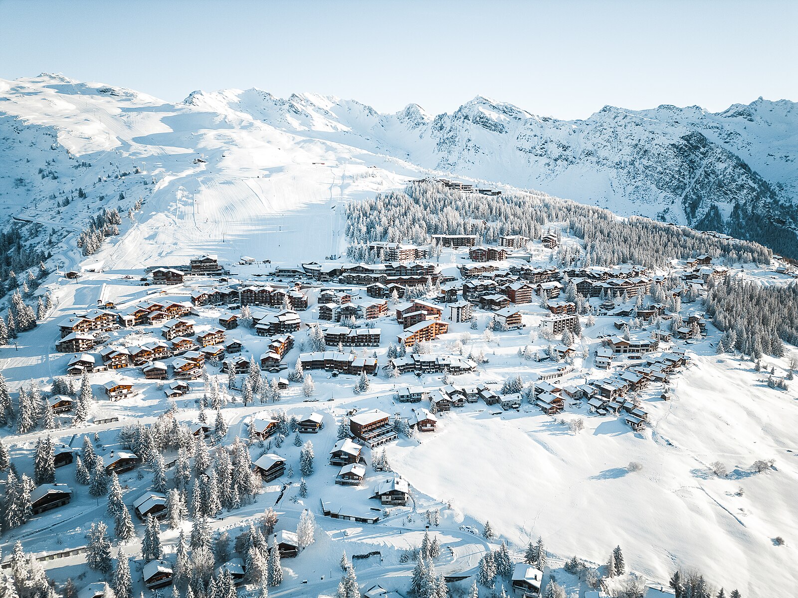
La Rosière
Live webcam
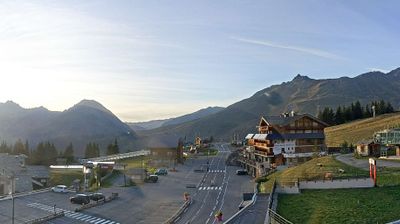
Open liften: 0/37
Sneeuwbericht
- Laatste 24 uur: 0 cm
- Laatste 72 uur: 0 cm
- Laatste 7 dagen: 0 cm
- Laatste 7 dagen: Dal 0cm · Middenstation 0cm · Top 0cm
- Seizoenstotaal: 8.3 cm
Skigebieden nu open · Sneeuwbericht
About La Rosière
A sunny, family-oriented balcony over the Tarentaise, prized for its dual-culture spirit and seamless cross-border skiing into Italy.
Highlights
- Cross-border skiing
- South-facing slopes
- Franco-Italian culture
- Quiet family atmosphere
Key Facts
- Altitude: 1844m
- Top lift: 2800m
- Ski pistes: 144km
- Ski lifts: 38
- Population: 79
- Lakes nearby: 32
- MTB trails: 175.8km
- Mountain huts: 15
Ski Area
Inbegrepen in deze seizoenpassen
Weather and 10-day forecast for La Rosière
- Today: 5 to 14 °C, partly cloudy, 8 h of sunshine
- Freezing level today: about 4237 m (3800 to 4450 m)
| Day | Min / max | Sky | Precipitation | Sunshine |
|---|---|---|---|---|
| vr 25 sep | 5 / 14 °C | partly cloudy | dry | 8 h sun |
| za 26 sep | 6 / 16 °C | clear sky | dry | 10 h sun |
| zo 27 sep | 8 / 18 °C | clear sky | dry | 12 h sun |
| ma 28 sep | 9 / 18 °C | clear sky | dry | 11 h sun |
| di 29 sep | 8 / 19 °C | clear sky | dry | 10 h sun |
| wo 30 sep | 6 / 15 °C | overcast | dry | 1 h sun |
| do 1 okt | 5 / 17 °C | partly cloudy | dry | 6 h sun |
| vr 2 okt | 5 / 9 °C | drizzle | dry | 1 h sun |
| za 3 okt | 3 / 12 °C | partly cloudy | dry | 5 h sun |
| zo 4 okt | 1 / 13 °C | partly cloudy | dry | 6 h sun |
Things to do in La Rosière
Hikes nearby — La Rosière (10)
10 curated hiking trails around La Rosière, sourced from OpenStreetMap and enriched with distance, elevation gain and difficulty.
-
Sentier des Écureuils
A shaded loop through the Forêt de Malgovert — a mix of fir, spruce, and larch — the trail traces the banks of the Isère, whose waters shelter a population of Mediterranean-strain brown trout alongside their Atlantic cousins. The route crosses the river twice and passes a youth hostel, threading between cool forest and the flat haymeadows that line the right bank.
-
Grand Tour de Tarentaise - Traversée Les Chapieux -> Col du Petit Saint-Bernard
-
Grand Tour de Tarentaise - 1. Traversée du col du Petit-Saint-Bernard -> L'Archeboc
-
Circuit de la Comtesse Cécile
-
Sentier des Boëdets
The trail traverses a balcony-style path with open views toward Mont-Blanc, with a mountain river visible along the route.
-
K2 - Landry Aiguille Grive
-
Circuit du Ragairon
-
BSM <> Arc 1600 par Courbaton
-
BSM <> Arc 1600 par Plan Devin
-
La Maïtaz
Mountain biking near La Rosière
- Blueberry
- Blue Velvet
- Dream Forest
- Zittieux
- DH Zittieux
- Chemin des Myrtilles
- Blue Rocks bis
Getting to La Rosière
Door-to-door travel times as used by the MR. ALPS ranking.
- Nearest airport: Turin Airport (TRN), 78 km away, about 2h25 by road
- Chambéry: 1h49 by car, 127 km
- Annecy: 2h12 by car, 124 km
- Grenoble: 2h13 by car, 158 km
- Genève: 2h15 by car, 136 km
- Torino: 2h39 by car, 177 km
- Lausanne: 2h56 by car, 173 km
Where to stay in La Rosière
140 places to stay for a night on 2026-09-25, from 93 EUR per night, median 137 EUR. Prices are direct with hotels and destinations, compared live on the La Rosière page.