Klosters
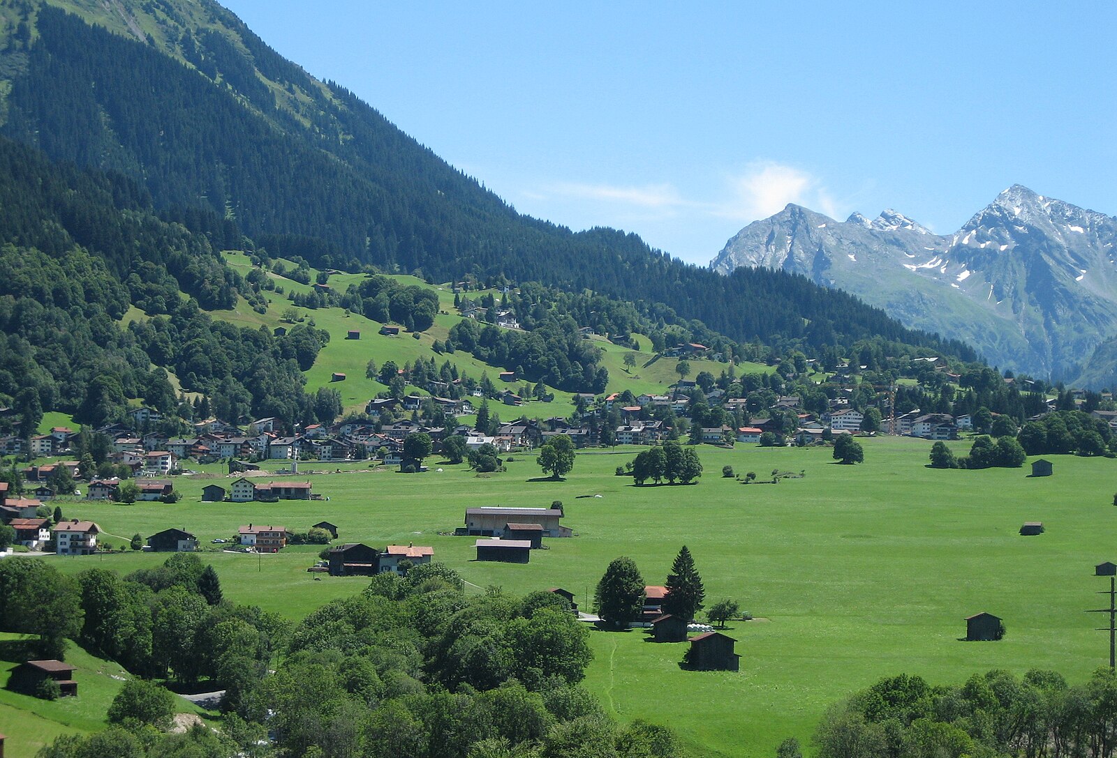
Live webcam
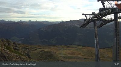


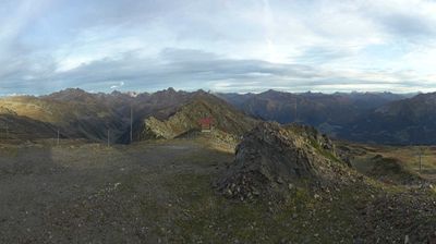
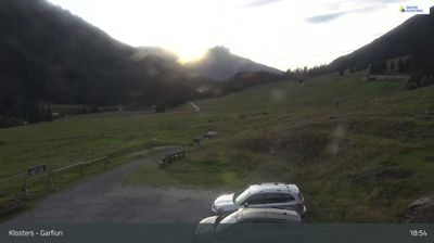
Open liften: 0/56
Sneeuwbericht
- Laatste 24 uur: 0 cm
- Laatste 72 uur: 0 cm
- Laatste 7 dagen: 0 cm
- Laatste 7 dagen: Dal 0cm · Middenstation 0cm · Top 0cm
- Seizoenstotaal: 19.9 cm
Skigebieden nu open · Sneeuwbericht
About Klosters
The discrete retreat of choice for British royalty, defined by understated luxury and a refreshing lack of flashiness.
Highlights
- Royal family heritage
- Understated luxury
- Traditional chalet architecture
- Quiet mountain prestige
Key Facts
- Altitude: 1208m
- Top lift: 2844m
- Ski pistes: 248km
- Ski lifts: 56
- Population: 4,416
- Lakes nearby: 16
- MTB trails: 270.8km
- Mountain huts: 8
Ski Area
Inbegrepen in deze seizoenpassen
Weather and 10-day forecast for Klosters
- Today: 4 to 19 °C, clear sky, 11 h of sunshine
- Freezing level today: about 3630 m (3320 to 3810 m)
| Day | Min / max | Sky | Precipitation | Sunshine |
|---|---|---|---|---|
| wo 23 sep | 4 / 19 °C | clear sky | dry | 11 h sun |
| do 24 sep | 7 / 18 °C | overcast | dry | 3 h sun |
| vr 25 sep | 5 / 18 °C | clear sky | dry | 10 h sun |
| za 26 sep | 9 / 22 °C | clear sky | dry | 11 h sun |
| zo 27 sep | 12 / 24 °C | clear sky | dry | 12 h sun |
| ma 28 sep | 13 / 24 °C | rain showers | 0 mm rain | 9 h sun |
| di 29 sep | 15 / 25 °C | clear sky | dry | 12 h sun |
| wo 30 sep | 15 / 24 °C | clear sky | dry | 12 h sun |
| do 1 okt | 10 / 21 °C | rain showers | 18 mm rain | 11 h sun |
| vr 2 okt | 7 / 11 °C | rain showers | 23 mm rain | 0 h sun |
Things to do in Klosters
Hikes nearby — Klosters (20)
20+ curated hiking trails around Klosters, sourced from OpenStreetMap and enriched with distance, elevation gain and difficulty.
-
Walserweg - Etappe 17
A demanding traverse from Langwies to Klosters through untouched cultural landscapes and wide alpine terrain. The Heimatmuseum Nutli Hüschi along the way offers a window into the farming life of the Walser people.
-
Prättigauer Höhenweg - Etappe 4
The route follows the Alpbach stream past scattered farmsteads up to the Jägglisch Horn at 2,257 m, where views open across the Rätikon and the full sweep of the Prättigauer Höhenweg. A long traverse of the hillside then passes the Erlebnispark Madrisa-Land and the Madrisabahn mountain station before descending through the Schlappintobel gorge to Klosters.
-
Walserweg - Etappe 18
The route climbs steeply through the Schlappintobel and its forest into the Saas Alpine region, then crosses the Rätschenjoch — a karst landscape and former mining area — where views open wide to both north and south. Scattered Walser settlements cling to the hillsides of the Gafiatal, reminders that these people cultivated remote, inhospitable terrain in the late Middle Ages, before the trail descends to the compact village of St. Antönien Platz.
-
Clavadürli - Davos Laret
The route passes two striking feats of engineering: the Sunniberg Bridge and the Rhätische Bahn's spiral tunnel (Kehrtunnel), set against a varied landscape of forest and open hillside.
-
Klosters Platz - Grossrüti
The route passes two striking feats of engineering: the Sunnibergbrücke and the Rhätische Bahn's Kehrtunnel (loop tunnel), set against the autumn meadows of the Grossrüti.
-
Gotschnagrat - Schwarzseealp
-
Gotschnaboden - Schwarzseealp
This point-to-point trail begins at the mountain station of the Gotschnaboden cable car and gradually descends toward Wolfgang, passing through the Schwarzseealp in the Klosters area of Graubünden.
-
Gotschnagrat - Parsennhütte
-
Walki - Saas
The trail winds through quiet forest before opening to views toward Serneus and Klosters, with the imposing Sunnibergbrücke bridge visible in the distance.
-
Drusatscha - Chaltboden
-
Strelapass - Parsennhütte
-
Fuorcla Zadrell
-
Schanfigger Höhenweg - Etappe 2
-
Via son Giachen
-
Via son Giachen
-
ViaValtellina: Schlappin - Davos Dorf Bahnhofstrasse
-
Prättigauer Höhenweg: St. Antönien Platz - Klosters Bahnhof
-
Walserweg: Klosters Dorf Bahnhof - St. Antönien Platz
-
Walserweg: Langwies Dorf - Klosters Dorf Bahnhof
-
Schanfigger Höhenweg: Jatz Heimeli - Strassberg
Mountain biking near Klosters
- Durannapass-Strelapass
- Chalbersäss Trail
- Gotschna Freeride
- Stützalpstrasse
- Schwarzseealp-Gotschnaboden
- Panoramaweg
Getting to Klosters
Door-to-door travel times as used by the MR. ALPS ranking.
- Nearest airport: Bodensee Airport Friedrichshafen (FDH), 93 km away, about 1h54 by road
- Zürich: 1h48 by car, 137 km
- Luzern: 2h07 by car, 160 km
- Innsbruck: 2h41 by car, 187 km
- Basel: 2h45 by car, 220 km
- Bolzano - Bozen: 3h01 by car, 177 km
- Biel/Bienne: 3h11 by car, 257 km
Where to stay in Klosters
200 places to stay for a night on 2026-09-25, from 118 EUR per night, median 279 EUR. Prices are direct with hotels and destinations, compared live on the Klosters page.