Kasberg – Grünau im Almtal
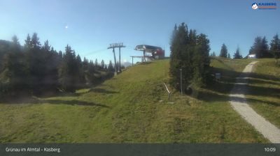
Live webcam
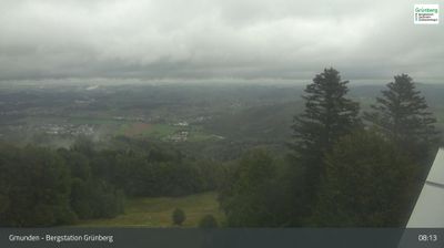
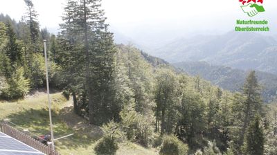
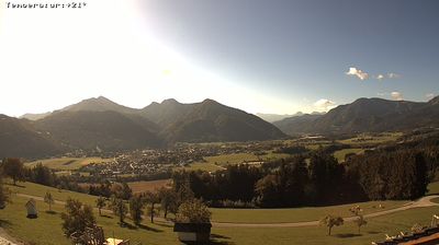
Open liften: 0/13
Sneeuwbericht
- Laatste 24 uur: 0 cm
- Laatste 72 uur: 0 cm
- Laatste 7 dagen: 0 cm
- Laatste 7 dagen: Dal 0cm · Middenstation 0cm · Top 0cm
- Seizoenstotaal: 0 cm
Skigebieden nu open · Sneeuwbericht
About Kasberg – Grünau im Almtal
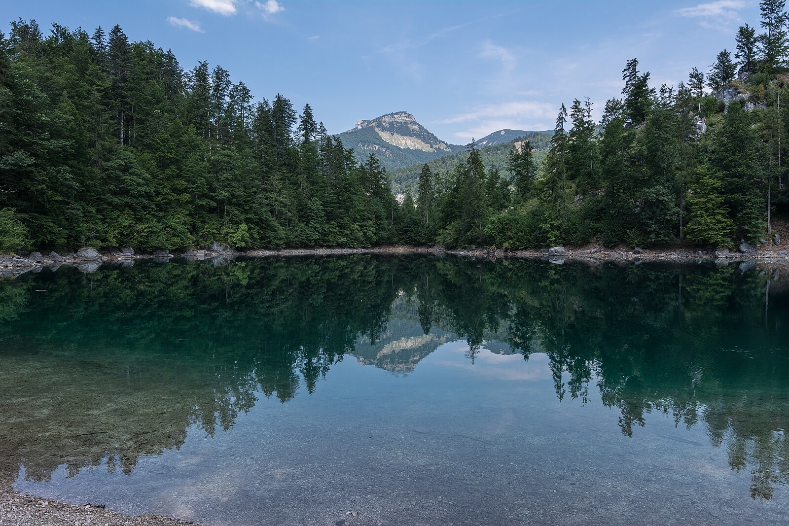
A low-key sanctuary in the Salzkammergut, prized for its unpretentious charm and deep-rooted commitment to family-oriented skiing.
Highlights
- Family-first atmosphere
- Pristine forest trails
- Rustic mountain huts
- Quiet Upper-Austrian charm
Key Facts
- Altitude: 1253m
- Top lift: 1600m
- Ski pistes: 23km
- Ski lifts: 12
- Population: 2,064
- Lakes nearby: 9
- MTB trails: 70.9km
- Mountain huts: 10
Ski Area
Weather and 10-day forecast for Kasberg – Grünau im Almtal
- Today: 5 to 10 °C, rain showers, 1 h of sunshine
- Freezing level today: about 2603 m (1990 to 3270 m)
| Day | Min / max | Sky | Precipitation | Sunshine |
|---|---|---|---|---|
| do 24 sep | 5 / 10 °C | rain showers | dry | 1 h sun |
| vr 25 sep | 3 / 10 °C | clear sky | dry | 10 h sun |
| za 26 sep | 4 / 15 °C | clear sky | dry | 11 h sun |
| zo 27 sep | 8 / 17 °C | clear sky | dry | 9 h sun |
| ma 28 sep | 10 / 19 °C | clear sky | dry | 12 h sun |
| di 29 sep | 12 / 21 °C | clear sky | dry | 11 h sun |
| wo 30 sep | 11 / 20 °C | clear sky | dry | 11 h sun |
| do 1 okt | 6 / 18 °C | clear sky | dry | 11 h sun |
| vr 2 okt | 7 / 15 °C | drizzle | dry | 1 h sun |
| za 3 okt | 7 / 12 °C | rain showers | dry | 3 h sun |
Things to do in Kasberg – Grünau im Almtal
Hikes nearby — Kasberg – Grünau im Almtal (13)
13 curated hiking trails around Kasberg – Grünau im Almtal, sourced from OpenStreetMap and enriched with distance, elevation gain and difficulty.
-
BergeSeen Trail 23: Grünau - Gmunden
-
BergeSeen Trail K1: Almtaler Haus - Steyrerhütte
This valley-to-valley crossing traverses marked forest roads and woodland paths over the Kasberg, serving as an alpine alternative for those who want to add a summit crossing to the Salzkammergut BergeSeen Trail. The route connects from Jagersimmerl along an approximately 6 km paved road to the Almtaler Haus before the hut approach begins.
-
BergeSeen Trail K2: Steyrerhütte - Grünau im Almtal
The route descends from the Steyrerhütte through the Almtal, with views taking in the Großer Priel, Schermberg, and the distant Traunstein, passing the Sepp Huber Hut along the way.
-
Wanderweg 431
From the village of Grünau, the route climbs past the Irrer Alm and the Hochberghaus to the Kasberg summit, where an unobstructed panorama of the sheer north faces of the Totes Gebirge opens up. Near the top, a short exposed notch above steep southern drops is secured with steel cables, before the path crosses a broad dwarf-pine ridge to the summit cross.
-
BergeSeen Trail 22: Jagersimmerl - Grünau
-
Almuferweg - Genuss am Almfluss
The trail follows the banks of the Alm river through the Almtal valley, passing a wooden water wheel at Rabenbrunn, the Cumberland Wildpark, and the Romantikhotel Almtalhof before arriving at the Almsee, which sits beneath the dramatic backdrop of the Totes Gebirge.
-
Wanderweg 440
Lengau - Schindlbach - Wasserböden - Höbach
-
Wanderweg 438
Enzenbachmühle - Hochsalm
-
Wanderweg 433
Wanderweg Steyrling/Brunnental => Kasberg Gipfel
-
Wanderweg 441
Lengau - Pfannstein
-
Wanderweg 436a
Wanderweg 436a auf den Windhagkogel
-
Wanderweg 419
Wanderweg 419 auf den Zwillingskogel
-
Glöckerlweg
Mountain biking near Kasberg – Grünau im Almtal
- MTB Route vom Almsee zum Offensee
- Zur Spitzlsteinalm
- Hacklbergrunde MTB
- Richtung Gassel-Tropfsteinhöhle
- Hochsalm MTB
- Ruinenrunde MTB
Getting to Kasberg – Grünau im Almtal
Door-to-door travel times as used by the MR. ALPS ranking.
- Nearest airport: Linz-Hörsching Airport (LNZ), 47 km away, about 1h49 by road
- Graz: 3h16 by car, 199 km
- Wien: 3h34 by car, 239 km
- München: 3h36 by car, 247 km
- Innsbruck: 4h10 by car, 285 km
- Nürnberg: 4h30 by car, 354 km
- Bolzano - Bozen: 5h35 by car, 400 km
Where to stay in Kasberg – Grünau im Almtal
25 places to stay for a night on 2026-09-25, from 111 EUR per night, median 168 EUR. Prices are direct with hotels and destinations, compared live on the Kasberg – Grünau im Almtal page.