Höfen
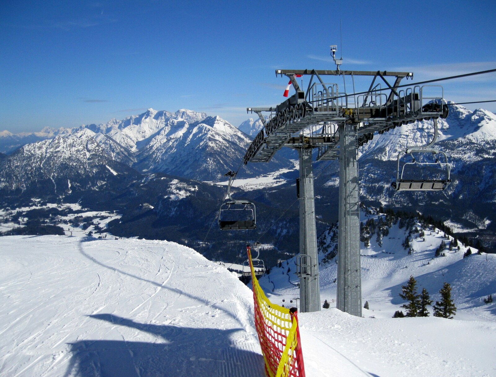
Live webcam
Open liften: 0/3
Sneeuwbericht
- Laatste 24 uur: 0 cm
- Laatste 72 uur: 0 cm
- Laatste 7 dagen: 0 cm
- Laatste 7 dagen: Dal 0cm · Middenstation 0cm · Top 0cm
- Seizoenstotaal: 0 cm
Skigebieden nu open · Sneeuwbericht
About Höfen
A quiet Tyrolean escape where traditional farmhouses meet the gentle slopes of the Hahnenkamm, offering a slower pace of Alpine life.
Highlights
- Traditional Tyrolean architecture
- Family-friendly atmosphere
- Panoramic valley views
- Rural mountain charm
Key Facts
- Altitude: 854m
- Top lift: 1900m
- Ski pistes: 16km
- Ski lifts: 4
- Population: 1,287
- Lakes nearby: 24
- MTB trails: 246.3km
- Mountain huts: 34
Ski Area
Weather and 10-day forecast for Höfen
- Today: 5 to 18 °C, clear sky, 12 h of sunshine
- Freezing level today: about 3669 m (3340 to 3860 m)
| Day | Min / max | Sky | Precipitation | Sunshine |
|---|---|---|---|---|
| wo 23 sep | 5 / 18 °C | clear sky | dry | 12 h sun |
| do 24 sep | 7 / 17 °C | overcast | dry | 1 h sun |
| vr 25 sep | 2 / 17 °C | clear sky | dry | 10 h sun |
| za 26 sep | 3 / 21 °C | clear sky | dry | 12 h sun |
| zo 27 sep | 6 / 23 °C | clear sky | dry | 12 h sun |
| ma 28 sep | 14 / 23 °C | overcast | dry | 3 h sun |
| di 29 sep | 15 / 23 °C | clear sky | dry | 12 h sun |
| wo 30 sep | 12 / 24 °C | overcast | dry | 12 h sun |
| do 1 okt | 13 / 23 °C | overcast | dry | 12 h sun |
| vr 2 okt | 12 / 22 °C | partly cloudy | dry | 12 h sun |
Things to do in Höfen
Hikes nearby — Höfen (13)
13 curated hiking trails around Höfen, sourced from OpenStreetMap and enriched with distance, elevation gain and difficulty.
-
Via Alpina Red R48
This stage of the Via Alpina Red Trail descends from the Wolfratshauser Hütte into the seclusion and quiet of the Berwanger Tal, far from the bustle around the Fernpass, before continuing to Weißenbach am Lech in the Lechtal with barely any notable change in elevation.
-
Via Alpina Red R49
Weißenbach am Lech - Prinz-Luitpold-Haus
-
Jakobsweg Tirol - Allgäu
-
Lechweg
The Lechweg follows the Lech River from its source at Formarinsee lake through one of Europe's last wild river landscapes, passing Europe's largest ibex colony, swinging suspension bridges, and mysterious waterfalls framed by the Lechtal and Allgäu Alps. The route threads through river meadows and forests before arriving at views of the Bavarian royal castles of Neuschwanstein and Hohenschwangau near Füssen.
-
Via Alpina Purple A64
Pfronten - Tannheim
-
Via Alpina Purple A63
Füssen - Pfronten
-
Dürrenbergweg
-
Alpsee-Rundweg
Rund um den Hopfensee
-
Breitenbergbahn -Ostlerhütte - Fallmühle
-
Fallmühle-Schwarzwandweg
-
18 Brand - Rinnen
-
23 Berwang - Rastkopf - Sattelkopf - Hönig
-
Naturpfad Ahornreitweg
Dit pad volgt de route die rond 1850 werd uitgestippeld door koning Maximilian II, die hem te paard bereed naar zijn jachtlodge op de Tegelberg. Informatieborden op strategische punten langs de weg vertellen de geschiedenis van de bergen en bossen waar het pad doorheen loopt.
Mountain biking near Höfen
- Talumrundung Tannheim
- Meraner Steig
- Reintalweg
- Reuttener Hahnenkamm
- Frauensee - Feuerköpfle
- Alter Gaichtpass
- Kneipptour
- Shared Trail Almboden
Getting to Höfen
Door-to-door travel times as used by the MR. ALPS ranking.
- Nearest airport: Memmingen Allgau Airport (FMM), 64 km away, about 1h16 by road
- Innsbruck: 1h28 by car, 100 km
- München: 1h51 by car, 126 km
- Stuttgart: 2h43 by car, 235 km
- Bolzano - Bozen: 2h52 by car, 212 km
- Zürich: 3h15 by car, 245 km
- Trento: 3h23 by car, 268 km
Where to stay in Höfen
200 places to stay for a night on 2026-09-25, from 137 EUR per night, median 243 EUR. Prices are direct with hotels and destinations, compared live on the Höfen page.