Hochrindl
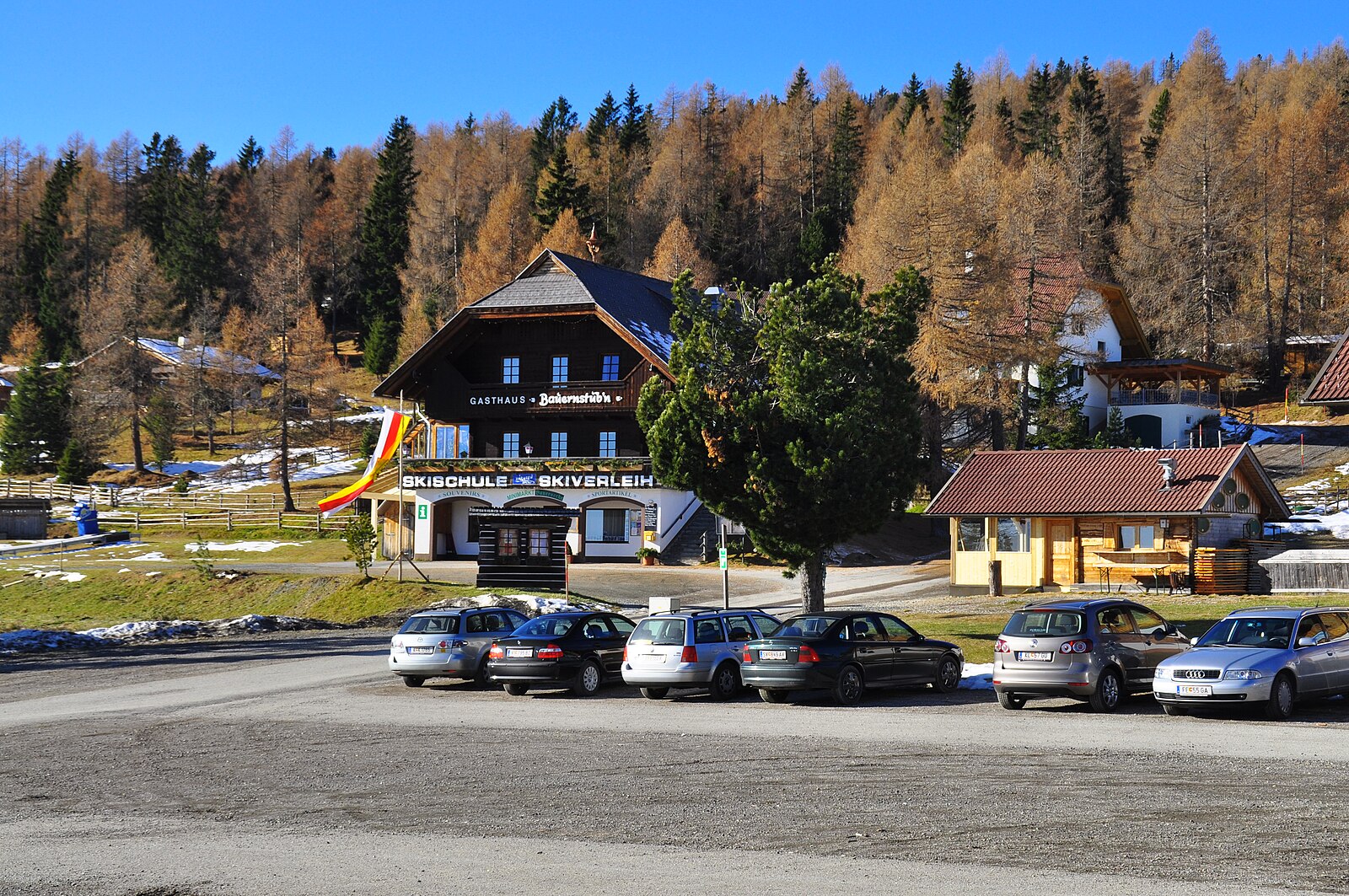
Live webcam
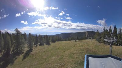
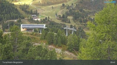
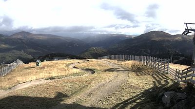
Open liften: 0/7
Sneeuwbericht
- Laatste 24 uur: 0 cm
- Laatste 72 uur: 0 cm
- Laatste 7 dagen: 0 cm
- Laatste 7 dagen: Dal 0cm · Middenstation 0cm · Top 0cm
- Seizoenstotaal: 0 cm
Skigebieden nu open · Sneeuwbericht
About Hochrindl
A quiet Carinthian secret where gentle wooden chalets and rolling pine forests offer a slower, family-centric Alpine retreat.
Highlights
- Rustic wooden chalets
- Family-friendly slopes
- Traditional mountain huts
- Panoramic Nockberge views
Key Facts
- Altitude: 1259m
- Top lift: 1832m
- Ski pistes: 20km
- Ski lifts: 7
- Population: 282
- Lakes nearby: 8
- MTB trails: 65.2km
- Mountain huts: 20
Ski Area
Inbegrepen in deze seizoenpassen
Weather and 10-day forecast for Hochrindl
- Today: 4 to 13 °C, rain, 1 h of sunshine
- Freezing level today: about 2923 m (2270 to 3420 m)
| Day | Min / max | Sky | Precipitation | Sunshine |
|---|---|---|---|---|
| do 24 sep | 4 / 13 °C | rain | dry | 1 h sun |
| vr 25 sep | 2 / 9 °C | clear sky | dry | 8 h sun |
| za 26 sep | 4 / 13 °C | clear sky | dry | 12 h sun |
| zo 27 sep | 7 / 15 °C | clear sky | dry | 11 h sun |
| ma 28 sep | 8 / 16 °C | clear sky | dry | 9 h sun |
| di 29 sep | 8 / 14 °C | partly cloudy | dry | 6 h sun |
| wo 30 sep | 8 / 15 °C | partly cloudy | dry | 7 h sun |
| do 1 okt | 7 / 14 °C | partly cloudy | dry | 5 h sun |
| vr 2 okt | 5 / 12 °C | partly cloudy | dry | 6 h sun |
| za 3 okt | 5 / 12 °C | clear sky | dry | 6 h sun |
Things to do in Hochrindl
Hikes nearby — Hochrindl (20)
20+ curated hiking trails around Hochrindl, sourced from OpenStreetMap and enriched with distance, elevation gain and difficulty.
-
Wanderweg 156
Lattersteig-Wintertalernock
-
Wanderweg 158
Gnesau - Knittel - Kruckenalm- Hochrindl
-
Gurktaler Höhenweg
Gunzenberg-Pisweg-Zammelsberg-Sirnitz-St. Leonhard-Kruckenhütte-Hochrindl-Weisses Kreuz-Flattnitz
-
Wanderweg 158-2
Sirnitz-St.Leonhard-Leonhardshöhe-Steinbühel-Weg 158
-
Wanderweg 158-1
Zedlitzdorf-Mösl-Weg 158
-
Hemmaweg Turrach-Gurk
Turrach-Hochrindl-Zammelsberg-Gurk
-
Hemmaweg Millstatt-Gurk
-
Kruckenspitz
This wooded loop winds through the alpine pasture and ski terrain of the Carinthian Nock Mountains, passing the Gasthaus Alpl and the Kruckenhütte on its way through a landscape that doubles as a working ski area.
-
Hüttenwanderweg
This circular route from the Hochrindl car park climbs to the Kegelhöhe, threading past alpine huts with panoramic views stretching across the Carinthian mountain world as far as the Karawanken and the Julian Alps.
-
Vier-Aussichtspunkte-Weg
Rundweg Hochrindl-Ghf Wicherle-Rauscheggen-Winkl-Alpl-Hochrindl
-
Wanderweg Deutschgriffen - Hochrindl
Deutschgriffen - Mitteregg - Brunn - Rauscheggen - Hochrindl
-
Deutschgriffen-Albern-Rundweg
Deutschgriffen-Raffelwirt-Albern-Faulwinkel-Rauscheggen-Ghf Wicherle
-
Wanderweg 155
St.Lorenzen - Speikkofel - Bretthöhe
-
Wanderweg 154
St.Lorenzen - Moritzsattel - Zgartenalm -Bretthöhe
-
Wanderweg 157
Flattnitz-Lattersteig
-
5
Weg 5 lt. Gemeindekarte Ebene Reichenau 1:25000. Weg ist durchgehend ohne Wegnummer beschildert.
-
Waldweg
-
Himmelberger 3-Berge-Runde
-
Altenmarkt-Weissberg
Altenmarkt-Lassenberg-Weißberg
-
Mödringberg
Mountain biking near Hochrindl
- Gurkursprung-Tour
- Nockbike 28
- Tiebelgraben
Getting to Hochrindl
Door-to-door travel times as used by the MR. ALPS ranking.
- Nearest airport: Klagenfurt Airport (KLU), 34 km away, about 50 min by road
- Graz: 2h23 by car, 177 km
- Wien: 3h43 by car, 300 km
- Padova: 3h43 by car, 324 km
- München: 3h53 by car, 307 km
- Bolzano - Bozen: 4h21 by car, 266 km
- Innsbruck: 4h26 by car, 345 km
Where to stay in Hochrindl
64 places to stay for a night on 2026-09-25, from 122 EUR per night, median 141 EUR. Prices are direct with hotels and destinations, compared live on the Hochrindl page.