Hochplatte – Marquartstein
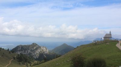
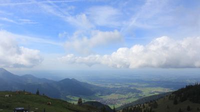
Live webcam
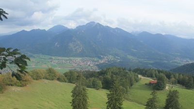
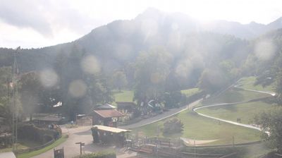
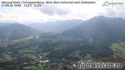
Open liften: 0%
Sneeuwbericht
- Laatste 24 uur: 0 cm
- Laatste 72 uur: 0 cm
- Laatste 7 dagen: 0 cm
- Laatste 7 dagen: Dal 0cm · Middenstation 0cm · Top 0cm
- Seizoenstotaal: 0 cm
Skigebieden nu open · Sneeuwbericht
About Hochplatte – Marquartstein
A quintessential Bavarian escape where paragliders drift above rustic dairy huts and traditional timber-framed charm.
Highlights
- Rustic alpine pastures
- Paragliding launch sites
- Traditional wood craftsmanship
- Family-run guesthouses
Key Facts
- Altitude: 618m
- Population: 2,240
- Lakes nearby: 9
- MTB trails: 230.2km
- Mountain huts: 9
Ski Area
Weather and 10-day forecast for Hochplatte – Marquartstein
- Today: 5 to 10 °C, overcast, 2 h of sunshine
- Freezing level today: about 2816 m (2150 to 3300 m)
| Day | Min / max | Sky | Precipitation | Sunshine |
|---|---|---|---|---|
| ma 21 sep | 5 / 10 °C | overcast | dry | 2 h sun |
| di 22 sep | 3 / 8 °C | partly cloudy | dry | 7 h sun |
| wo 23 sep | 0 / 11 °C | clear sky | dry | 13 h sun |
| do 24 sep | 3 / 9 °C | rain showers | dry | 1 h sun |
| vr 25 sep | 2 / 12 °C | clear sky | dry | 8 h sun |
| za 26 sep | 6 / 19 °C | clear sky | dry | 11 h sun |
| zo 27 sep | 7 / 19 °C | overcast | dry | 4 h sun |
| ma 28 sep | 3 / 19 °C | clear sky | dry | 11 h sun |
| di 29 sep | 4 / 17 °C | clear sky | dry | 11 h sun |
| wo 30 sep | 3 / 18 °C | clear sky | dry | 11 h sun |
Things to do in Hochplatte – Marquartstein
Hikes nearby — Hochplatte – Marquartstein (18)
18 curated hiking trails around Hochplatte – Marquartstein, sourced from OpenStreetMap and enriched with distance, elevation gain and difficulty.
-
Grenzenlos Wanderweg (Sachrang - Kössen - Prien)
-
Via Alpina Purple A47
Marquartstein - Kampenwand Bergstation
-
Via Alpina Purple A48
Kampenwand Bergstation - Priener Hütte
-
European Long distance path E 4 - part Germany (region Chiemgau)
From the valley station of the Hochplattenbahn, this section of the E4 long-distance trail climbs through forest on the old Plattenweg — a route demanding sure-footedness — to the Haberspitz and then the Hochplatte summit cross, where the panorama sweeps across Lake Chiemsee, the Achental, and on clear days deep into the Austrian Alps.
-
Via Alpina Purple A46
Ruhpolding - Marquartstein
-
Schlechinger Wanderweg 64
-
Schlechinger Wanderweg 62
-
Weitwies-Rundweg
-
Schlechinger Wanderweg 61
Weitwiesalm, Zellersee, Raiten, Mühlau
-
Wanderweg 205 - Marquartstein
This point-to-point route near Marquartstein passes the Kampenwand-Hauptgipfel and Kampenwand-Ostgipfel peaks, and is notably quiet — you're unlikely to encounter many other people along the way.
-
Genial Vital 5
Von der Talstation Hochplattenbahn zur Hochplatte
-
Bergwalderlebnisweg Staffen
Rundweg von der Staffnalm um Klein/Großstffen mit unterschiedlichen Erlebnisstationen.
-
Wanderweg 47 - Bernau/Grassau/Marquartstein
-
SalzAlpenTour - Über die Grassauer Almen
-
Wanderweg 2 - Rottau
-
Adersberg Höhenrundweg
-
Achendammweg
-
Berghäuser-Runde
Mountain biking near Hochplatte – Marquartstein
- Kampenwand Um. StAlm
- Genial Vital 5
- Staffen Runde
- Piesenhauser Hochalm
- Genial Vital 4
Getting to Hochplatte – Marquartstein
Door-to-door travel times as used by the MR. ALPS ranking.
- Nearest airport: Salzburg Airport (SZG), 45 km away, about 1h09 by road
- München: 1h40 by car, 99 km
- Innsbruck: 2h13 by car, 137 km
- Nürnberg: 3h09 by car, 268 km
- Bolzano - Bozen: 3h39 by car, 252 km
- Stuttgart: 3h52 by car, 332 km
- Graz: 4h09 by car, 306 km
Where to stay in Hochplatte – Marquartstein
200 places to stay for a night on 2026-09-25, from 168 EUR per night, median 310 EUR. Prices are direct with hotels and destinations, compared live on the Hochplatte – Marquartstein page.