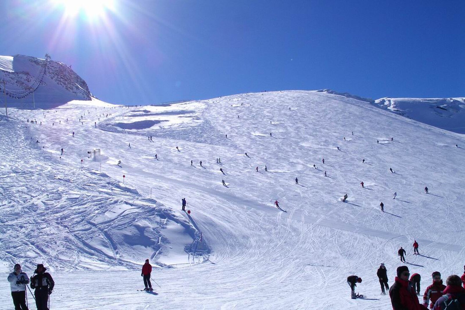
Hintertux Glacier (Hintertuxer Gletscher)
Live webcam



Open liften: 0/20
Sneeuwbericht
- Laatste 24 uur: 0 cm
- Laatste 72 uur: 0 cm
- Laatste 7 dagen: 0 cm
- Laatste 7 dagen: Dal 0cm · Middenstation 0cm · Top 1.1cm
- Seizoenstotaal: 56.2 cm
Skigebieden nu open · Sneeuwbericht
About Hintertux Glacier (Hintertuxer Gletscher)
Situated in the northern Alps at 1,500m, this historic village provides access to technical terrain reaching 3,250m. During the shoulder season, the 62km of pistes offer a quieter experience for Epic Pass holders navigating the 1,750m vertical drop.
Highlights
- 365-day skiing
- Year-round glacier
- Ice cave
- Après scene
- Year-round skiing
- Glistening ice palaces
- High-octane training
- Glacier crevasse tours
Key Facts
- Altitude: 1500m
- Top lift: 3250m
- Ski pistes: 62km
- Ski lifts: 21
- Lakes nearby: 11
- MTB trails: 121km
- Mountain huts: 29
Ski Area
Inbegrepen in deze seizoenpassen
Weather and 10-day forecast for Hintertux Glacier (Hintertuxer Gletscher)
- Today: 6 to 14 °C, clear sky, 9 h of sunshine
- Freezing level today: about 3944 m (3260 to 4180 m)
| Day | Min / max | Sky | Precipitation | Sunshine |
|---|---|---|---|---|
| zo 20 sep | 6 / 14 °C | clear sky | dry | 9 h sun |
| ma 21 sep | 1 / 9 °C | overcast | dry | 3 h sun |
| di 22 sep | -1 / 6 °C | clear sky | dry | 13 h sun |
| wo 23 sep | 1 / 12 °C | clear sky | dry | 12 h sun |
| do 24 sep | 4 / 10 °C | clear sky | dry | 9 h sun |
| vr 25 sep | 4 / 13 °C | overcast | dry | 2 h sun |
| za 26 sep | 7 / 13 °C | clear sky | dry | 11 h sun |
| zo 27 sep | 7 / 14 °C | overcast | dry | 3 h sun |
| ma 28 sep | 6 / 13 °C | clear sky | dry | 11 h sun |
| di 29 sep | 6 / 11 °C | clear sky | dry | 11 h sun |
Things to do in Hintertux Glacier (Hintertuxer Gletscher)
Hikes nearby — Hintertux Glacier (Hintertuxer Gletscher) (18)
18 curated hiking trails around Hintertux Glacier (Hintertuxer Gletscher), sourced from OpenStreetMap and enriched with distance, elevation gain and difficulty.
-
Wanderweg 524
-
Wanderweg 528
-
Wanderweg 536
-
Berliner Höhenweg Etappe 3
-
Wanderweg 502
-
Wanderweg 527
-
Toldern - Steinernes Lamm
-
Via Alpina Red R36
Pfitscherjoch / Passo Vizze - Ginzling
-
Wanderweg 526
-
Wanderweg 532
-
Wanderweg 535
-
Wanderweg 530
-
Berliner Höhenweg Etappe 2
The second stage of the Berliner Höhenweg traverses high-alpine terrain in the Zillertal Alps High Mountain Nature Park, linking the Gamshütte to the Friesenberghaus above the treeline. The route passes through a landscape of granite, moraines, and glaciated peaks rising above 3000 m.
-
Via Alpina Red R35
Dun (Pfunders / Fundres) » Pfitscherjoch / Passo Vizze
-
Wanderweg 325
-
AV Weg 529
-
AV Weg 531
-
Erlebnisweg Tuxerbach
See all 18 hikes near Hintertux Glacier (Hintertuxer Gletscher)
Mountain biking near Hintertux Glacier (Hintertuxer Gletscher)
- Breitlahner - Schlegeis
- Singletrail Pfitscherjoch
- Tuxerjoch Trail
All MTB trails near Hintertux Glacier (Hintertuxer Gletscher)
Getting to Hintertux Glacier (Hintertuxer Gletscher)
Door-to-door travel times as used by the MR. ALPS ranking.
- Nearest airport: Innsbruck Airport (INN), 33 km away
- Innsbruck: 1h32 by car, 92 km
- München: 2h31 by car, 183 km
- Bolzano - Bozen: 2h57 by car, 207 km
- Trento: 3h28 by car, 263 km
- Nürnberg: 3h59 by car, 352 km
- Verona: 4h26 by car, 358 km
Where to stay in Hintertux Glacier (Hintertuxer Gletscher)
47 places to stay for a night on 2026-09-25, from 162 EUR per night, median 508 EUR. Prices are direct with hotels and destinations, compared live on the Hintertux Glacier (Hintertuxer Gletscher) page.