Heumöser – Ebnit (Dornbirn)
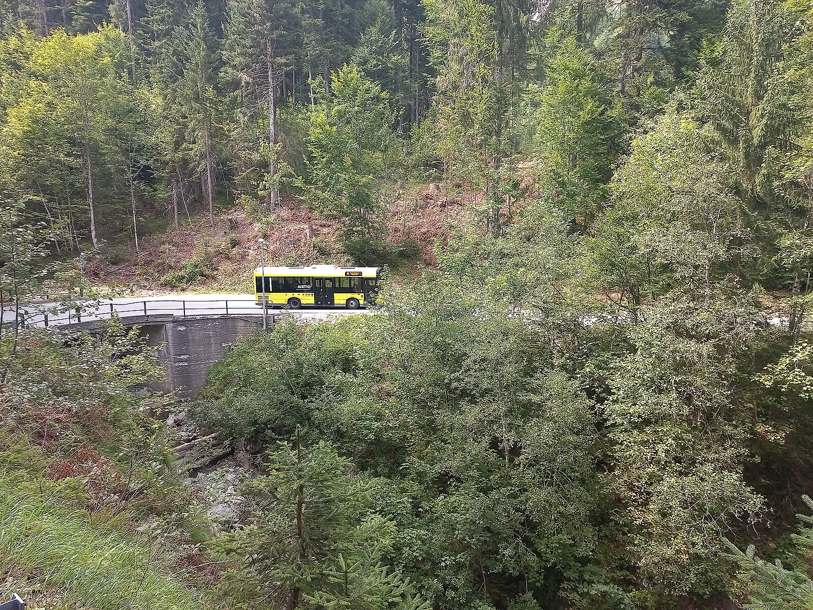
About Heumöser – Ebnit (Dornbirn)
A secluded mountain retreat above Dornbirn, where locals escape the valley fog for quiet winter hikes and nostalgic family slopes.
Highlights
- Rustic mountain inns
- Winter hiking trails
- Family-run atmosphere
- Fog-free sun decks
Key Facts
- Altitude: 1081m
- Top lift: 1205m
- Ski pistes: 3km
- Ski lifts: 2
- Population: 119
- Lakes nearby: 20
- MTB trails: 151.8km
- Mountain huts: 12
Ski Area
Inbegrepen in deze seizoenpassen
Weather and 10-day forecast for Heumöser – Ebnit (Dornbirn)
- Today: 7 to 15 °C, clear sky, 12 h of sunshine
- Freezing level today: about 3720 m (3480 to 3890 m)
| Day | Min / max | Sky | Precipitation | Sunshine |
|---|---|---|---|---|
| wo 23 sep | 7 / 15 °C | clear sky | dry | 12 h sun |
| do 24 sep | 10 / 16 °C | overcast | dry | 1 h sun |
| vr 25 sep | 6 / 16 °C | clear sky | dry | 11 h sun |
| za 26 sep | 8 / 20 °C | clear sky | dry | 12 h sun |
| zo 27 sep | 10 / 20 °C | clear sky | dry | 12 h sun |
| ma 28 sep | 13 / 22 °C | clear sky | dry | 12 h sun |
| di 29 sep | 14 / 22 °C | clear sky | dry | 12 h sun |
| wo 30 sep | 12 / 21 °C | clear sky | dry | 9 h sun |
| do 1 okt | 8 / 20 °C | partly cloudy | dry | 4 h sun |
| vr 2 okt | 8 / 21 °C | clear sky | dry | 10 h sun |
Things to do in Heumöser – Ebnit (Dornbirn)
Hikes nearby — Heumöser – Ebnit (Dornbirn) (9)
9 curated hiking trails around Heumöser – Ebnit (Dornbirn), sourced from OpenStreetMap and enriched with distance, elevation gain and difficulty.
-
Schwarzenberg-Rundweg
-
Familienweg
-
Schreckweg
-
Rheintal-Höhenweg
-
Rheintalweg Vorarlberg
-
Ebniter Rundweg
-
Staufenrunde
A circular route at around 1100 metres circling the Staufen, with views stretching across the Dornbirner Firstgebiet and the Bodensee. Most of the path runs through shady forest, with a sunny final stretch back to the Berggasthaus Schuttannen and a stop at the Staufenalpe along the way.
-
Rundweg Tschütsch
-
Bio-Lehrpfad Götzis
Mountain biking near Heumöser – Ebnit (Dornbirn)
- Klaus-Götzner Moos-Kugelalpe-Fraxern-Orsanka-Klaus
- Arbogast-Milrütte-Fluhereck-Schuttannen
- Hohenems-Schuttannen-Fluehreck-Gsohlalpe-Hohenems
- Alter Knopfweg
- Hoher Gang
- Kugelwaldweg
- Kugelweg
Getting to Heumöser – Ebnit (Dornbirn)
Door-to-door travel times as used by the MR. ALPS ranking.
- Nearest airport: Sankt Gallen Altenrhein Airport (ACH), 20 km away, about 42 min by road
- Zürich: 1h49 by car, 132 km
- Luzern: 2h25 by car, 184 km
- München: 2h26 by car, 209 km
- Innsbruck: 2h35 by car, 192 km
- Basel: 2h43 by car, 212 km
- Stuttgart: 2h48 by car, 247 km
Where to stay in Heumöser – Ebnit (Dornbirn)
185 places to stay for a night on 2026-09-25, from 97 EUR per night, median 149 EUR. Prices are direct with hotels and destinations, compared live on the Heumöser – Ebnit (Dornbirn) page.