Haldigrat
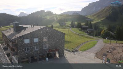
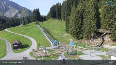
Live webcam

Sneeuwbericht
- Laatste 24 uur: 0 cm
- Laatste 72 uur: 0 cm
- Laatste 7 dagen: 0 cm
- Laatste 7 dagen: Dal 0cm · Middenstation 0cm · Top 0cm
- Seizoenstotaal: 0.2 cm
Skigebieden nu open · Sneeuwbericht
About Haldigrat
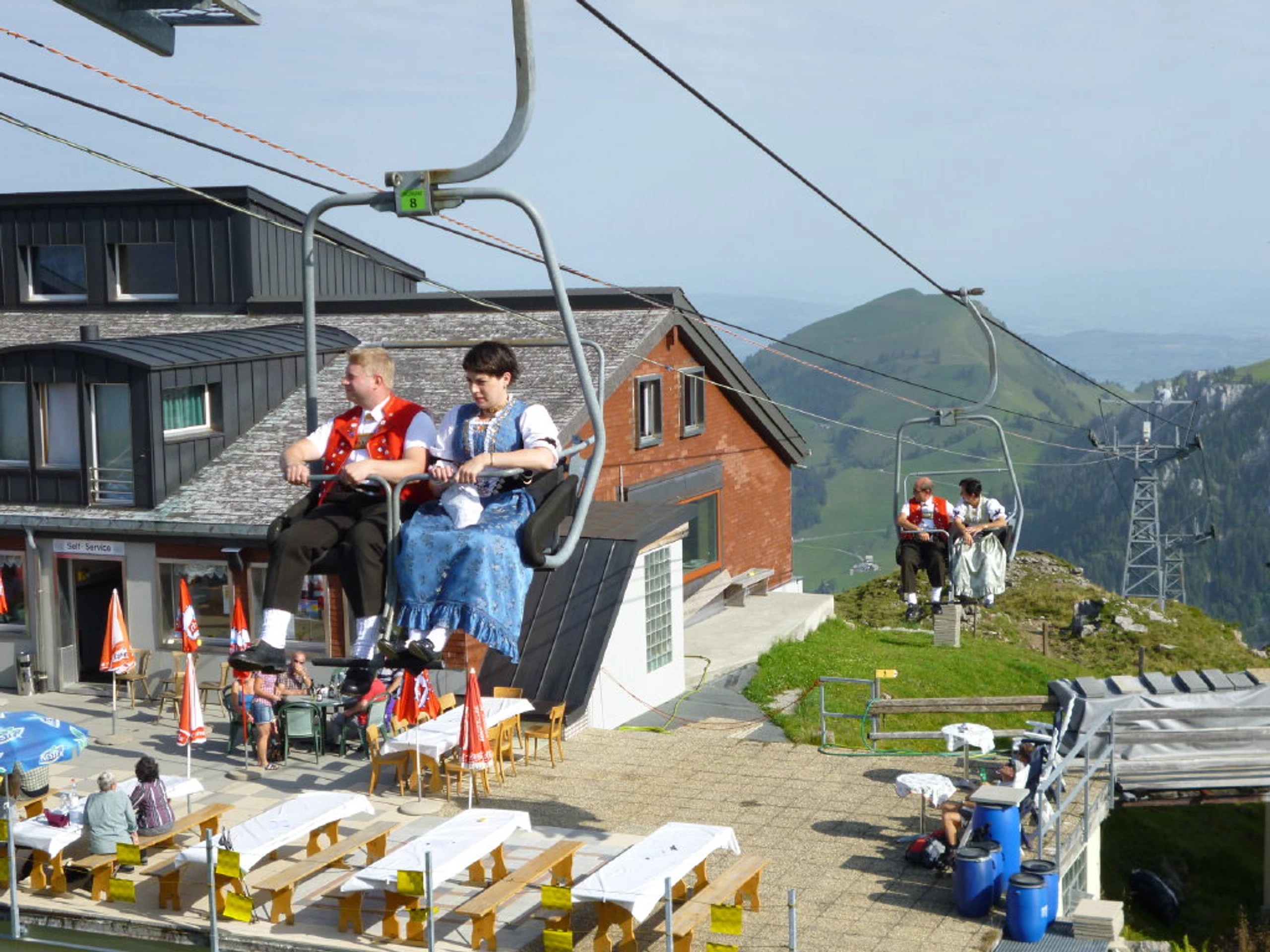
A rugged cult-favorite for purists, known for its vintage chairlift and a fierce dedication to unpisted, wild freeride terrain.
Highlights
- Steep powder faces
- Old-school chairlift
- Backcountry purist culture
- Rustic mountain hut
Key Facts
- Altitude: 1230m
- Top lift: 1941m
- Ski lifts: 1
- Lakes nearby: 9
- MTB trails: 353.3km
- Mountain huts: 16
Ski Area
Weather and 10-day forecast for Haldigrat
- Today: 8 to 13 °C, clear sky, 12 h of sunshine
- Freezing level today: about 3828 m (3550 to 4030 m)
| Day | Min / max | Sky | Precipitation | Sunshine |
|---|---|---|---|---|
| wo 23 sep | 8 / 13 °C | clear sky | dry | 12 h sun |
| do 24 sep | 8 / 13 °C | overcast | dry | 3 h sun |
| vr 25 sep | 7 / 15 °C | clear sky | dry | 10 h sun |
| za 26 sep | 11 / 17 °C | clear sky | dry | 12 h sun |
| zo 27 sep | 13 / 19 °C | clear sky | dry | 12 h sun |
| ma 28 sep | 13 / 20 °C | clear sky | dry | 9 h sun |
| di 29 sep | 14 / 20 °C | clear sky | dry | 12 h sun |
| wo 30 sep | 13 / 20 °C | clear sky | dry | 12 h sun |
| do 1 okt | 7 / 13 °C | rain showers | dry | 2 h sun |
| vr 2 okt | 4 / 7 °C | rain showers | dry | 0 h sun |
Things to do in Haldigrat
Hikes nearby — Haldigrat (20)
20+ curated hiking trails around Haldigrat, sourced from OpenStreetMap and enriched with distance, elevation gain and difficulty.
-
Benediktusweg
Der Benediktusweg ist ein 22 Kilometer langer historischer Höhenwander- und Pilgerweg zwischen Engelberg im Schweizer Kanton Obwalden und Niederrickenbach in Nidwalden an den östlichen Hängen des Engelbergertals.
-
Nidwaldner Höhenweg
The Nidwaldner Höhenweg traces six stages around the Engelberg Valley, crossing flowering mountain meadows, through ancient forests, and past glittering alpine lakes, with views stretching to the glaciated 4,000-metre peaks of the Bernese Alps. Meals and nights in mountain huts punctuate the route, which reveals the region's flora and fauna alongside panoramas of countless lakes and surrounding mountains.
-
Nidwaldner Zentrumsweg
-
Sinsgäuer Schonegg - Oberalp
The trail crosses the broad, fog-prone Sinsgäuer Schonegg pass, flanked by the Hoh Brisen to the left and the Oberalper ridge from Chaiserstuel to Bärenstock to the right, with a distinctive lone rock bearing a cross — known locally as the "Stockzahnd" — marking the landscape. In summer, around 200 cattle graze the vast alpine pastures along the way, while the Haghütte below produces cheese during the alpine season.
-
Banalp / Chrüzhütte - Bannalper Schonegg
-
Rundweg Gitschenen
-
Sankt Jakob - Sinsgäuer Schonegg
-
Goldi-Gwundernasenweg
-
Walenpfad
The Walenpfad threads through the Engelberg region from Brunni-Ristis to Bannalpsee, passing a notably exposed section near Walegg where the trail hugs the mountainside above a steep drop-off, secured by steel cables. The route ends at Bannalpsee, described as Nidwalden's jewel, with views of Titlis and the central Alps unfolding along the way.
-
Bannalper Schonegg - Rot Grätli
-
ViaUrschweiz
The ViaUrschweiz is a multi-stage panoramic cultural trail that traces the fjord-like shores of Lake Uri, climbs through wild hay landscapes and alpine farms, and crosses the Hinter Jochli before descending via the Risleten Gorge to Emmetten. Along the way it passes the Rütli meadow, the Brennwald Reserve, and the sun terrace of Alp Gitschenen, threading through the cradle of Switzerland alongside raging waterfalls and mighty mountain panoramas.
-
Kapellenweg
A loop around the Wellenberg, this trail visits eight chapels — including the Chapel of Our Lady of Sorrows at Stutzkapelle Burgholz — while offering sweeping views over the Engelberg valley.
-
Trans Swiss Trail
-
ViaJacobi
-
ViaJacobi
-
Nidwaldner Höhenweg: Oberrickenbach - Brisenhuis SAC
-
Bärfallen-Panorama-Weg
-
ViaUrschweiz: Gitschenen Bergstation - Klewenalp Bergstation
-
ViaSbrinz: Stansstad Schiffländi - _VZ Bahnhof
-
Kapellenweg Engelbergertal
Mountain biking near Haldigrat
- Isenthal Bike
- Panorama Bike
- Panorama Emmetten
- Choltal
- Sädelegg-Walenalp (Walenpfad)
- Bättlenrüti-Wellenberg
- Bleikigrat-Buochserhorn
- Gitzitritt
Getting to Haldigrat
Door-to-door travel times as used by the MR. ALPS ranking.
- Nearest airport: Zürich Airport (ZRH), 63 km away, about 1h18 by road
- Luzern: 1h22 by car, 32 km
- Zürich: 1h58 by car, 82 km
- Basel: 2h25 by car, 126 km
- Biel/Bienne: 2h35 by car, 139 km
- Bern: 2h36 by car, 140 km
- Lausanne: 3h45 by car, 243 km
Where to stay in Haldigrat
39 places to stay for a night on 2026-09-25, from 182 EUR per night, median 235 EUR. Prices are direct with hotels and destinations, compared live on the Haldigrat page.