Grabs
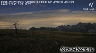
Live webcam



Open liften: 0%
Sneeuwbericht
- Laatste 24 uur: 0 cm
- Laatste 72 uur: 0 cm
- Laatste 7 dagen: 0 cm
- Laatste 7 dagen: Dal 0cm · Middenstation 0cm · Top 0cm
- Seizoenstotaal: 0 cm
Skigebieden nu open · Sneeuwbericht
About Grabs
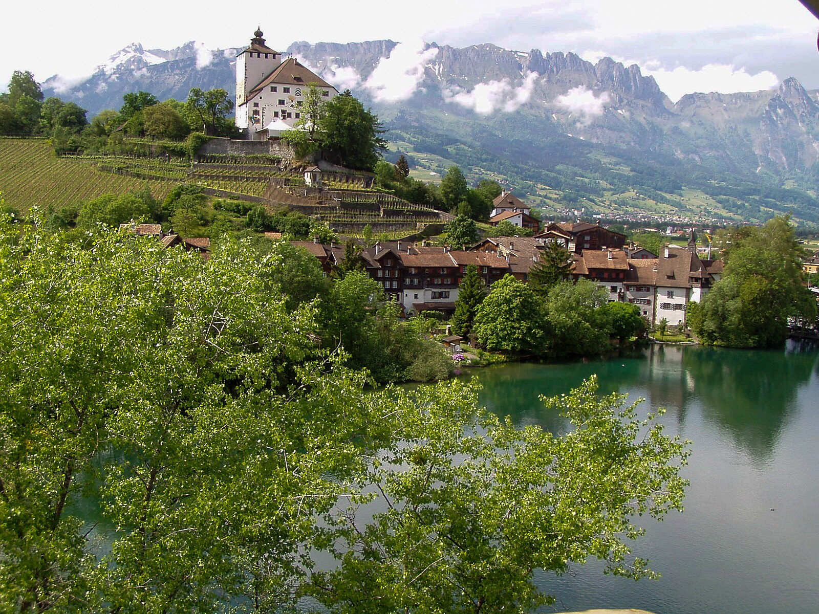
A quiet Rhine Valley terrace where traditional fruit orchards meet the rugged limestone peaks of the Alvier range.
Highlights
- Heritage timber houses
- Rhine Valley views
- Traditional orchard culture
- Quiet mountain trails
Key Facts
- Altitude: 477m
- Top lift: 482m
- Ski lifts: 1
- Population: 7,488
- Lakes nearby: 15
- MTB trails: 204.5km
- Mountain huts: 33
Ski Area
Weather and 10-day forecast for Grabs
- Today: 8 to 20 °C, clear sky, 12 h of sunshine
- Freezing level today: about 3723 m (3410 to 3930 m)
| Day | Min / max | Sky | Precipitation | Sunshine |
|---|---|---|---|---|
| wo 23 sep | 8 / 20 °C | clear sky | dry | 12 h sun |
| do 24 sep | 12 / 19 °C | overcast | dry | 1 h sun |
| vr 25 sep | 8 / 18 °C | partly cloudy | dry | 9 h sun |
| za 26 sep | 9 / 23 °C | clear sky | dry | 8 h sun |
| zo 27 sep | 12 / 25 °C | clear sky | dry | 11 h sun |
| ma 28 sep | 11 / 25 °C | partly cloudy | dry | 6 h sun |
| di 29 sep | 11 / 25 °C | clear sky | dry | 12 h sun |
| wo 30 sep | 11 / 25 °C | overcast | dry | 1 h sun |
| do 1 okt | 10 / 25 °C | partly cloudy | dry | 4 h sun |
| vr 2 okt | 11 / 25 °C | partly cloudy | dry | 7 h sun |
Things to do in Grabs
Hikes nearby — Grabs (20)
20+ curated hiking trails around Grabs, sourced from OpenStreetMap and enriched with distance, elevation gain and difficulty.
-
Rheintaler Höhenweg
-
Voralpsee Ost rot
The route circles through alpine meadows and past highland bogs (Hochmoore), with views stretching across the Toggenburg and down into the Rhine Valley. At its heart lies the Voralpsee, an idyllic mountain lake ringed by gentle pastures and forest, with swimming spots and fire-grill huts on its shores.
-
Margelchopf-Gipfelweg
The route climbs from the Malbun mountain restaurant through forest and alpine pastures, passing clusters of small mountain lakes where the Alpstein and Rhine Valley reflect in still water, before a hands-and-feet scramble up a stony peak with a pronounced north-facing rock face. From the grassy high plateau of Margelchopf — Grabs' local mountain — the view stretches across the St. Gallen Rhine Valley as far as Lake Constance, with Lake Voralp waiting at the trail's end.
-
St. Peter - Triesen Post
-
Voralp - fixme
-
Voralp See Nord rot
-
Voralpsee gelb
-
Gulmehütte
-
Engiboden rot
-
Voralp - Niederipass - Höchst - Voralp
-
Hädern - Altmannsattel
-
Jöchli Atmann
-
Sattel - Inggadells
-
Geologischer Rundweg Gamserrugg
-
Gamsalp - fixme
-
Rheintaler Höhenweg: Sennwald - Wildhaus
-
Rheintaler Höhenweg: Wildhaus - Berghaus Malbun
-
Geologischer Wanderweg Alpstein
-
Gamplüt-Säntis-Weg
-
Triesenberger Philosophenweg
Mountain biking near Grabs
- Montfort Bike
- Wildmannli Bike
- Oelberg Bike
- Valspus-Trail
- Schwendiweg
- Eigentobel
- Tesel-Gruebe-Zwinglipass
- Chlegrüti Wisliboden
Getting to Grabs
Door-to-door travel times as used by the MR. ALPS ranking.
- Nearest airport: Sankt Gallen Altenrhein Airport (ACH), 35 km away, about 36 min by road
- Zürich: 1h25 by train, 111 km
- Luzern: 1h46 by car, 140 km
- Basel: 2h24 by car, 200 km
- Innsbruck: 2h24 by car, 176 km
- München: 2h31 by car, 231 km
- Bern: 2h37 by train, 229 km
Where to stay in Grabs
98 places to stay for a night on 2026-09-25, from 137 EUR per night, median 270 EUR. Prices are direct with hotels and destinations, compared live on the Grabs page.