Ghöch
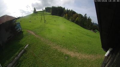
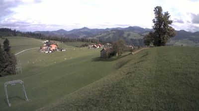
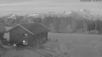
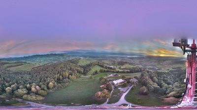
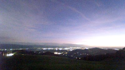
Live webcam
Open liften: 0%
Sneeuwbericht
- Laatste 24 uur: 0 cm
- Laatste 72 uur: 0 cm
- Laatste 7 dagen: 0 cm
- Laatste 7 dagen: Dal 0cm · Middenstation 0cm · Top 0cm
- Seizoenstotaal: 0 cm
Skigebieden nu open · Sneeuwbericht
About Ghöch
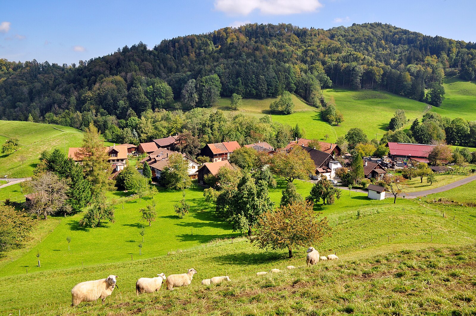
A secluded hilltop escape from Zurich's bustle, known for its nostalgic T-bar lift and panoramic views over the rolling Töss Valley.
Highlights
- Vintage ski charm
- Mist-free sunshine
- Family-run atmosphere
- Snowshoeing trails
Key Facts
- Altitude: 980m
- Top lift: 1060m
- Ski pistes: 1km
- Ski lifts: 2
- Lakes nearby: 16
- MTB trails: 45.4km
- Mountain huts: 3
Ski Area
Weather and 10-day forecast for Ghöch
- Today: 5 to 15 °C, clear sky, 12 h of sunshine
- Freezing level today: about 3649 m (3400 to 3970 m)
| Day | Min / max | Sky | Precipitation | Sunshine |
|---|---|---|---|---|
| di 22 sep | 5 / 15 °C | clear sky | dry | 12 h sun |
| wo 23 sep | 5 / 17 °C | clear sky | dry | 12 h sun |
| do 24 sep | 9 / 16 °C | partly cloudy | dry | 6 h sun |
| vr 25 sep | 5 / 16 °C | clear sky | dry | 12 h sun |
| za 26 sep | 8 / 20 °C | clear sky | dry | 12 h sun |
| zo 27 sep | 8 / 22 °C | partly cloudy | dry | 4 h sun |
| ma 28 sep | 9 / 20 °C | partly cloudy | dry | 3 h sun |
| di 29 sep | 7 / 23 °C | clear sky | dry | 9 h sun |
| wo 30 sep | 11 / 23 °C | clear sky | dry | 7 h sun |
| do 1 okt | 11 / 19 °C | rain showers | dry | 1 h sun |
Things to do in Ghöch
Hikes nearby — Ghöch (20)
20+ curated hiking trails around Ghöch, sourced from OpenStreetMap and enriched with distance, elevation gain and difficulty.
-
ViaJacobi
-
Steg - Fischenthal
-
Bäretswil - Rüetswil - Hinterburg
-
Bäretswil - Greifenberg - Hinterburg
-
Steg - Schloss
-
Bauma - Hohenegg
-
Bauma - Tüfenbach
The trail follows the Industrielehrpfad through the Zürcher Oberland, passing quiet highland plateaus, wooded ravines, and watercourses on the way to Neuthal, where a textile museum houses antique but still-functioning machines. On certain Sundays, a steam train winds through the hilly landscape alongside the route, and a rest stop with a fireplace awaits at the Rastplatz Fledermaus near the museum.
-
Lättenweid - Türli
-
Tüfenbach - Sternenberg
-
Gfell - Akau
-
Bauma Bhf. - Sternenberg
-
Hittnau - Lättenweid
-
Hittnau - Lupmenweiher - Lättenweid
-
Hittnau - Stoffel
-
ViaJacobi
-
Hüttchopf Weg
-
Toggenburger Höhenweg: Chrüzegg - Hulftegg
-
Züri Oberland-Höhenweg: Hulftegg - Chrüzegg
-
Thurgauer Tannzapfenweg
-
Züri Oberland-Höhenweg: Chrüzegg - Rapperswil
Mountain biking near Ghöch
- Bachtel Trail
- Ghöchweidweg
- Risiweg
- Neuweg
- Grossrotstein
- Josenbergweg
- Hintere Hörnlistrasse
- Schwämmistrasse
Getting to Ghöch
Door-to-door travel times as used by the MR. ALPS ranking.
- Nearest airport: Zürich Airport (ZRH), 30 km away, about 44 min by road
- Zürich: 42 min by car, 39 km
- Luzern: 1h17 by car, 81 km
- Basel: 1h36 by car, 119 km
- Biel/Bienne: 2h01 by car, 156 km
- Bern: 2h02 by car, 158 km
- Stuttgart: 2h54 by car, 226 km
Where to stay in Ghöch
21 places to stay for a night on 2026-09-25, from 167 EUR per night, median 233 EUR. Prices are direct with hotels and destinations, compared live on the Ghöch page.