Dammkar – Mittenwald
Live webcam
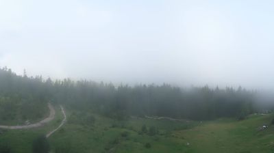

Open liften: 0%
Sneeuwbericht
- Laatste 24 uur: 0 cm
- Laatste 72 uur: 0 cm
- Laatste 7 dagen: 0 cm
- Laatste 7 dagen: Dal 0cm · Middenstation 0cm · Top 0cm
- Seizoenstotaal: 1.1 cm
Skigebieden nu open · Sneeuwbericht
About Dammkar – Mittenwald
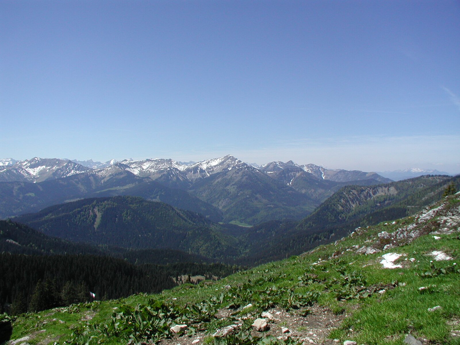
Germany’s wildest backcountry frontier, where expert freeriders brave a legendary unpisted tunnel run through jagged Bavarian limestone.
Highlights
- Extreme freeride terrain
- Historic mountain cableway
- Steep rock couloirs
- Bavarian cabin culture
Key Facts
- Altitude: 933m
- Top lift: 2244m
- Ski pistes: 7km
- Ski lifts: 1
- Population: 7,379
- Lakes nearby: 16
- MTB trails: 238.5km
- Mountain huts: 18
Ski Area
Weather and 10-day forecast for Dammkar – Mittenwald
- Today: 1 to 10 °C, clear sky, 12 h of sunshine
- Freezing level today: about 3567 m (3190 to 3780 m)
| Day | Min / max | Sky | Precipitation | Sunshine |
|---|---|---|---|---|
| wo 23 sep | 1 / 10 °C | clear sky | dry | 12 h sun |
| do 24 sep | 2 / 8 °C | overcast | 2 mm rain | 1 h sun |
| vr 25 sep | 1 / 9 °C | clear sky | dry | 11 h sun |
| za 26 sep | 4 / 14 °C | clear sky | dry | 12 h sun |
| zo 27 sep | 6 / 16 °C | clear sky | dry | 12 h sun |
| ma 28 sep | 8 / 16 °C | clear sky | dry | 12 h sun |
| di 29 sep | 6 / 18 °C | clear sky | dry | 11 h sun |
| wo 30 sep | 6 / 16 °C | clear sky | dry | 12 h sun |
| do 1 okt | 4 / 13 °C | drizzle | 8 mm rain | 11 h sun |
| vr 2 okt | 1 / 6 °C | drizzle | 19 mm rain | 0 h sun |
Things to do in Dammkar – Mittenwald
Hikes nearby — Dammkar – Mittenwald (16)
16 curated hiking trails around Dammkar – Mittenwald, sourced from OpenStreetMap and enriched with distance, elevation gain and difficulty.
-
Jakobsweg Isar - Loisach - Leutascher Ache - Inn
This Jakobsweg stage threads through a remarkable sequence of landscapes: ancient *Buckelwiesen* (hummocky meadows with a long history), transition bogs, glacier-polished rock, and pine forests, before reaching the historic Porta Claudia fortification at the Leutascher Schanz. The route also passes the dramatic Leutaschklamm gorge and the gravel banks of an Alpine river system.
-
Via Alpina Red R43
The trail descends from the Falken hut across alpine meadowland to the Ladizalm pasture and the little Ahornboden plateau, where a Hermann von Barth monument stands among great maple trees beside a well. From there, the route continues to the Karwendelhaus lodge before dropping down to Scharnitz.
-
Wanderweg 269 (Gjaidsteig)
Blasted partly into the rock face as an exposed ledge — secured in places with steel cables — the Gjaidsteig traverses the northern flank of the Karwendel range, crossing vast scree couloirs and climbing over the Kammleitenwände ridge. The route passes the Bäralplsattel and the beautifully situated Hochlandhütte on its descent toward Mittenwald, demanding sure-footedness and a head for heights throughout.
-
Wanderweg 271
Mittenwald→Ochsenbodensteig→Am Bankerl
-
Wanderweg 263
Dammkarhütte→Hochlandhütte
-
Mittenwalder Höhenweg
A classic via ferrata through the rugged limestone Karwendel mountains, this loop threads through the Naturschutzgebiet Karwendel und Karwendelvorgebirge — a protected landscape of jagged rock formations, high-altitude cirques, and karst terrain above the Isar Valley.
-
Wanderweg 280
The route climbs through forested terrain before threading up a serpentine path hemmed in by the sheer rock walls of the Dammkar, arriving at the Dammkarhütte at 1,650 metres on the western flank of the Karwendel. The hut serves traditional dishes and sits amid numerous climbing routes on the surrounding crags.
-
Wanderweg 262
Mittenwald→Ochsenbodensteig→Hochlandhaus
-
Wanderweg 277
Brunnsteinhütte→Karwendelbahn Bergstation
-
Wanderweg 276
Brunnsteinhütte→Karwendelbahn Bergstation
-
Wanderweg 260
Mittenwald→Hochlandhütte
-
Wanderweg 270
Mittenwald→Am Bankerl→Dammkarhütte→Westl. Karwendelspitze
-
Wanderweg 200
-
Wanderweg 220
-
Wanderweg 406 (grün)
-
AV Weg 820 (grün)
Mountain biking near Dammkar – Mittenwald
- Karwendel Runde
- Karwendeltal - Karwendelhaus
- Hinterautal - Kastenalm
- Jägersteig
- 362
- via Alpina
Getting to Dammkar – Mittenwald
Door-to-door travel times as used by the MR. ALPS ranking.
- Nearest airport: Innsbruck Airport (INN), 19 km away, about 38 min by road
- Innsbruck: 1h11 by car, 44 km
- München: 1h56 by car, 113 km
- Bolzano - Bozen: 2h34 by car, 156 km
- Trento: 3h05 by car, 212 km
- Nürnberg: 3h41 by car, 291 km
- Verona: 4h03 by car, 307 km
Where to stay in Dammkar – Mittenwald
200 places to stay for a night on 2026-09-25, from 157 EUR per night, median 185 EUR. Prices are direct with hotels and destinations, compared live on the Dammkar – Mittenwald page.