Crévacol, Saint Rhemy en Bosses
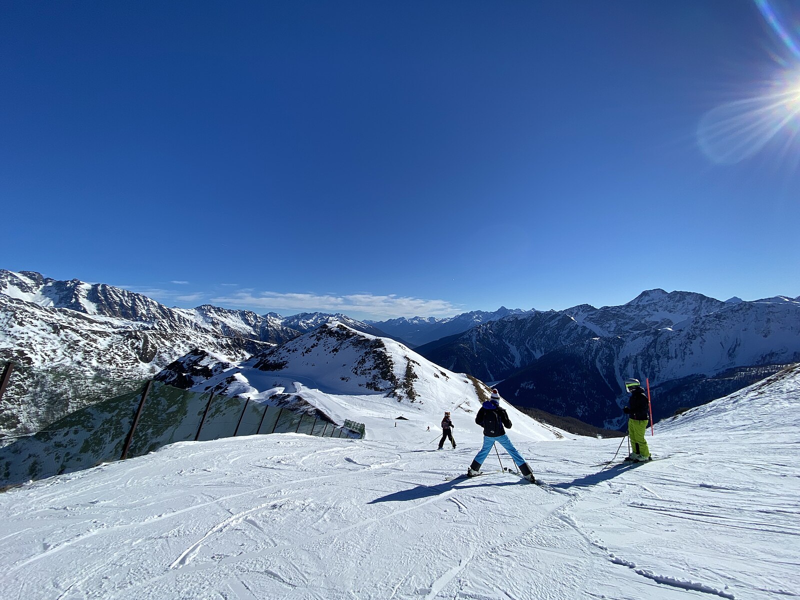
About Crévacol, Saint Rhemy en Bosses
A quiet, south-facing sun trap near the Swiss border, beloved by locals for its uncrowded slopes and relaxed Aosta Valley soul.
Highlights
- Sun-drenched terraces
- Jambon de Bosses
- Backcountry access
- Strategic border location
Key Facts
- Altitude: 1658m
- Top lift: 2450m
- Ski pistes: 21km
- Ski lifts: 3
- Population: 340
- 4000m+ peaks nearby: 15
- Lakes nearby: 9
- Mountain huts: 16
Ski Area
Inbegrepen in deze seizoenpassen
Weather and 10-day forecast for Crévacol, Saint Rhemy en Bosses
- Today: 10 to 18 °C, partly cloudy, 4 h of sunshine
- Freezing level today: about 4328 m (4200 to 4590 m)
| Day | Min / max | Sky | Precipitation | Sunshine |
|---|---|---|---|---|
| ma 21 sep | 10 / 18 °C | partly cloudy | dry | 4 h sun |
| di 22 sep | 9 / 18 °C | clear sky | dry | 12 h sun |
| wo 23 sep | 7 / 17 °C | clear sky | dry | 12 h sun |
| do 24 sep | 8 / 16 °C | clear sky | dry | 12 h sun |
| vr 25 sep | 8 / 18 °C | clear sky | dry | 8 h sun |
| za 26 sep | 8 / 19 °C | clear sky | dry | 12 h sun |
| zo 27 sep | 5 / 16 °C | overcast | dry | 4 h sun |
| ma 28 sep | 5 / 18 °C | clear sky | dry | 12 h sun |
| di 29 sep | 5 / 18 °C | clear sky | dry | 9 h sun |
| wo 30 sep | 6 / 16 °C | overcast | dry | 1 h sun |
Things to do in Crévacol, Saint Rhemy en Bosses
Hikes nearby — Crévacol, Saint Rhemy en Bosses (20)
20+ curated hiking trails around Crévacol, Saint Rhemy en Bosses, sourced from OpenStreetMap and enriched with distance, elevation gain and difficulty.
-
Col Serena
This ski mountaineering route climbs from the Crévacol ski-lift facilities through larches and alpine pastures — passing the Bois Bas mountain pasture — to the 2,547 m Col Serena, one of the classic, most popular excursions in the Gran San Bernardo valley. The final stretch before the pass demands caution: avalanche danger lurks on the approach to the col.
-
Alta Via n. 1 della Valle d'Aosta - Tappa 15
Tappa n. 15 - Saint-Rhémy-en-Bosses (1.600 mt.) - Rifugio Frassati (2.540 mt.)
-
Tour du Saint-Bernard
-
Alta Via n. 1 della Valle d'Aosta - Tappa 16
Tappa n. 16 - Rifugio Frassati (2.540 mt.) - Rifugio Bonatti (2.025 mt.)
-
Via Alpina Red R117
Col du Grand-Saint-Bernard - Cérellaz
-
Bivio strada sterrata per Jovençan - Lacs de Dziule
-
Bivio strada sterrata per Jovençan - Col Citrin
-
Jovençan - Col de Vertosan
-
Bivio strada sterrata per Jovençan - Or de Fra - Lacs de Dziule
-
Tour des Combins - Stage 8
Stage 8 - SAINT-RHÉMY – COL DU GRAND ST BERNARD - 6,3 km - 5.00/2.50 h
-
Tour du Mont Fallère - Étape trois - 4h/5h30 / Tour du Mont Fallère - Terza tappa - 4h/5h30
-
Via Francigena - 01 Valle d'Aosta
La Via Francigena, Francisca o Romea, è parte di un fascio di percorsi, detti vie romee, che dall'Europa occidentale, in particolare dalla Francia, conducevano nel Sud Europa fino a Roma proseguendo poi verso la Puglia, dove vi erano i porti d'imbarco per la Terrasanta, meta di pellegrini e di crociati.
-
Via Alpina Red R116
Bourg-St-Pierre - Col du Grand-Saint-Bernard
-
34-Chemin des cols alpins
-
33-Chemin des cols alpins
-
Alpenpässe-Weg: Col du Grd-St-Bernard - La Fouly
-
Les cols du Grand-St-Bernard
-
ViaFrancigena: Bourg-St-Pierre - 5169
-
Alpenpässe-Weg: Bourg-St-Pierre - Col du Grd-St-Bernard
-
Charrère - Verrogne
Mountain biking near Crévacol, Saint Rhemy en Bosses
- 23
Getting to Crévacol, Saint Rhemy en Bosses
Door-to-door travel times as used by the MR. ALPS ranking.
- Nearest airport: Turin Airport (TRN), 79 km away, about 1h48 by road
- Lausanne: 1h51 by car, 129 km
- Torino: 1h59 by car, 138 km
- Genève: 2h26 by car, 158 km
- Bern: 2h27 by car, 186 km
- Annecy: 2h36 by car, 169 km
- Milano: 2h42 by car, 206 km
Where to stay in Crévacol, Saint Rhemy en Bosses
74 places to stay for a night on 2026-09-25, from 128 EUR per night, median 152 EUR. Prices are direct with hotels and destinations, compared live on the Crévacol, Saint Rhemy en Bosses page.