Chamrousse
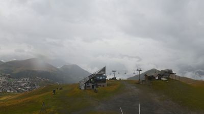
Live webcam
Open liften: 0/16
Sneeuwbericht
- Laatste 24 uur: 0 cm
- Laatste 72 uur: 0 cm
- Laatste 7 dagen: 0 cm
- Laatste 7 dagen: Dal 0cm · Middenstation 0cm · Top 0cm
- Seizoenstotaal: 2 cm
Skigebieden nu open · Sneeuwbericht
About Chamrousse
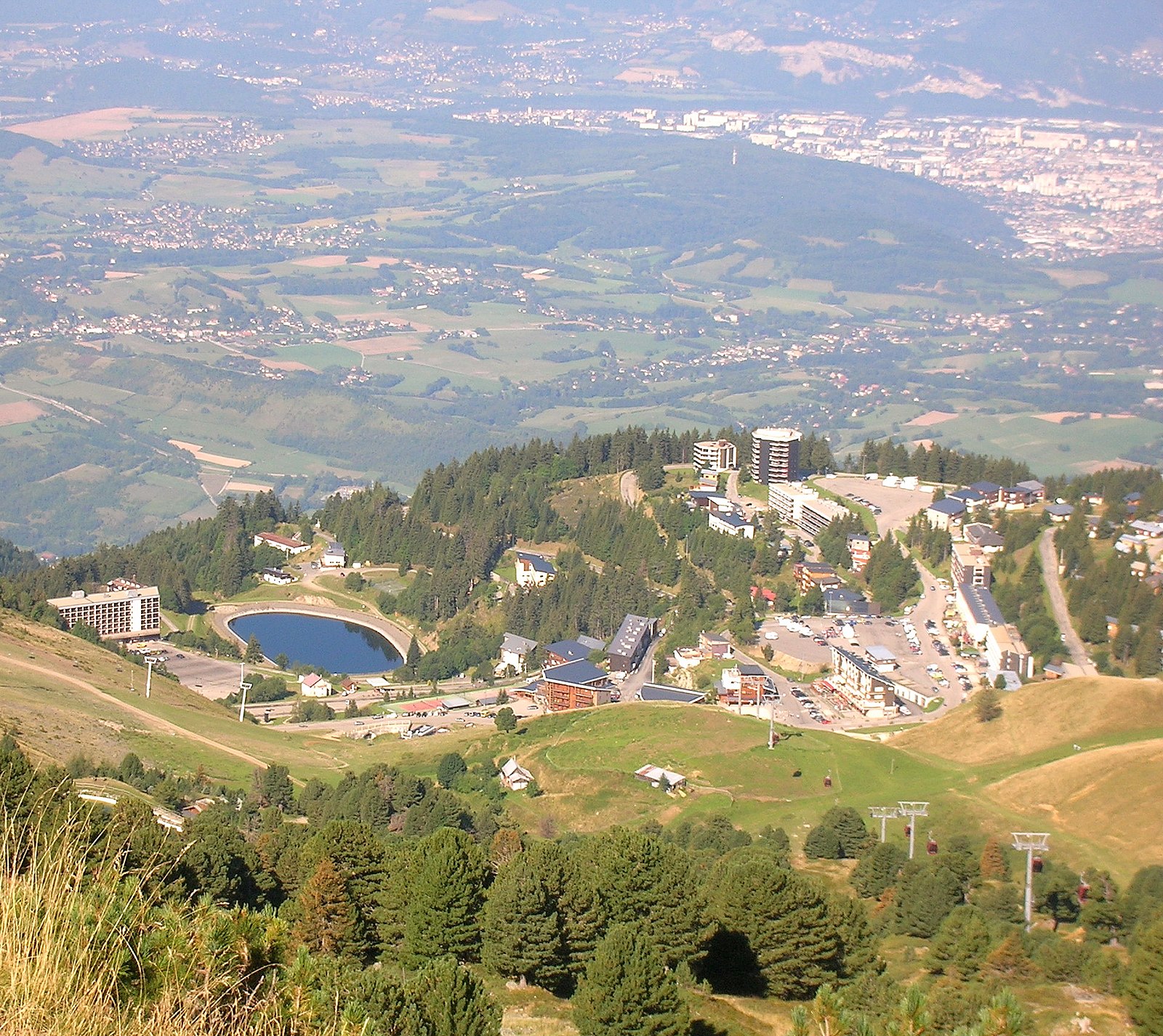
Known as the balcony of Grenoble, this Olympic site offers dramatic sunset views over the valley and a relaxed, family-friendly atmosphere.
Highlights
- Olympic downhill heritage
- Panoramic valley views
- Night skiing sessions
- Accessible family atmosphere
Key Facts
- Altitude: 1650m
- Top lift: 2250m
- Ski pistes: 90km
- Ski lifts: 16
- Population: 438
- Lakes nearby: 32
- MTB trails: 75.3km
- Mountain huts: 7
Ski Area
Weather and 10-day forecast for Chamrousse
- Today: 9 to 15 °C, clear sky, 12 h of sunshine
- Freezing level today: about 4405 m (4180 to 4640 m)
| Day | Min / max | Sky | Precipitation | Sunshine |
|---|---|---|---|---|
| wo 23 sep | 9 / 15 °C | clear sky | dry | 12 h sun |
| do 24 sep | 10 / 16 °C | partly cloudy | dry | 6 h sun |
| vr 25 sep | 10 / 18 °C | partly cloudy | dry | 8 h sun |
| za 26 sep | 9 / 18 °C | clear sky | dry | 10 h sun |
| zo 27 sep | 10 / 20 °C | clear sky | dry | 12 h sun |
| ma 28 sep | 10 / 17 °C | clear sky | dry | 11 h sun |
| di 29 sep | 10 / 18 °C | clear sky | dry | 12 h sun |
| wo 30 sep | 8 / 12 °C | drizzle | dry | 0 h sun |
| do 1 okt | 4 / 16 °C | drizzle | dry | 1 h sun |
| vr 2 okt | 5 / 16 °C | drizzle | dry | 0 h sun |
Things to do in Chamrousse
Hikes nearby — Chamrousse (18)
18 curated hiking trails around Chamrousse, sourced from OpenStreetMap and enriched with distance, elevation gain and difficulty.
-
La Haute Traversée de Belledonne - Etape 10
-
La Haute Traversée de Belledonne - Etape 11
-
Forets et Lacs d'Uriage à Chamrousse
-
Circuit des Fougères
-
Circuit des Cimes
-
Circuit des Gardes
-
Circuit du Bit
-
Circuit des Cinq Cabanes
-
Circuit des Curistes
-
Grand Circuit du Roux
-
Circuit des Remparts
-
Circuit des Crêtes
-
Le Tour de Montrond
This blue-rated loop links Chamrousse's two resort villages — Roche-Béranger at 1750 m and Recoin at 1650 m — via the Vallons lake, where walkers can pause to take in the mountain scenery before descending to the lower resort and returning along the pedestrian path at the base of the ski area.
-
Balcon de Combeloup
-
Boucle Des Cochettes
-
Balade d’Eybens à Romage
-
Boucle De Panama
-
Circuit de Beauregard
Le chemin de Beauregard conduit au bout d'une heure trente d'efforts à une vue imprenable sur Domène, Grenoble et la Pérérée. A travers une forêt de sapins aux nombreux ruisseaux, il suffit de suivre l'itinéraire indiqué par les balises blanches.
Mountain biking near Chamrousse
- La Chamroussienne
- Blanchon
- Panoramique
- Tétras
- Transhumance
- Tasse
- Rhodos
- Rockoin
Getting to Chamrousse
Door-to-door travel times as used by the MR. ALPS ranking.
- Nearest airport: Lyon Saint-Exupéry Airport (LYS), 92 km away, about 1h34 by road
- Grenoble: 43 min by car, 36 km
- Chambéry: 1h10 by car, 81 km
- Annecy: 1h42 by car, 128 km
- Lyon: 1h53 by car, 137 km
- Genève: 2h09 by car, 166 km
- Saint-Étienne: 2h26 by car, 185 km
Where to stay in Chamrousse
61 places to stay for a night on 2026-09-25, from 70 EUR per night, median 144 EUR. Prices are direct with hotels and destinations, compared live on the Chamrousse page.