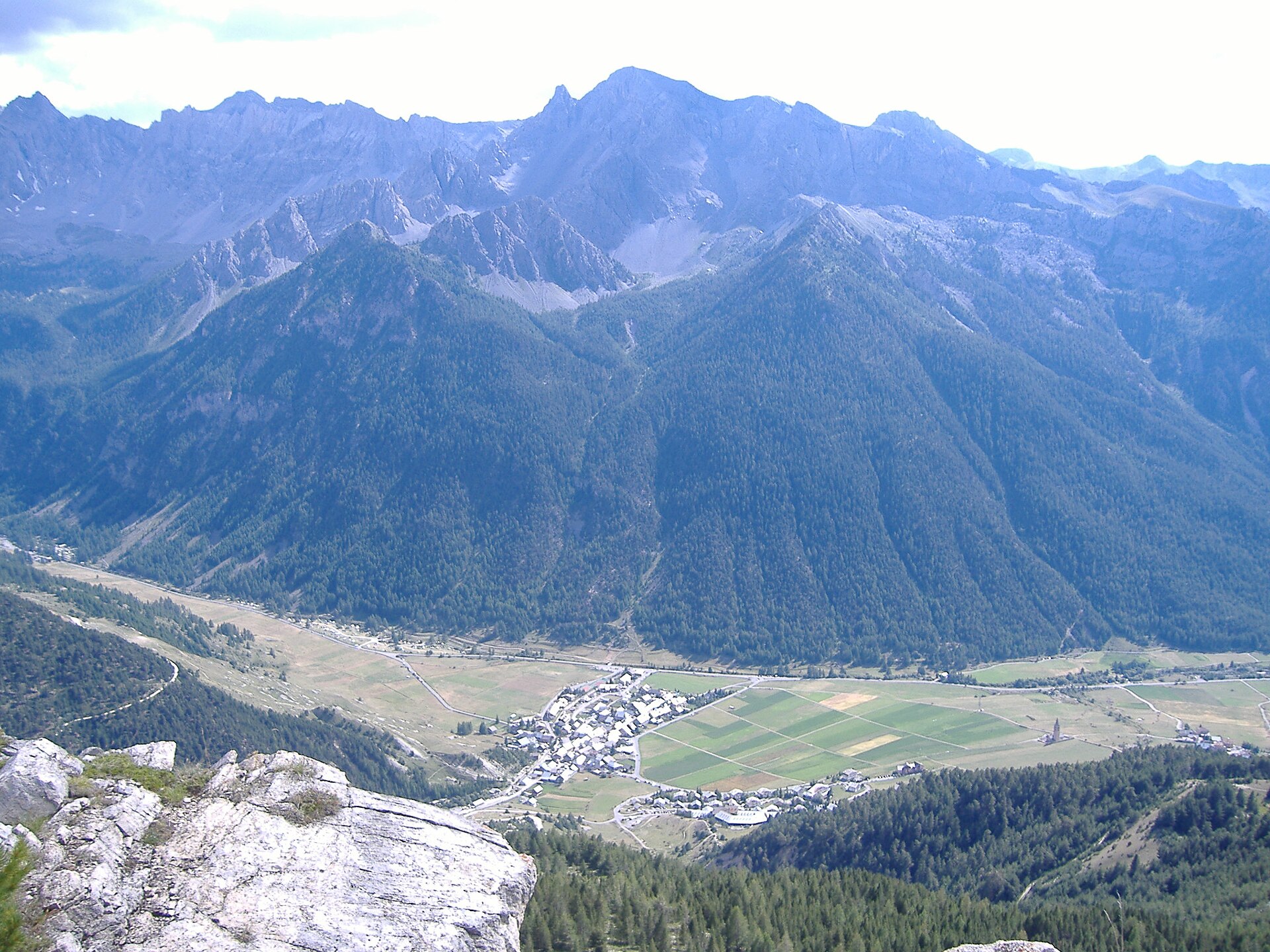
Ceillac en Queyras
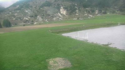
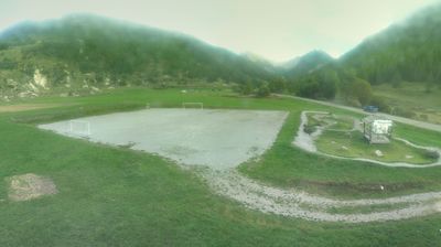
Live webcam
Open liften: 0%
Sneeuwbericht
- Laatste 24 uur: 0 cm
- Laatste 72 uur: 0 cm
- Laatste 7 dagen: 0 cm
- Laatste 7 dagen: Dal 0cm · Middenstation 0cm · Top 0cm
- Seizoenstotaal: 1.3 cm
Skigebieden nu open · Sneeuwbericht
About Ceillac en Queyras
A hidden Queyras sanctuary where time slows down among sun-bleached stone hamlets and rugged, uncrowded cross-country trails.
Highlights
- Traditional stone architecture
- High-altitude silence
- Ice climbing routes
- Untouched larch forests
Key Facts
- Altitude: 1650m
- Top lift: 2500m
- Ski pistes: 25km
- Ski lifts: 6
- Population: 271
- Lakes nearby: 12
- MTB trails: 96.8km
- Mountain huts: 9
Ski Area
Weather and 10-day forecast for Ceillac en Queyras
- Today: 8 to 19 °C, clear sky, 11 h of sunshine
- Freezing level today: about 4449 m (4220 to 4650 m)
| Day | Min / max | Sky | Precipitation | Sunshine |
|---|---|---|---|---|
| wo 23 sep | 8 / 19 °C | clear sky | dry | 11 h sun |
| do 24 sep | 6 / 21 °C | overcast | dry | 4 h sun |
| vr 25 sep | 8 / 21 °C | partly cloudy | dry | 7 h sun |
| za 26 sep | 8 / 21 °C | clear sky | dry | 12 h sun |
| zo 27 sep | 7 / 21 °C | clear sky | dry | 9 h sun |
| ma 28 sep | 8 / 21 °C | partly cloudy | dry | 7 h sun |
| di 29 sep | 11 / 22 °C | clear sky | dry | 7 h sun |
| wo 30 sep | 10 / 20 °C | overcast | dry | 11 h sun |
| do 1 okt | 8 / 13 °C | drizzle | 7 mm rain | 11 h sun |
| vr 2 okt | 4 / 11 °C | drizzle | 1 mm rain | 11 h sun |
Things to do in Ceillac en Queyras
Hikes nearby — Ceillac en Queyras (15)
15 curated hiking trails around Ceillac en Queyras, sourced from OpenStreetMap and enriched with distance, elevation gain and difficulty.
-
Bramousse - Le Mélèze de Bramousse
Un itinéraire unique qui relie le village aux chalets dalpages et qui vous permet de découvrir une curiosité de la nature: un mélèze remarquable.
-
Via Alpina Red R133
Ceillac - Maljasset
-
Tour de la Font Sancte
This loop from Ceillac passes through the Grand Bois du Moulin and a belvedere at La Font Sancte, threading through the wild, expansive landscapes of the Queyras Regional Nature Park, with Lac Saint Anne set within a cirque ringed by scree slopes.
-
Pied du Mélezet - Ruisseau de la Pisse
-
Cime du Mélezet - Pied du Mélezet
-
Vallon Claus - Col de la Colette Verte
-
Via Alpina Red R132
Refuge de Furfande - Ceillac
-
Col de Souillet - Col Fromage
-
Bramousse - Passerelle sur Riou Vert
-
Bois du Moulin - Col des Estronques
-
Draye de Ville - Teleski de Pré Géant
-
La Selle Pierre Ecrite - Ravin de la Fontaine de l'Ours
-
Traversier - Observatoire Château Renard
-
Canal Rouchas Frach - Notre Dame du Berceau
-
Via Alpina Red R131
Mont-Dauphin (Guillestre) - Refuge de Furfande
Mountain biking near Ceillac en Queyras
- Combe Chauve
- Sentier de Jalavez
Getting to Ceillac en Queyras
Door-to-door travel times as used by the MR. ALPS ranking.
- Nearest airport: Turin Airport (TRN), 91 km away, about 2h49 by road
- Torino: 2h41 by car, 158 km
- Grenoble: 2h54 by car, 164 km
- Chambéry: 3h07 by car, 207 km
- Marseille: 3h13 by car, 245 km
- Annecy: 3h39 by car, 255 km
- Nice: 3h41 by car, 194 km
Where to stay in Ceillac en Queyras
16 places to stay for a night on 2026-09-25, from 151 EUR per night, median 194 EUR. Prices are direct with hotels and destinations, compared live on the Ceillac en Queyras page.