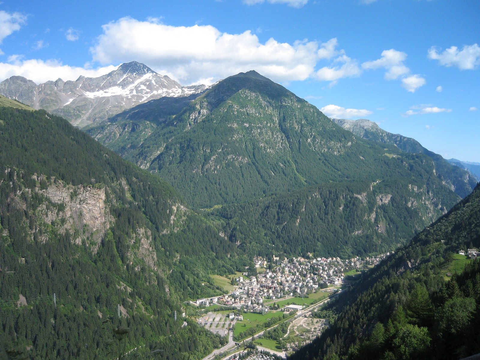
Campodolcino
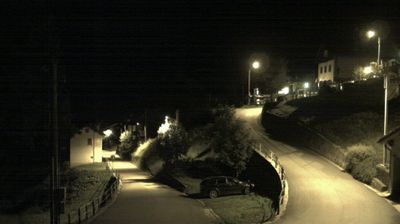
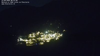
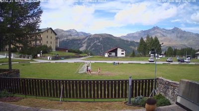
Live webcam
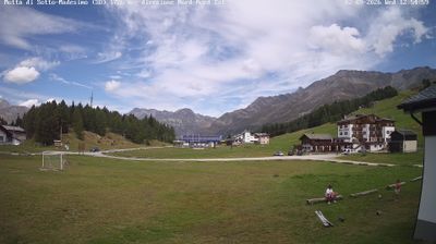
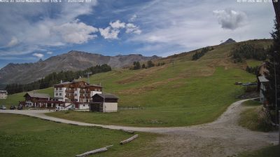
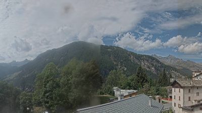
Open liften: 0/10
Sneeuwbericht
- Laatste 24 uur: 0 cm
- Laatste 72 uur: 0 cm
- Laatste 7 dagen: 0 cm
- Laatste 7 dagen: Dal 0cm · Middenstation 0cm · Top 0cm
- Seizoenstotaal: 13.1 cm
Skigebieden nu open · Sneeuwbericht
About Campodolcino
A quiet Valtellina escape where traditional stone architecture meets seamless underground access to the high-altitude Spluga slopes.
Highlights
- Underground mountain access
- Rustic stone architecture
- Traditional Valtellinese cuisine
- Low-key atmosphere
Key Facts
- Altitude: 1539m
- Top lift: 2948m
- Ski pistes: 37km
- Ski lifts: 10
- Population: 559
- Lakes nearby: 38
- MTB trails: 8.3km
- Mountain huts: 16
Ski Area
Weather and 10-day forecast for Campodolcino
- Today: 5 to 10 °C, clear sky, 12 h of sunshine
- Freezing level today: about 3999 m (3580 to 4220 m)
| Day | Min / max | Sky | Precipitation | Sunshine |
|---|---|---|---|---|
| di 22 sep | 5 / 10 °C | clear sky | dry | 12 h sun |
| wo 23 sep | 4 / 12 °C | clear sky | dry | 12 h sun |
| do 24 sep | 2 / 10 °C | clear sky | dry | 7 h sun |
| vr 25 sep | 1 / 11 °C | clear sky | dry | 12 h sun |
| za 26 sep | 5 / 15 °C | clear sky | dry | 12 h sun |
| zo 27 sep | 7 / 13 °C | partly cloudy | dry | 7 h sun |
| ma 28 sep | 7 / 13 °C | partly cloudy | dry | 8 h sun |
| di 29 sep | 5 / 12 °C | drizzle | dry | 8 h sun |
| wo 30 sep | 3 / 13 °C | clear sky | dry | 8 h sun |
| do 1 okt | 3 / 11 °C | drizzle | dry | 2 h sun |
Things to do in Campodolcino
Hikes nearby — Campodolcino (8)
8 curated hiking trails around Campodolcino, sourced from OpenStreetMap and enriched with distance, elevation gain and difficulty.
-
Via Spluga
The Via Spluga follows one of the most important historic communication routes between southern and northern Europe — a path already used by the Romans and throughout the Middle Ages — descending from the 1905-metre Lake Montespluga toward the valley along bridle paths with a remarkably steep gradient. On the Italian side, family-run businesses along the route sell fresh mountain produce from the traditions of Val San Giacomo, a border region where alpine and valley cultures have long intertwined.
-
Percorso C15
-
Ancubona - Alp de Rog
-
Alp de Pian Doss - ?
-
Walserweg - Etappe 9
-
Percorso C4
-
ViaSpluga: Isola (I) - Chiavenna (I)
-
ViaSpluga: Splügen - Isola (I)
Mountain biking near Campodolcino
- Balloon
- Made for fun
- Larici
- Valle delle streghe DH
- Crestino
- Sentiero Valle delle Streghe
- Vecchia Strada Isola - Pianazzo
Getting to Campodolcino
Door-to-door travel times as used by the MR. ALPS ranking.
- Nearest airport: Milano Linate Airport (LIN), 110 km away, about 2h18 by road
- Milano: 2h15 by car, 131 km
- Zürich: 2h35 by car, 195 km
- Brescia: 2h48 by car, 162 km
- Luzern: 2h54 by car, 217 km
- Verona: 3h26 by car, 226 km
- Basel: 3h32 by car, 278 km
Where to stay in Campodolcino
84 places to stay for a night on 2026-09-25, from 96 EUR per night, median 158 EUR. Prices are direct with hotels and destinations, compared live on the Campodolcino page.