Buchenberg – Buching (Halblech)
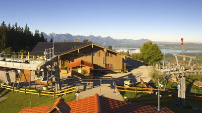
Live webcam


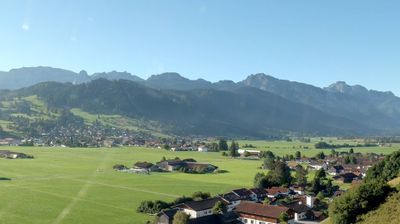
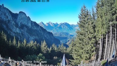

Open liften: 0/1
Sneeuwbericht
- Laatste 24 uur: 0 cm
- Laatste 72 uur: 0 cm
- Laatste 7 dagen: 0 cm
- Laatste 7 dagen: Dal 0cm · Middenstation 0cm · Top 0cm
- Seizoenstotaal: 0 cm
Skigebieden nu open · Sneeuwbericht
About Buchenberg – Buching (Halblech)
A gateway to the Allgäu where traditional Bavarian farming meets paragliding culture beneath the shadow of Neuschwanstein.
Highlights
- Royal castle proximity
- Grass-roots hospitality
- Tandem flight hub
- Pastoral hiking trails
Key Facts
- Altitude: 1136m
- Top lift: 1141m
- Ski pistes: 5km
- Ski lifts: 1
- Population: 3,700
- Lakes nearby: 48
- MTB trails: 101.9km
- Mountain huts: 8
Ski Area
Weather and 10-day forecast for Buchenberg – Buching (Halblech)
- Today: 5 to 14 °C, clear sky, 12 h of sunshine
- Freezing level today: about 3673 m (2520 to 4100 m)
| Day | Min / max | Sky | Precipitation | Sunshine |
|---|---|---|---|---|
| vr 25 sep | 5 / 14 °C | clear sky | dry | 12 h sun |
| za 26 sep | 9 / 20 °C | clear sky | dry | 11 h sun |
| zo 27 sep | 10 / 21 °C | clear sky | dry | 12 h sun |
| ma 28 sep | 12 / 22 °C | clear sky | dry | 10 h sun |
| di 29 sep | 11 / 21 °C | clear sky | dry | 12 h sun |
| wo 30 sep | 10 / 19 °C | overcast | dry | 1 h sun |
| do 1 okt | 10 / 21 °C | clear sky | dry | 11 h sun |
| vr 2 okt | 9 / 16 °C | rain showers | dry | 7 h sun |
| za 3 okt | 8 / 16 °C | clear sky | dry | 11 h sun |
| zo 4 okt | 7 / 17 °C | clear sky | dry | 11 h sun |
Things to do in Buchenberg – Buching (Halblech)
Hikes nearby — Buchenberg – Buching (Halblech) (17)
17 curated hiking trails around Buchenberg – Buching (Halblech), sourced from OpenStreetMap and enriched with distance, elevation gain and difficulty.
-
König-Ludwig-Weg
Walking in the footsteps of King Ludwig II, this long-distance trail crosses the varied landscapes of Upper Bavaria between Berg am Starnberger See and Füssen on the Austrian border. The final stage alone delivers a multitude of views across the foothills of the Alps, ending near the Austrian frontier where Ludwig's fairy-tale castles once rose from the landscape he loved.
-
Schutzengelweg
The Schutzengelweg is a culture path climbing the Tegelberg mountain, leading to the Rohrkopfhütte alpine cabin.
-
Via Alpina Purple A61
Linderhof - Kenzenhütte
-
Via Alpina Purple A62
Kenzenhütte - Füssen
-
Heilige Landschaft Pfaffenwinkel - Westschleife
-
Moorlehrpfad
-
Naturpfad Ahornreitweg
Dit pad volgt de route die rond 1850 werd uitgestippeld door koning Maximilian II, die hem te paard bereed naar zijn jachtlodge op de Tegelberg. Informatieborden op strategische punten langs de weg vertellen de geschiedenis van de bergen en bossen waar het pad doorheen loopt.
-
Bilderbuchwanderung am Forggensee
-
BT 2 Scheinbergspitz
-
Wanderwegenetz Gemeinde Rieden am Forggensee
Wanderwege (meist) ohne Nummerierung
-
Wanderwegenetz Gemeinde Roßhaupten
Wanderwege (meist) ohne Nummerierung
-
5 Roßhauptens schönste Ecken
-
Alpsee-Rundweg
Rund um den Hopfensee
-
BT 5 Große Klammspitz
-
BT 3 Kreuzspitze
-
114, Brettleweg
-
Dürrenbergweg
Mountain biking near Buchenberg – Buching (Halblech)
- Rund um den Trauchberg
- Ahornreitweg
Getting to Buchenberg – Buching (Halblech)
Door-to-door travel times as used by the MR. ALPS ranking.
- Nearest airport: Memmingen Allgau Airport (FMM), 60 km away, about 1h17 by road
- München: 1h39 by car, 109 km
- Innsbruck: 1h55 by car, 122 km
- Stuttgart: 2h41 by car, 237 km
- Nürnberg: 3h11 by car, 242 km
- Zürich: 3h13 by car, 247 km
- Bolzano - Bozen: 3h18 by car, 234 km
Where to stay in Buchenberg – Buching (Halblech)
200 places to stay for a night on 2026-10-02, from 156 EUR per night, median 302 EUR. Prices are direct with hotels and destinations, compared live on the Buchenberg – Buching (Halblech) page.