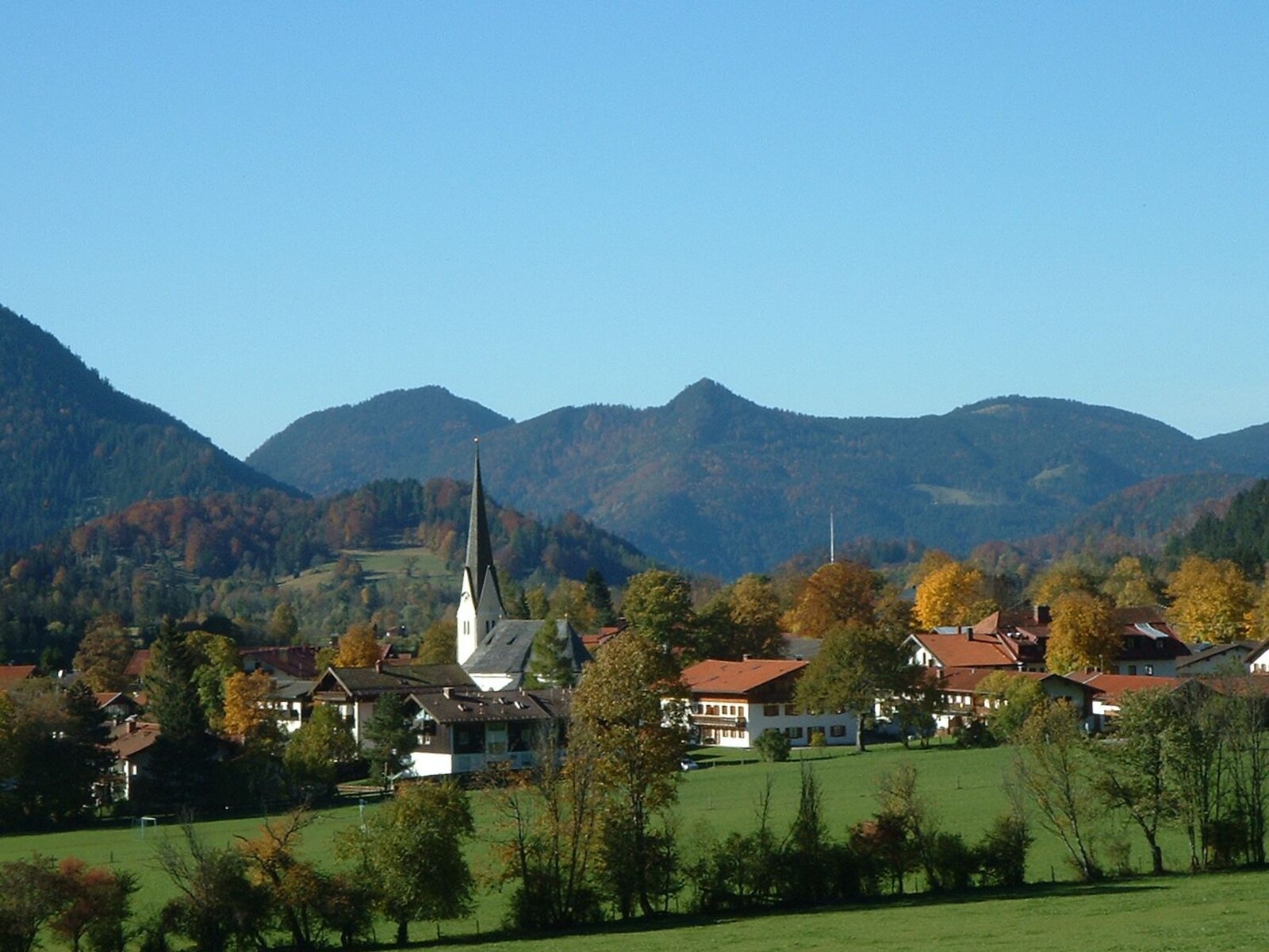
Bayrischzell
Live webcam

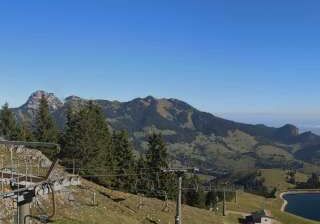
Open liften: 18%
Sneeuwbericht
- Laatste 24 uur: 0 cm
- Laatste 72 uur: 0 cm
- Laatste 7 dagen: 0 cm
- Laatste 7 dagen: Dal 0cm · Middenstation 0cm · Top 0cm
- Seizoenstotaal: 0 cm
Skigebieden nu open · Sneeuwbericht
About Bayrischzell
A quintessential Bavarian retreat where rustic folk traditions and gentle slopes offer a quiet alternative to the high-octane Alpine hubs.
Highlights
- Bavarian folk culture
- Family-friendly terrain
- Traditional timber architecture
- Pristine hiking trails
Key Facts
- Altitude: 1204m
- Top lift: 1563m
- Ski pistes: 31km
- Ski lifts: 13
- Population: 1,691
- Lakes nearby: 22
- MTB trails: 490.5km
- Mountain huts: 21
Ski Area
Inbegrepen in deze seizoenpassen
Weather and 10-day forecast for Bayrischzell
- Today: 3 to 12 °C, clear sky, 13 h of sunshine
- Freezing level today: about 3431 m (2800 to 3590 m)
| Day | Min / max | Sky | Precipitation | Sunshine |
|---|---|---|---|---|
| wo 23 sep | 3 / 12 °C | clear sky | dry | 13 h sun |
| do 24 sep | 5 / 12 °C | overcast | dry | 2 h sun |
| vr 25 sep | 3 / 14 °C | clear sky | dry | 10 h sun |
| za 26 sep | 6 / 18 °C | clear sky | dry | 12 h sun |
| zo 27 sep | 8 / 19 °C | clear sky | dry | 11 h sun |
| ma 28 sep | 10 / 20 °C | clear sky | dry | 11 h sun |
| di 29 sep | 8 / 20 °C | clear sky | dry | 11 h sun |
| wo 30 sep | 8 / 19 °C | clear sky | dry | 9 h sun |
| do 1 okt | 9 / 19 °C | overcast | dry | 2 h sun |
| vr 2 okt | 10 / 16 °C | drizzle | dry | 2 h sun |
Things to do in Bayrischzell
Hikes nearby — Bayrischzell (20)
20+ curated hiking trails around Bayrischzell, sourced from OpenStreetMap and enriched with distance, elevation gain and difficulty.
-
Via Alpina Purple A52
Brünnsteinhaus - Rotwandhaus
-
Weitwanderweg Ursprungweg
This nearly 55-kilometre long-distance trail winds from Wörnsmühl near Fischbachau over the Ursprungpass and on to Thiersee in Austria, passing through meadows, forest, and alongside running water with the mountain world always in view. Along the way, an audio walk — accessible via the free Livi AR app — brings the history of the Ursprungpass to life through two characters, Elli and Theo.
-
Wanderweg 658 - Brünnstein
Tatzelwurm - Rosengasse - Traithenkessel - Feldalmsattel - Nesseltal
-
Wanderweg 645 - Spitzingsee
Von Spitzingsee/Geitau auf die Rotwand
-
Wanderweg 657 - Brünnstein
Het pad klimt door idyllische alpenweiden langs de almen Baumoos, Seeon en Himmelmoos naar het Brünnsteinhaus, waar het panorama zich uitstrekt van het Kaisergebirge tot de Centrale Alpen. Onderweg rijst de bleke Oberrhätkalk-kalksteen van de top — gevormd in een ondiepe warme zee 200 miljoen jaar geleden — als een versteende boegspriet boven een zee van boomtoppen uit, en met een beetje geluk kunt u steenbokken in afzonderlijke kuddes over de hellingen zien zwerven.
-
Wanderweg 596 - Bayrischzell
-
Wanderweg 646a
-
Wanderweg 653 - Brünnstein
Über die hintere Gießenbachklamm zur Himmelmoosalm, Seelacheralm zur Schneelahnerhütte (Nähe Tatzelwurm)
-
Wanderweg 659 - Trainsjoch
The Trainsjoch sits on the border between Bavaria and Austria, its open, free-standing position making it an exceptional viewpoint — particularly toward the south into the Bavarian Alps. The route passes the Mariandlalm at around 1.200 m, an alpine hut with a sunny terrace, before the final approach steepens sharply just below the summit.
-
Wanderweg 652 - Brünnstein
Von Buchau, Wall oder Hocheck über das Brünnsteinhaus auf den Traithen und über Vogelsang nach Bayrischzell
-
Bayrischzeller Höhenweg
The trail winds in serpentines through forest above Bayrischzell before opening onto the sunny meadow hollow of the Neuhüttenalm, where the Ursprungtal drops nearly 500 metres below and the view stretches freely into the Tyrolean mountains. Cows still graze the remaining alms on the Seeberg's flanks, a landscape shaped by centuries of alpine farming — and, briefly, by Bavarian soldiers who kept watch here against Tyrolean Gebirgsschützen between 1806 and 1809.
-
Wanderweg 651 - Brünnstein
Het pad cirkelt rond de Brünnstein — een lichte Oberrhätkalk-kalksteenpiek die een 19e-eeuwse alpinist de mooiste bergvorm in het Beierse Inn-dal noemde — en passeert de almen Baumoos, Seeon en Himmelmoos voordat het de berghut Brünnsteinhaus onder de top bereikt. Met een beetje geluk kunnen wandelaars steenbokken spotten in het omliggende terrein, waar een populatie van twintig tot vijftig dieren leeft die afstamt van vijf Zwitserse individuen die in 1963 werden vrijgelaten.
-
Wanderweg 646 - Spitzingsee
-
Wanderweg 656 - Brünnstein
The route climbs from Oberaudorf through forest and the wild-romantic Brünntal valley to the Brünnsteinhaus, with the Hocheck along the way. The Brünnstein itself — its pale Oberrhätkalk summit described by one 19th-century alpinist as a "mächtige Felsenkrone" rising above a broad green base — rewards walkers with a celebrated view of the Kaiser massif and the chance to spot ibex, first introduced here from Switzerland in 1963.
-
Wanderweg 49 - Kiefersfelden
Mühlau, Brünnstein, Steilenalm, Unterberg-Alm, Oberaudorfer-Alm, Gießenbachtal, Breitenau, Kiefersfelden
-
Wanderweg 655 - Brünnstein
Gießenbach - Rechenau - Buchau - Längau-Alm - Buchau-Alm, Seon-Alm oder Traithenkessel
-
BF4 - Hochgenuss
-
BF11 - Jetzad werds zach
-
BF6 - Über Stock und Stein
-
Audorfer Rundweg
Rundweg um Oberaudorf (Auerburg, Florianiberg, Inndamm, entlang des Auerbachs, Trißlklinik, Hocheck Talstation, Auerburg)
Mountain biking near Bayrischzell
- Zur Lacheralm und zurück
- Zur Walleralm und zurück
- Zur Niederhofer-Alm und zurück
- Kloo-Ascher-Tal
Getting to Bayrischzell
Door-to-door travel times as used by the MR. ALPS ranking.
- Nearest airport: Salzburg Airport (SZG), 73 km away, about 1h18 by road
- München: 1h13 by car, 91 km
- Innsbruck: 1h35 by car, 112 km
- Nürnberg: 2h42 by car, 260 km
- Bolzano - Bozen: 3h01 by car, 227 km
- Stuttgart: 3h25 by car, 325 km
- Trento: 3h31 by car, 283 km
Where to stay in Bayrischzell
125 places to stay for a night on 2026-09-25, from 135 EUR per night, median 353 EUR. Prices are direct with hotels and destinations, compared live on the Bayrischzell page.