Bagolino
Live webcam
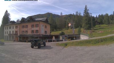
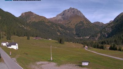
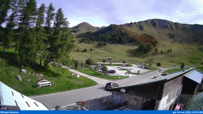
Open liften: 0%
Sneeuwbericht
- Laatste 24 uur: 0 cm
- Laatste 72 uur: 0 cm
- Laatste 7 dagen: 0 cm
- Laatste 7 dagen: Dal 0cm · Middenstation 0cm · Top 0cm
- Seizoenstotaal: 0 cm
Skigebieden nu open · Sneeuwbericht
About Bagolino
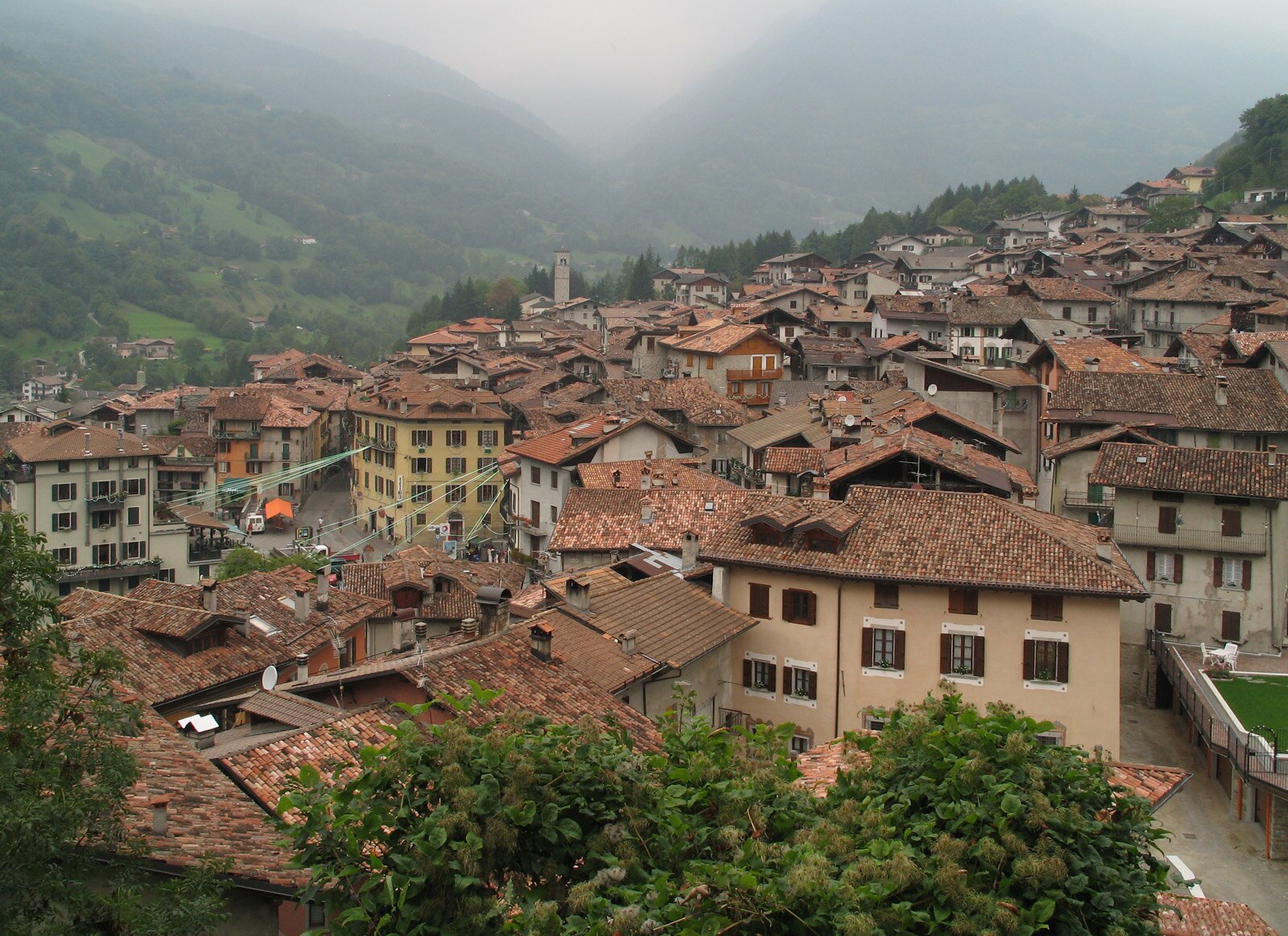
A labyrinthine medieval village where ancient stone houses stack vertically, famous for its pungent Bagòss cheese and masked Carnival.
Highlights
- Aged Bagòss cheese
- Centuries-old Carnival
- Medieval stone architecture
- Narrow vaulted alleys
Key Facts
- Altitude: 758m
- Top lift: 2185m
- Ski pistes: 15km
- Ski lifts: 6
- Population: 1,855
- MTB trails: 75.5km
- Mountain huts: 12
Ski Area
Weather and 10-day forecast for Bagolino
- Today: 7 to 11 °C, partly cloudy, 4 h of sunshine
- Freezing level today: about 3865 m (3640 to 4000 m)
| Day | Min / max | Sky | Precipitation | Sunshine |
|---|---|---|---|---|
| wo 23 sep | 7 / 11 °C | partly cloudy | dry | 4 h sun |
| do 24 sep | 9 / 18 °C | overcast | dry | 1 h sun |
| vr 25 sep | 8 / 13 °C | overcast | dry | 3 h sun |
| za 26 sep | 6 / 13 °C | clear sky | dry | 11 h sun |
| zo 27 sep | 10 / 16 °C | clear sky | dry | 10 h sun |
| ma 28 sep | 12 / 19 °C | clear sky | dry | 9 h sun |
| di 29 sep | 13 / 19 °C | clear sky | dry | 9 h sun |
| wo 30 sep | 10 / 18 °C | clear sky | dry | 10 h sun |
| do 1 okt | 11 / 13 °C | drizzle | dry | 0 h sun |
| vr 2 okt | 6 / 12 °C | drizzle | dry | 11 h sun |
Things to do in Bagolino
Hikes nearby — Bagolino (20)
20+ curated hiking trails around Bagolino, sourced from OpenStreetMap and enriched with distance, elevation gain and difficulty.
-
Ponte Caffaro - Rifugio Stino
-
CamminaForeste - Tappa 3A
-
Alta via dei Forti - Quarta tappa
-
Alta Via del Caffaro - Tappa 4
-
Sentiero 3V - Tappa 4 (Variante alta 2)
-
Alta via dei Forti - Quinta tappa
-
Alta Via del Caffaro - Tappa 1
-
Sentiero 3V - Tappa 4
-
CamminaForeste - Tappa 3B
-
Alta Via del Caffaro - Tappa 3
-
Sentiero dei Laghi - 1 Percorso Bresciano
-
Alta via dei Forti - Terza tappa (3)
-
Anello Valsabbino
This multi-stage loop threads through the pre-alpine villages of Val Sabbia, a valley in the eastern province of Brescia, tracing the mountain ridges that form its crown. The route was laid out by volunteer environmental protectors (GEV) in collaboration with the Club Alpino Italiano's Vestone section, with the explicit aim of making the valley's communities and landscapes accessible to walkers.
-
Bagolino - Giogo del Maniva
-
Alta via dei Forti - Prima tappa
-
Alta Via del Caffaro
-
Sentiero dei minatori
-
Idro (Crone) - Cavacca
-
Bagolino - Monte Carena
-
Bagolino (Ponte di Romanterra) - Forte di Cima Ora
Getting to Bagolino
Door-to-door travel times as used by the MR. ALPS ranking.
- Nearest airport: Verona Villafranca Valerio Catullo Airport (VRN), 58 km away, about 1h53 by road
- Brescia: 1h12 by car, 74 km
- Trento: 1h33 by car, 81 km
- Verona: 1h39 by car, 120 km
- Milano: 2h10 by car, 166 km
- Bolzano - Bozen: 2h12 by car, 137 km
- Padova: 2h21 by car, 196 km
Where to stay in Bagolino
48 places to stay for a night on 2026-09-25, from 69 EUR per night, median 98 EUR. Prices are direct with hotels and destinations, compared live on the Bagolino page.