Baceno
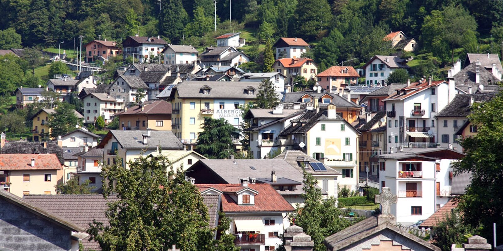
About Baceno
An underrated Ossola gateway known for its monumental stone architecture and ancient thermal waters flowing through the Devero valley.
Highlights
- Romanesque stone artistry
- Natural thermal springs
- High-altitude park access
- Traditional Walser heritage
Key Facts
- Altitude: 1640m
- Top lift: 2240m
- Ski pistes: 8km
- Ski lifts: 3
- Population: 876
- Lakes nearby: 31
- MTB trails: 65.5km
- Mountain huts: 16
Ski Area
Inbegrepen in deze seizoenpassen
Weather and 10-day forecast for Baceno
- Today: 9 to 18 °C, partly cloudy, 6 h of sunshine
- Freezing level today: about 4346 m (4200 to 4580 m)
| Day | Min / max | Sky | Precipitation | Sunshine |
|---|---|---|---|---|
| zo 20 sep | 9 / 18 °C | partly cloudy | dry | 6 h sun |
| ma 21 sep | 10 / 17 °C | overcast | dry | 2 h sun |
| di 22 sep | 9 / 18 °C | clear sky | dry | 12 h sun |
| wo 23 sep | 7 / 16 °C | clear sky | dry | 11 h sun |
| do 24 sep | 9 / 17 °C | partly cloudy | dry | 7 h sun |
| vr 25 sep | 10 / 17 °C | overcast | dry | 1 h sun |
| za 26 sep | 9 / 16 °C | clear sky | dry | 10 h sun |
| zo 27 sep | 7 / 12 °C | overcast | dry | 1 h sun |
| ma 28 sep | 1 / 17 °C | clear sky | dry | 12 h sun |
| di 29 sep | 3 / 16 °C | clear sky | dry | 8 h sun |
Things to do in Baceno
Hikes nearby — Baceno (20)
20+ curated hiking trails around Baceno, sourced from OpenStreetMap and enriched with distance, elevation gain and difficulty.
-
Walserweg Gottardo - Etappe 1
-
H08 - Goglio - Passo di Pojala
First you go up the road, then the long Enel service tunnel, then you go along Lake Agaro, go past a high bastion up to Alpe Pojala and from here high altitude meadows up to the lake of the same name and finally the Pass
-
H00 - Via dell'Arbola da Baceno al Devero (prima sezione)
-
F16 - San Domenico - Monte Cistella
Long but rewarding climb. From the summit of Monte Cistella the view is spectacular at 360 °. Suitable for normal hikers except for a short final stretch under the summit which requires a short climb, there is a chain (2022).
-
F16a - Solcio - Bivacco G. Leoni
-
F50b - Ciamporino - Alpe Solcio
Superb panoramic half mountainside route, along the path of Alta Via Val Divedro, along pastures still loaded for grazing of cattle with refurbished huts for holiday use where the original features have been maintained.
-
F14 - San Domenico - Alpe Coatè
The route takes place on a path alternating with asphalt and tractors
-
F08 - Varzo - Alpe Coatè
-
F10 - Alpe Nava - Alpe Veglia
-
F36b - Gebbo - San Domenico
Mule track from Trasquera to S. Domenico, which crosses the various hamlets
-
G30 - Cagiogno - Aleccio
From Cagiogno, by mule track, to the beautiful Bee mountain pasture from which, by a path that is exposed at times on the hillside, you reach the Aloro mountain pasture. Following a forest road, you reach the equipped area of Piana di Aleccio
-
F36 - Trasquera - Ponte Campo
-
Sentiero delle volpi
-
F38 - Trasquera - Agro Dentro
Steep path up to Agro Outside 1787 m, but always well marked, clear and clean
-
F97 - Bivio F10 - Passo delle Possette
Up to Valle Traccia EE, then dirt track and beautiful trail
-
Walserweg Gottardo: Crampiolo (I) - Rif. Zum Gora
-
Binntal Schaplersee-Weg
-
Alpenpässe-Weg: Rif. Margaroli CAI (I) - _
-
Walserweg Gottardo: Binn - Crampiolo (I)
-
Walserweg Gottardo: Rif. Zum Gora - Rif. Margaroli CAI (I)
Mountain biking near Baceno
- Veia di Scuettar
- Easy Dosso 2500
Getting to Baceno
Door-to-door travel times as used by the MR. ALPS ranking.
- Nearest airport: Milan Malpensa International Airport (MXP), 84 km away, about 1h53 by road
- Milano: 2h13 by car, 157 km
- Torino: 2h44 by car, 209 km
- Brescia: 3h04 by car, 243 km
- Genova: 3h17 by car, 272 km
- Lausanne: 3h26 by car, 232 km
- Luzern: 3h39 by car, 234 km
Where to stay in Baceno
48 places to stay for a night on 2026-09-25, from 106 EUR per night, median 170 EUR. Prices are direct with hotels and destinations, compared live on the Baceno page.