Auron
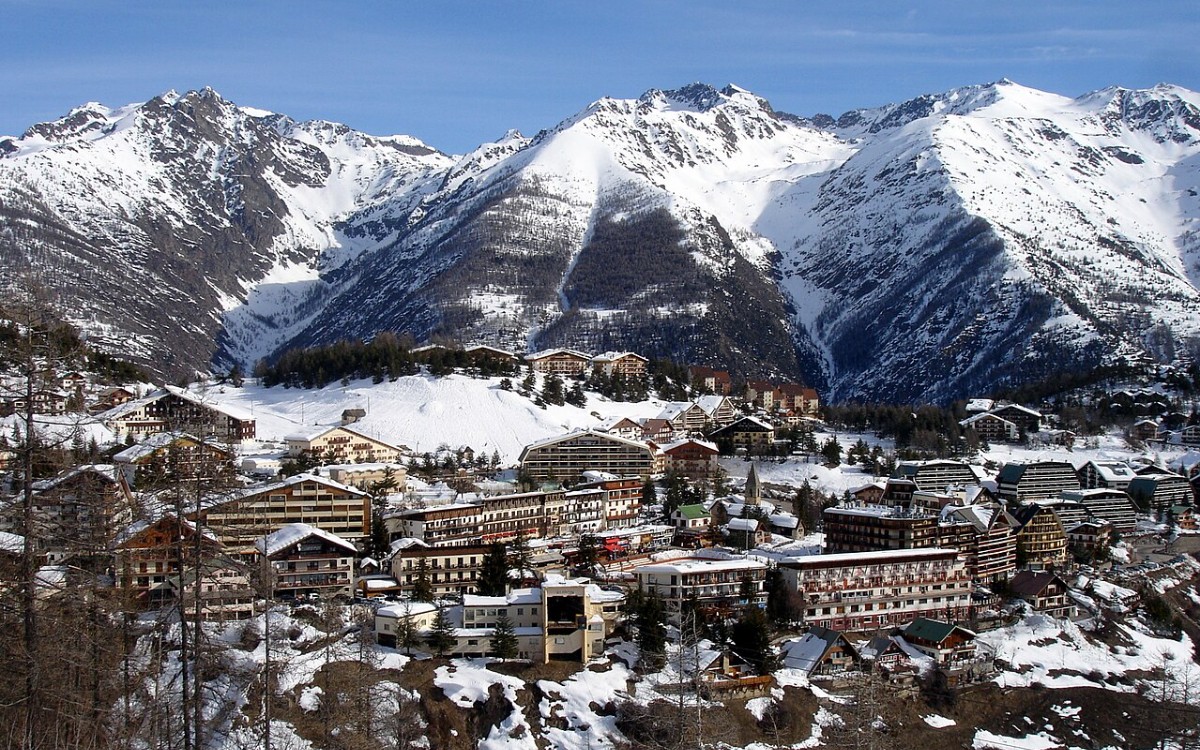
Live webcam
Open liften: 0/16
Sneeuwbericht
- Laatste 24 uur: 0 cm
- Laatste 72 uur: 0 cm
- Laatste 7 dagen: 0 cm
- Laatste 7 dagen: Dal 0cm · Middenstation 0cm · Top 0cm
- Seizoenstotaal: 0 cm
Skigebieden nu open · Sneeuwbericht
About Auron
A sun-drenched Riviera escape where Mediterranean style meets the rugged peaks of the Mercantour for a relaxed, chic atmosphere.
Highlights
- Mediterranean sunshine
- Family-oriented charm
- Riviera proximity
- Mercantour gateway
Key Facts
- Altitude: 1619m
- Top lift: 2450m
- Ski pistes: 135km
- Ski lifts: 16
- Population: 559
- Lakes nearby: 25
- MTB trails: 6.5km
- Mountain huts: 15
Ski Area
Weather and 10-day forecast for Auron
- Today: 9 to 19 °C, clear sky, 11 h of sunshine
- Freezing level today: about 4366 m (4220 to 4690 m)
| Day | Min / max | Sky | Precipitation | Sunshine |
|---|---|---|---|---|
| zo 20 sep | 9 / 19 °C | clear sky | dry | 11 h sun |
| ma 21 sep | 12 / 20 °C | overcast | dry | 4 h sun |
| di 22 sep | 9 / 17 °C | clear sky | dry | 10 h sun |
| wo 23 sep | 7 / 15 °C | clear sky | dry | 9 h sun |
| do 24 sep | 5 / 15 °C | overcast | dry | 3 h sun |
| vr 25 sep | 6 / 15 °C | clear sky | dry | 9 h sun |
| za 26 sep | 6 / 16 °C | clear sky | dry | 9 h sun |
| zo 27 sep | 7 / 18 °C | clear sky | dry | 11 h sun |
| ma 28 sep | 1 / 16 °C | clear sky | dry | 9 h sun |
| di 29 sep | 2 / 16 °C | clear sky | dry | 8 h sun |
Things to do in Auron
Hikes nearby — Auron (20)
20+ curated hiking trails around Auron, sourced from OpenStreetMap and enriched with distance, elevation gain and difficulty.
-
Via Alpina Blue D56
-
Entraunes - Col de Salèse
-
Via Alpina Blue D55
-
Via Alpina Blue D54
Bousiéyas - St-Etienne-de-Tinée
-
Cime de la Bercha
Randoxygène - Haut-Pays - Haute Tinée 1
-
Mont Ténibre - Etape 1
-
Chemin de l'Énergie - Étape 3
-
Circuit de Sélasse
Randoxygène - Haut-Pays - Haute Tinée 1
-
Tour du Mont Férant
Randoxygène - Haut-Pays - Haute Tinée 1
-
Chemin de l'Énergie - Étape 2
-
Mont Ténibre - Etape 2
-
Circuit du Bois d'Anelle
The trail winds through the bucolic Anelle Plateau — its name rooted in the Provençal word for "lamb" — passing alpine barns of larch wood called "butières," sunny irrigated gardens and orchards, and arid sheep pastureland before climbing into the cool upper larch forest on the shaded northern slope of the Anelle peak.
-
Col de Gialorgues
Randoxygène - Haut-Pays - Haute Tinée 1
-
Tête de la Boulière
Randoxygène - Haut-Pays - Haut Var
-
Crête de la Blanche
Randoxygène - Haut-Pays - Haute Tinée 1
-
Traversée du Mercantour
-
Circuit de Sainte-Eurosie
-
Cime de l'Aspre
-
Boucle de Vignols
-
Circuit de Septenne
Mountain biking near Auron
- Blainon Land
- Olympique
- Blainon Forest
- Lago di San Bernolfo - Collalunga
Getting to Auron
Door-to-door travel times as used by the MR. ALPS ranking.
- Nearest airport: Nice-Côte d'Azur Airport (NCE), 67 km away, about 1h38 by road
- Nice: 1h37 by car, 95 km
- Torino: 3h03 by car, 194 km
- Marseille: 3h35 by car, 278 km
- Genova: 3h37 by car, 242 km
- Grenoble: 4h23 by car, 232 km
- Milano: 4h32 by car, 321 km
Where to stay in Auron
12 places to stay for a night on 2026-09-25, from 111 EUR per night, median 280 EUR. Prices are direct with hotels and destinations, compared live on the Auron page.