Arvieux
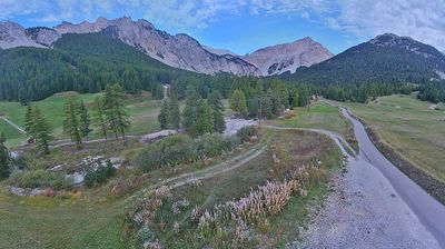
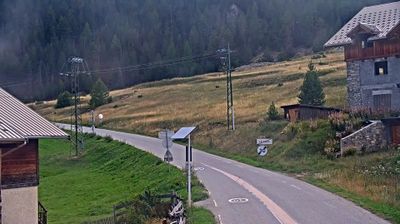
Live webcam
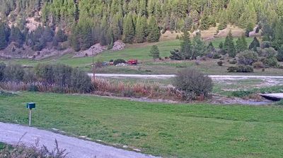
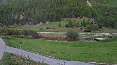
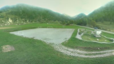
Open liften: 0%
Sneeuwbericht
- Laatste 24 uur: 0 cm
- Laatste 72 uur: 0 cm
- Laatste 7 dagen: 0 cm
- Laatste 7 dagen: Dal 0cm · Middenstation 0cm · Top 0cm
- Seizoenstotaal: 0 cm
Skigebieden nu open · Sneeuwbericht
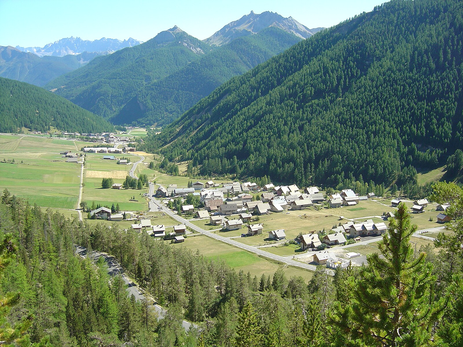
About Arvieux
A rustic Queyras stronghold where time slows down among sun-bleached chalets and legendary road cycling climbs.
Highlights
- Traditional sun-dial architecture
- High-altitude larch forests
- Izoard Pass cycling
- Unspoiled mountain stillness
Key Facts
- Altitude: 1559m
- Top lift: 2200m
- Ski pistes: 18km
- Ski lifts: 6
- Population: 358
- Lakes nearby: 13
- Mountain huts: 7
Ski Area
Weather and 10-day forecast for Arvieux
- Today: 6 to 21 °C, clear sky, 10 h of sunshine
- Freezing level today: about 4348 m (4230 to 4520 m)
| Day | Min / max | Sky | Precipitation | Sunshine |
|---|---|---|---|---|
| zo 20 sep | 6 / 21 °C | clear sky | dry | 10 h sun |
| ma 21 sep | 8 / 21 °C | overcast | dry | 2 h sun |
| di 22 sep | 7 / 19 °C | clear sky | dry | 12 h sun |
| wo 23 sep | 7 / 17 °C | clear sky | dry | 8 h sun |
| do 24 sep | 6 / 18 °C | partly cloudy | dry | 8 h sun |
| vr 25 sep | 6 / 17 °C | clear sky | dry | 12 h sun |
| za 26 sep | 7 / 19 °C | clear sky | dry | 12 h sun |
| zo 27 sep | 7 / 22 °C | clear sky | dry | 12 h sun |
| ma 28 sep | 5 / 22 °C | clear sky | dry | 12 h sun |
| di 29 sep | 5 / 20 °C | clear sky | dry | 11 h sun |
Things to do in Arvieux
Hikes nearby — Arvieux (18)
18 curated hiking trails around Arvieux, sourced from OpenStreetMap and enriched with distance, elevation gain and difficulty.
-
Via Alpina Red R131
Mont-Dauphin (Guillestre) - Refuge de Furfande
-
Via Alpina Red R132
Refuge de Furfande - Ceillac
-
Tour de la Dent de Ratier
This loop circles the western Queyras, deep within the Parc naturel régional du Queyras, and is considered most remarkable in autumn when the light turns clear and the larch trees glow gold.
-
Belvédère du Coin - Brunissard L'Ardouine
-
Lac du Lauzon - Vallon de Combe Bonne
The route follows the torrent of Combe Bonne upstream, crossing to the far bank by footbridge and passing the Cabane de la Gardère, before climbing to Lac du Lauzon at 2283 metres — a high-altitude lake ringed by the Pics du Cros and Balart to the north and the Pics des Esparges Fines and Jaillon to the south.
-
Château-Queyras - Les Arbourets
-
Col de Furfande - Depassé l'Eau
-
La Cuche - ?
-
Les Chabrières - Les Escoyères
-
Le Planet - Pra Premier
-
Lac de Souliers - Ravin des Tegneytes
-
Col de la Lauze - Refuge de Furfande
-
Château-Queyras - Ravin de la Grande Combe
-
Bergerie de Péas - Platenq La Charpenelle
-
Château-Queyras - Lousselar
-
Bramousse - Le Mélèze de Bramousse
-
Boucle du Bourget
-
Sentier d'interprétation du marais du Bourget
Mountain biking near Arvieux
- Route de Furfande
Getting to Arvieux
Door-to-door travel times as used by the MR. ALPS ranking.
- Nearest airport: Turin Airport (TRN), 86 km away, about 2h33 by road
- Torino: 2h26 by car, 140 km
- Grenoble: 2h40 by car, 147 km
- Chambéry: 2h52 by car, 190 km
- Marseille: 3h17 by car, 251 km
- Annecy: 3h25 by car, 237 km
- Genova: 3h41 by car, 239 km
Where to stay in Arvieux
7 places to stay for a night on 2026-09-25, from 124 EUR per night, median 142 EUR. Prices are direct with hotels and destinations, compared live on the Arvieux page.