Argentera
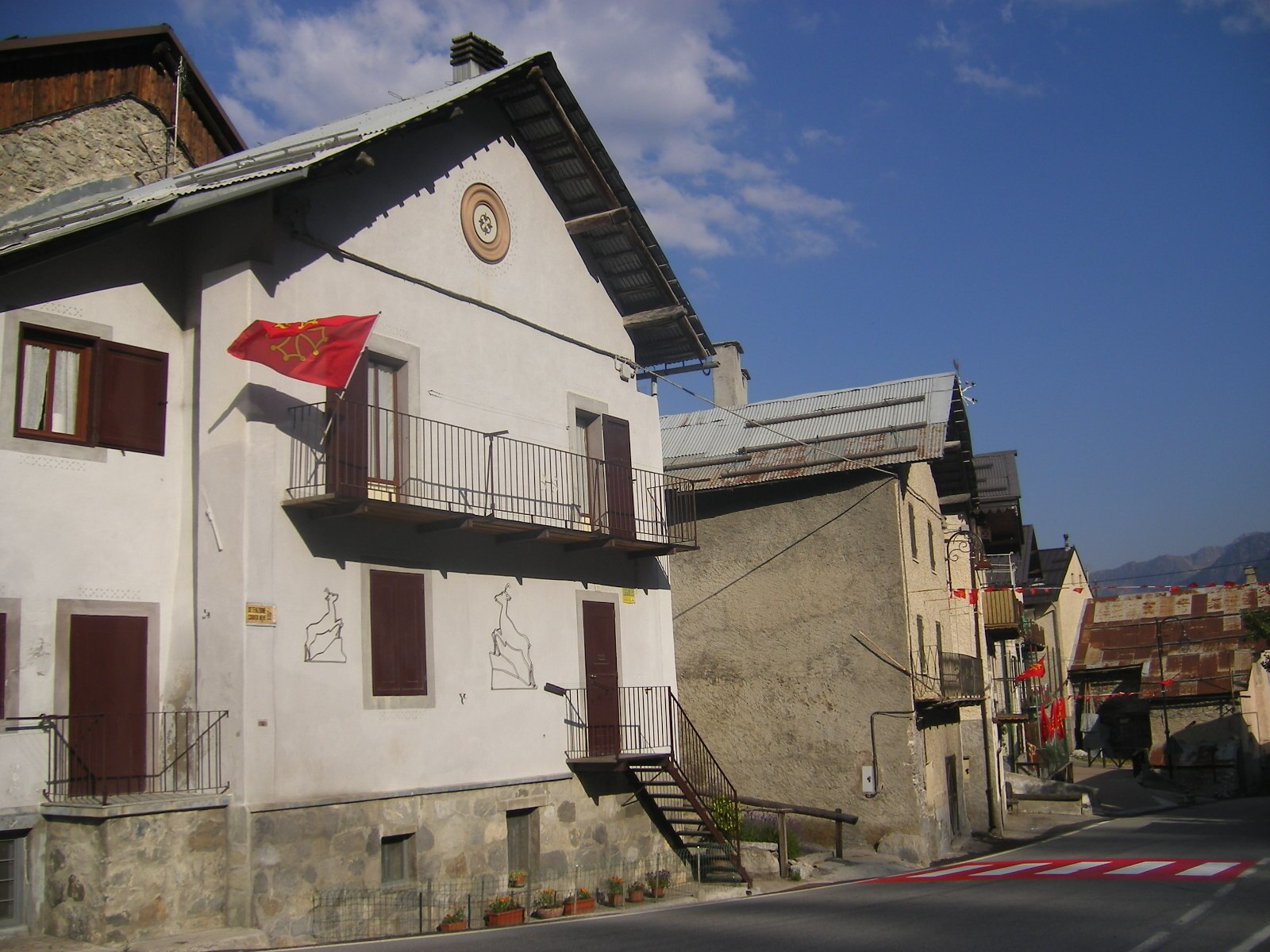
About Argentera
A rugged Maritime Alps outpost where uncrowded slopes and authentic Occitan culture offer a raw alternative to polished resorts.
Highlights
- Untouched powder bowls
- Ancient stone hamlets
- Wild border terrain
- Traditional Occitan spirit
Key Facts
- Altitude: 1630m
- Top lift: 2480m
- Ski pistes: 20km
- Ski lifts: 2
- Population: 77
- Lakes nearby: 30
- MTB trails: 88.8km
- Mountain huts: 16
Ski Area
Weather and 10-day forecast for Argentera
- Today: 6 to 20 °C, clear sky, 9 h of sunshine
- Freezing level today: about 4376 m (4210 to 4730 m)
| Day | Min / max | Sky | Precipitation | Sunshine |
|---|---|---|---|---|
| zo 20 sep | 6 / 20 °C | clear sky | dry | 9 h sun |
| ma 21 sep | 8 / 21 °C | partly cloudy | dry | 6 h sun |
| di 22 sep | 7 / 17 °C | clear sky | dry | 10 h sun |
| wo 23 sep | 9 / 16 °C | clear sky | dry | 9 h sun |
| do 24 sep | 8 / 18 °C | overcast | dry | 3 h sun |
| vr 25 sep | 7 / 19 °C | clear sky | dry | 11 h sun |
| za 26 sep | 6 / 19 °C | clear sky | dry | 9 h sun |
| zo 27 sep | 7 / 18 °C | overcast | dry | 2 h sun |
| ma 28 sep | 5 / 18 °C | clear sky | dry | 12 h sun |
| di 29 sep | 6 / 17 °C | partly cloudy | dry | 4 h sun |
Things to do in Argentera
Hikes nearby — Argentera (17)
17 curated hiking trails around Argentera, sourced from OpenStreetMap and enriched with distance, elevation gain and difficulty.
-
Via Alpina Red R136
Chialvetta - Pontebernardo
-
Via Alpina Blue D53
Larche - Bousiéyas
-
Tour de l'Ubaye
-
Entraunes - Col de Salèse
-
Circuit des 4 Lacs
-
Grand tour du Chambeyron
-
Percorsi - Tappa 10
-
La Frontière Fortifiée
-
Tour du Chambeyron
This multi-day loop departs from the Town Hall of Larche and traces a route concentrated between the Maïra Valley and the Ubayette Valley, crossing the Franco-Italian border along the way. The highest point, Col de Stroppia at 2,865 metres, delivers panoramic views across the Chambeyron–Oronaye massif.
-
Tour du Sautron
-
Tour de l'Oronaye
This multi-day GRP® circuit threads through the transfrontalier massif of Chambeyron–Oronaye, moving primarily between the Vallée Maïra and the Vallée de l'Ubayette, passing the Lac de l'Oronaye along the way. Starting from Larche near the Col de Larche in the Ubaye Valley, the route forms part of a broader network of cross-border itineraries between France and Italy within the Mercantour National Park.
-
Alte Valli - Tappa 04
-
Alte Valli - Tappa 06
-
Via Alpina Blue D54
Bousiéyas - St-Etienne-de-Tinée
-
Tête de l'Enchastraye
Randoxygène - Haut-Pays - Haute Tinée 1
-
Alte Valli
-
Circuit de Tortisse
Getting to Argentera
Door-to-door travel times as used by the MR. ALPS ranking.
- Nearest airport: Turin Airport (TRN), 106 km away, about 2h32 by road
- Torino: 2h16 by car, 158 km
- Nice: 2h34 by car, 142 km
- Genova: 2h50 by car, 206 km
- Marseille: 3h31 by car, 264 km
- Grenoble: 3h36 by car, 206 km
- Milano: 3h45 by car, 285 km
Where to stay in Argentera
9 places to stay for a night on 2026-09-25, from 105 EUR per night, median 105 EUR. Prices are direct with hotels and destinations, compared live on the Argentera page.