Štrba
About Štrba
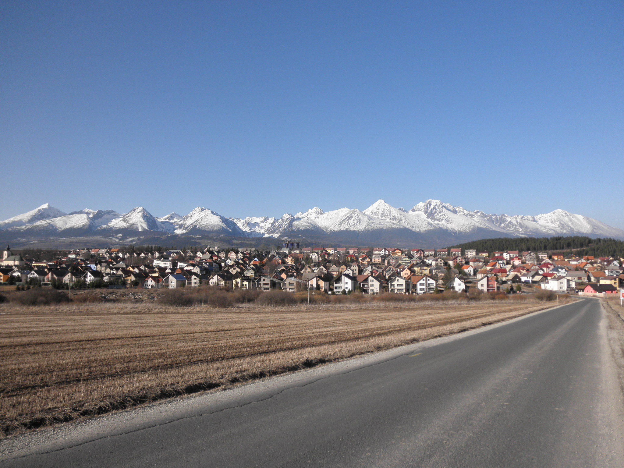
A gateway to the High Tatras where retro-Slovakian charm meets the rugged, granite peaks of Central Europe’s most dramatic range.
Highlights
- Rack railway access
- High Tatra vistas
- Traditional Slovakian guesthouses
- Alpine hiking trails
Key Facts
- Altitude: 1379m
- Top lift: 1497m
- Ski pistes: 0.8km
- Ski lifts: 3
- Lakes nearby: 44
- Mountain huts: 15
Ski Area
Weather and 10-day forecast for Štrba
- Today: 3 to 6 °C, rain, 0 h of sunshine
- Freezing level today: about 1922 m (1790 to 2110 m)
| Day | Min / max | Sky | Precipitation | Sunshine |
|---|---|---|---|---|
| 9月22日(火) | 3 / 6 °C | rain | 17 mm rain | 0 h sun |
| 9月23日(水) | 2 / 8 °C | partly cloudy | 8 mm rain | 8 h sun |
| 9月24日(木) | 2 / 9 °C | rain | 6 mm rain | 3 h sun |
| 9月25日(金) | 2 / 8 °C | drizzle | 1 mm rain | 1 h sun |
| 9月26日(土) | 3 / 10 °C | overcast | dry | 1 h sun |
| 9月27日(日) | 5 / 13 °C | clear sky | dry | 10 h sun |
| 9月28日(月) | 7 / 14 °C | clear sky | dry | 12 h sun |
| 9月29日(火) | 8 / 17 °C | partly cloudy | dry | 11 h sun |
| 9月30日(水) | 7 / 17 °C | mainly clear | dry | 11 h sun |
| 10月1日(木) | 7 / 15 °C | mainly clear | dry | 11 h sun |
Things to do in Štrba
Hikes nearby — Štrba (10)
10 curated hiking trails around Štrba, sourced from OpenStreetMap and enriched with distance, elevation gain and difficulty.
-
Tatranská magistrála
Podbanské - Veľké Biele pleso
-
Via Slovakia (Červený Kláštor - Štrbské pleso)
-
Wyżnie Solnisko - Schronisko PTTK w Dolinie Pięciu Stawów Polskich
-
Wodogrzmoty Mickiewicza - Schronisko PTTK przy Morskim Oku
-
Schronisko PTTK w Dolinie Pięciu Stawów Polskich - Schronisko PTTK przy Morskim Oku
-
Wodogrzmoty Mickiewicza - Rzeżuchy
-
Náučný chodník Rakytovské plieska
-
Chodník lesom medzi plesom a Plesom
-
Kimbiark
-
Tatranská magistrála
Getting to Štrba
Door-to-door travel times as used by the MR. ALPS ranking.
- Nearest airport: Poprad-Tatry Airport (TAT), 15 km away, about 25 min by road
- Wien: 4h32 by car, 399 km
- Graz: 6h27 by car, 567 km
- Berlin: 8h56 by car, 758 km
Where to stay in Štrba
200 places to stay for a night on 2026-09-25, from 89 EUR per night, median 133 EUR. Prices are direct with hotels and destinations, compared live on the Štrba page.