Schnaittach
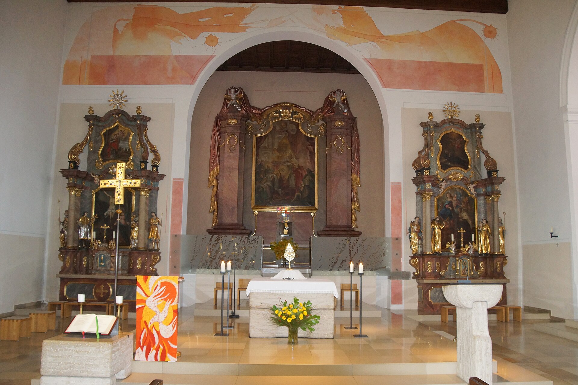
About Schnaittach
A gateway to the Franconian Jura where medieval fortress ruins overlook a landscape of limestone crags and traditional brewing heritage.
Highlights
- Rothenberg fortress ruins
- Franconian hiking trails
- Historic market square
- Traditional local breweries
Key Facts
- Altitude: 398m
- Top lift: 512m
- Ski pistes: 0.6km
- Ski lifts: 2
- Lakes nearby: 18
- MTB trails: 145.2km
Ski Area
Weather and 10-day forecast for Schnaittach
- Today: 14 to 17 °C, rain, 1 h of sunshine
- Freezing level today: about 3473 m (3420 to 3610 m)
| Day | Min / max | Sky | Precipitation | Sunshine |
|---|---|---|---|---|
| 10月2日(金) | 14 / 17 °C | rain | dry | 1 h sun |
| 10月3日(土) | 12 / 21 °C | partly cloudy | dry | 4 h sun |
| 10月4日(日) | 9 / 22 °C | overcast | dry | 2 h sun |
| 10月5日(月) | 12 / 19 °C | overcast | dry | 2 h sun |
| 10月6日(火) | 9 / 22 °C | clear sky | dry | 9 h sun |
| 10月7日(水) | 12 / 17 °C | rain showers | dry | 1 h sun |
| 10月8日(木) | 8 / 12 °C | rain | dry | 0 h sun |
| 10月9日(金) | 6 / 11 °C | overcast | dry | 3 h sun |
| 10月10日(土) | 6 / 13 °C | drizzle | dry | 1 h sun |
| 10月11日(日) | 9 / 14 °C | drizzle | dry | 0 h sun |
Things to do in Schnaittach
Hikes nearby - Schnaittach (6)
6 curated hiking trails around Schnaittach, sourced from OpenStreetMap and enriched with distance, elevation gain and difficulty.
-
4-Jahreszeiten-Rundweg der Landwirtschaft
-
7-Summits-Weg Arzberg
-
Buchbrünnlein-Runde
[LOC 32405] Rundweg: Nordic-Walking-Trail Buchbrünnlein-Runde (rot) Start/Ziel Lauf Schützenstraße
-
Brennerei-Weg Igensdorf
-
7-Summits-Weg Windburg
-
7-Summits-Weg Hohenstein
Schnaittach周辺のマウンテンバイク
- Rothenberg Bike Marathon 2010
- mtb Verbindung Alter Rotenberg
- Kunigunden-Kuhnhof-Trecking
- mtb uphill
- Blue Line
- mtb
- downhill trail
Getting to Schnaittach
Door-to-door travel times as used by the MR. ALPS ranking.
- Nearest airport: Nuremberg Airport (NUE), 21 km away, about 30 min by road
- Nürnberg: 29 min by car, 33 km
- München: 1h53 by car, 181 km
- Stuttgart: 2h27 by car, 228 km
- Frankfurt am Main: 2h29 by car, 254 km
- Mannheim: 2h38 by car, 259 km
- Koblenz: 3h32 by car, 367 km
Where to stay in Schnaittach
48 places to stay for a night on 2026-10-02, from 80 EUR per night, median 142 EUR. Prices are direct with hotels and destinations, compared live on the Schnaittach page.