Wiesen – Gruob
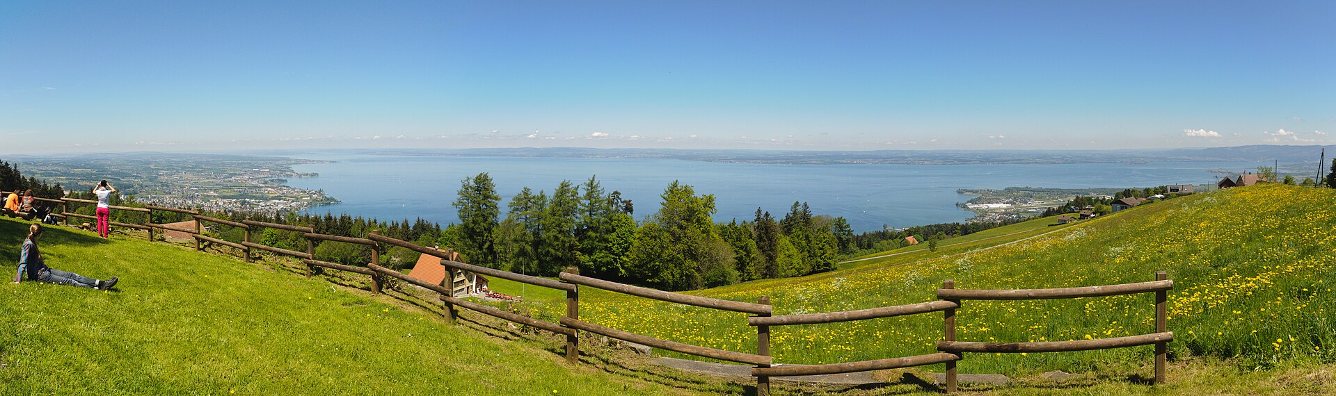
ライブカメラ
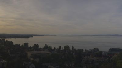
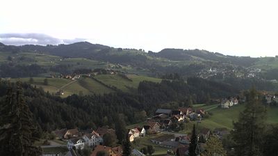
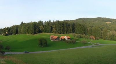
営業中のリフト: 0%
積雪情報
- 過去24時間: 0 cm
- 過去72時間: 0 cm
- 過去7日間: 0 cm
- 過去7日間: 山麓 0cm · 中腹 0cm · 山頂 0cm
- シーズン累計: 0 cm
About Wiesen – Gruob
A tranquil sun-trap above the Landwasser, where Davos’s high-altitude energy softens into slow-paced Grisons heritage.
Highlights
- Historic stone architecture
- Panoramic valley views
- Quiet mountain seclusion
- Sun-drenched terrace living
Key Facts
- Altitude: 807m
- Top lift: 1403m
- Ski pistes: 1km
- Ski lifts: 1
- Population: 1,018
- Lakes nearby: 25
- MTB trails: 173.1km
- Mountain huts: 2
Ski Area
Weather and 10-day forecast for Wiesen – Gruob
- Today: 8 to 14 °C, overcast, 1 h of sunshine
- Freezing level today: about 3636 m (3300 to 3930 m)
| Day | Min / max | Sky | Precipitation | Sunshine |
|---|---|---|---|---|
| 9月21日(月) | 8 / 14 °C | overcast | dry | 1 h sun |
| 9月22日(火) | 6 / 13 °C | clear sky | dry | 12 h sun |
| 9月23日(水) | 5 / 15 °C | partly cloudy | dry | 7 h sun |
| 9月24日(木) | 8 / 14 °C | partly cloudy | dry | 5 h sun |
| 9月25日(金) | 5 / 15 °C | clear sky | dry | 12 h sun |
| 9月26日(土) | 6 / 21 °C | partly cloudy | dry | 6 h sun |
| 9月27日(日) | 8 / 21 °C | partly cloudy | dry | 5 h sun |
| 9月28日(月) | 8 / 21 °C | clear sky | dry | 12 h sun |
| 9月29日(火) | 12 / 20 °C | clear sky | dry | 12 h sun |
| 9月30日(水) | 11 / 19 °C | clear sky | dry | 12 h sun |
Things to do in Wiesen – Gruob
Hikes nearby — Wiesen – Gruob (20)
20+ curated hiking trails around Wiesen – Gruob, sourced from OpenStreetMap and enriched with distance, elevation gain and difficulty.
-
Kaien-St.-Anton-Weg
Rolling green hills on the Appenzell borderland give way to sweeping views over the Bodensee, with the Alps rising behind it and the horizon stretching as far as Vorarlberg and the Allgäu. Information panels along the route explain the medicinal plants and herbs growing in the flower-filled meadows that line the way.
-
Alpenpanorama-Weg
-
Bodensee- Rundwanderweg (Abschnitt Lindau - Kreuzlingen)
-
ViaJacobi
-
Kulturspur Appenzellerland
NONE (提供された抜粋は、Urnäsch/RehetobelとWalzenhausenの間のAppenzell Ausserhodenを通るKulturspur Appenzellerlandトレイルを説明するものであり、GraubündenのWiesen–Gruobのトレイルではありません。指定された場所に一致するトレイルに関する情報を含む抜粋はありません。)
-
Gesundheitsweg
-
Heiden-Rehetobel
-
Chindlistei Weg
-
Witzweg
The trail runs from Heiden through Wolfhalden to Walzenhausen, where more than 70 signs deliver the famous Appenzeller joke — a tradition listed among Switzerland's living cultural heritage — with audio stations along the way letting you hear the jokes read aloud. The route dips into forest high above the Klusbachtal gorge, passes a monkey enclosure near Klus, and looks out over the Bodensee toward southern Germany.
-
Rehtobel-Trogen
-
Alte Konstanzerstrasse
-
St. Galler Panoramaweg
-
Alpenpanorama-Weg
-
Bodenseeweg
-
Rund um Speicher
-
Alpenpanorama-Weg: Rorschach Hafen - Trogen Landsgemeindeplatz
-
Kulturspur Appenzellerland: Trogen - Heiden Kirchplatz
-
Kulturspur Appenzellerland: Heiden Kirchplatz - Walzenhausen
-
Rheintaler Höhenweg: Rorschach Bahnhof - Berneck
-
Rheintaler Höhenweg: Berneck - Altstätten Stadt
Mountain biking near Wiesen – Gruob
- Appenzeller Vorderland-Route
- Panorama Bike - Etappe 1
- Appenzeller Mittelland-Route
- St. Anton Downhill
- Kaien-Route
- Schellerstrasse
- Gern
- Feggstrasse
Getting to Wiesen – Gruob
Door-to-door travel times as used by the MR. ALPS ranking.
- Nearest airport: Sankt Gallen Altenrhein Airport (ACH), 6 km away, about 16 min by road
- Zürich: 1h14 by car, 97 km
- Luzern: 1h54 by car, 149 km
- Basel: 2h08 by car, 177 km
- München: 2h29 by car, 215 km
- Biel/Bienne: 2h33 by car, 214 km
- Bern: 2h34 by car, 216 km
Where to stay in Wiesen – Gruob
104 places to stay for a night on 2026-09-25, from 144 EUR per night, median 276 EUR. Prices are direct with hotels and destinations, compared live on the Wiesen – Gruob page.