Viševnik na Pokljuki
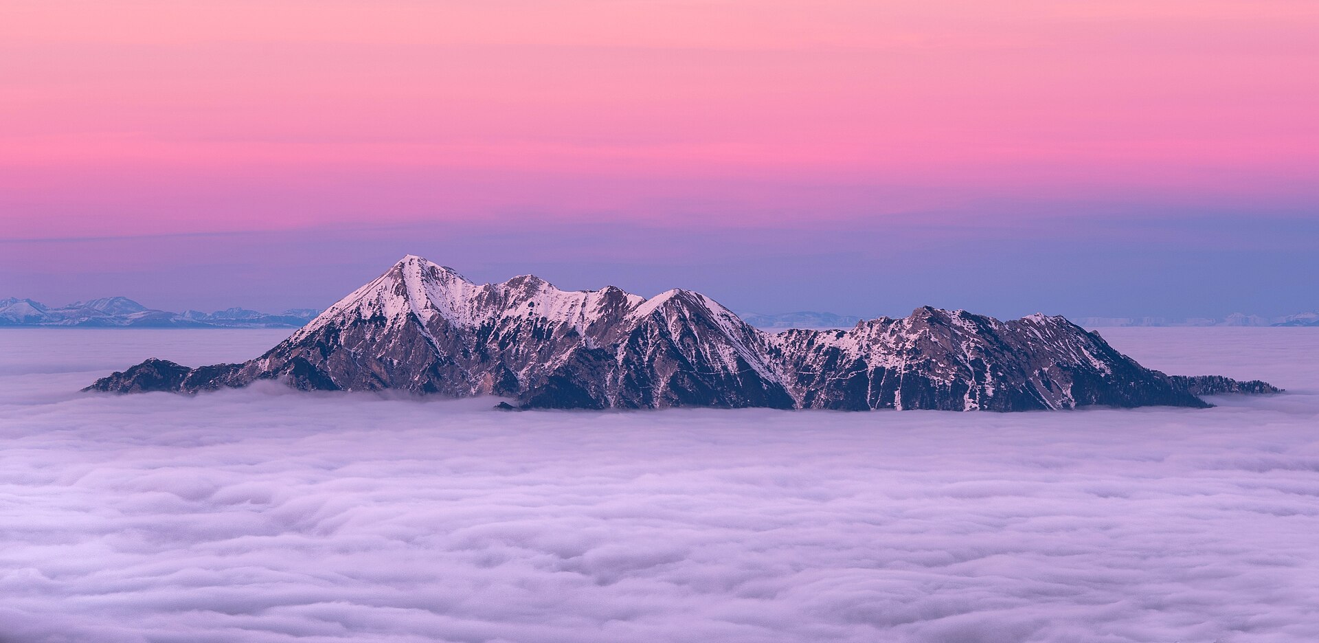
About Viševnik na Pokljuki
A gateway to the Julian Alps where wild spruce forests meet high-altitude silence and the raw spirit of Triglav.
Highlights
- Pristine plateau forests
- Backcountry ski routes
- Traditional mountain huts
- Untamed alpine vistas
Key Facts
- Altitude: 1094m
- Top lift: 1575m
- Ski pistes: 1km
- Ski lifts: 2
- Lakes nearby: 6
- MTB trails: 141.6km
- Mountain huts: 23
Ski Area
Weather and 10-day forecast for Viševnik na Pokljuki
- Today: 5 to 11 °C, clear sky, 11 h of sunshine
- Freezing level today: about 2345 m (2180 to 2680 m)
| Day | Min / max | Sky | Precipitation | Sunshine |
|---|---|---|---|---|
| 9月22日(火) | 5 / 11 °C | clear sky | dry | 11 h sun |
| 9月23日(水) | 3 / 10 °C | clear sky | dry | 10 h sun |
| 9月24日(木) | 6 / 12 °C | thunderstorm | dry | 2 h sun |
| 9月25日(金) | 6 / 14 °C | partly cloudy | dry | 5 h sun |
| 9月26日(土) | 7 / 16 °C | clear sky | dry | 11 h sun |
| 9月27日(日) | 10 / 18 °C | clear sky | dry | 11 h sun |
| 9月28日(月) | 10 / 19 °C | clear sky | dry | 11 h sun |
| 9月29日(火) | 10 / 19 °C | clear sky | dry | 12 h sun |
| 9月30日(水) | 10 / 20 °C | clear sky | dry | 7 h sun |
| 10月1日(木) | 10 / 18 °C | clear sky | dry | 11 h sun |
Things to do in Viševnik na Pokljuki
Hikes nearby — Viševnik na Pokljuki (18)
18 curated hiking trails around Viševnik na Pokljuki, sourced from OpenStreetMap and enriched with distance, elevation gain and difficulty.
-
Juliana Trail
-
Blejska Dobrava-Zg. Radovna-Mojstrana
Hst. Blejska Dobrava-Vintgarschlucht-Vintgar-nordwestl.Sp. Gorje-Višelnica-südl. Sv. Miklauž-Grabče-nördl. Krnica-Sp. Radovna-Kreda-Srednja Radovna-Gogalov rovt, Gogala-Zg. Radovna-Kosmačev preval-Slov. planinski muzej-Mojstrana/Hostel Lukn’a
-
Vintgar - Bled
The path to Straža's 646 m summit winds through spruce, oak, linden, and birch before opening onto what the sources call the finest viewpoint in Bled — a panorama sweeping across the entire lake, Bled Castle, the Jelovica plateau, and Mount Stol. Along the way, a fitness promenade threads through meadows and forest on the southern shore of the lake.
-
Zaka - Šport hotel Pokljuka
-
Pokljuška soteska
Pokljuška soteska is Slovenia's largest fossil gorge — a dry, limestone canyon nearly 2 km long and up to 50 m deep, carved by glacial rivers some 10,000 years ago. Steep walls punctuated by natural bridges, cavities, ferns, saxifrages, and bellflowers line the route, which passes through man-made galleries including the 35 m-long "King Andrew Galleries" built in 1930.
-
Krnica - Pl. Kranjska dolina
-
Blejski razgledni trail
-
Učna pot Mrzli studenec
-
Pl. Pokljuka - Pl. Klek - Blejska koča
-
Selo - Kupljenik
The route passes through Kupljenik, a small, elongated village of original architectural buildings and a Church of St. Stephen dating from the early 16th century, before rewarding walkers with views over Lake Bled, the surrounding hills, and the hilltop of Straža — described as the finest vantage point on the lake's southeastern shore, taking in the castle, the Jelovica plateau, and Mount Stol.
-
JK10
Fernwanderweg Südalpen-Umrundung ab April 2019, 720 km, 45 000 Hm, 270 Std. Gehzeit – Alpine Vereine: Kärnten, Slovenija und Friuli-Venezia Giulia – siehe im Internet: Julius-Kugy-Dreiländerweg in 30 Etappen – Berge der Freundschaft
-
JK09
Fernwanderweg Südalpen-Umrundung ab April 2019, 720 km, 45 000 Hm, 270 Std. Gehzeit – Alpine Vereine: Kärnten, Slovenija und Friuli-Venezia Giulia – siehe im Internet: Julius-Kugy-Dreiländerweg in 30 Etappen – Berge der Freundschaft
-
Juliana Trail - stage 2: Mojstrana - Jesenice
-
Kugy-Dreiländerweg E 10A
Mojstrana-Kosmačev preval-Zgornja Radovna-westl. Srednja Radovna-Stresena dolina-nordöstl. Pl. Pekel-westl. Meji vrh-westl. Pl. Meja dolina-östl. Velika raven-Pl. Javornik-nordwestl. Petkovec-Sp. Razor-Rudno polje-Španove jame-nordwestl. Pl. Praprotnica-P
-
Pot kralja Triglava
-
Blejska koča - Viševnik
-
Bohinjska Bistrica - Soriška pl.
-
Bitenjska pl. - Ratitovec
Mountain biking near Viševnik na Pokljuki
- Trans Karavanke
- Pot na Mirco
- Foreplay
Getting to Viševnik na Pokljuki
Door-to-door travel times as used by the MR. ALPS ranking.
- Nearest airport: Ljubljana Jože Pučnik Airport (LJU), 36 km away, about 58 min by road
- Graz: 3h08 by car, 219 km
- Padova: 3h59 by car, 328 km
- München: 4h32 by car, 367 km
- Verona: 4h47 by car, 409 km
- Bolzano - Bozen: 4h49 by car, 307 km
- Wien: 4h56 by car, 374 km
Where to stay in Viševnik na Pokljuki
200 places to stay for a night on 2026-09-18, from 186 EUR per night, median 343 EUR. Prices are direct with hotels and destinations, compared live on the Viševnik na Pokljuki page.