Valtournenche
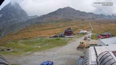
ライブカメラ



営業中のリフト: 0/20
積雪情報
- 過去24時間: 0 cm
- 過去72時間: 0 cm
- 過去7日間: 0 cm
- 過去7日間: 山麓 0cm · 中腹 0cm · 山頂 0cm
- シーズン累計: 0.1 cm
About Valtournenche
A historic Aosta Valley village at 1,500m serving as the quieter, authentic entry point to the Matterhorn-Cervino Paradise area. During the shoulder season, the 2,300m vertical drop remains accessible via the Aosta Valley pass with fewer crowds on the 322km of connected pistes.
Highlights
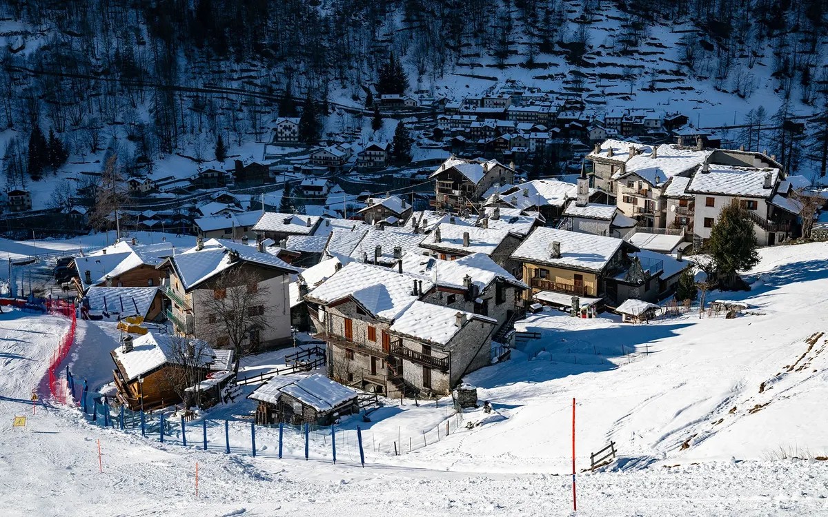
- Rustic stone architecture
- Italian mountain soul
- Cross-border ski links
- Generous pasta lunches
Key Facts
- Altitude: 1500m
- Top lift: 3097m
- Ski pistes: 322km
- Ski lifts: 51
- Population: 2,178
- 4000m+ peaks nearby: 21
- Lakes nearby: 31
- MTB trails: 89.3km
- Mountain huts: 28
Ski Area
Matterhorn-Cervino Paradise – Zermatt/Breuil-Cervinia/Valtournenche
この目的地が含まれるシーズンパス
Weather and 10-day forecast for Valtournenche
- Today: 6 to 15 °C, clear sky, 9 h of sunshine
- Freezing level today: about 4178 m (3920 to 4520 m)
| Day | Min / max | Sky | Precipitation | Sunshine |
|---|---|---|---|---|
| 9月23日(水) | 6 / 15 °C | clear sky | dry | 9 h sun |
| 9月24日(木) | 8 / 16 °C | partly cloudy | dry | 6 h sun |
| 9月25日(金) | 8 / 14 °C | partly cloudy | dry | 3 h sun |
| 9月26日(土) | 9 / 15 °C | clear sky | dry | 12 h sun |
| 9月27日(日) | 8 / 15 °C | clear sky | dry | 11 h sun |
| 9月28日(月) | 8 / 16 °C | clear sky | dry | 10 h sun |
| 9月29日(火) | 10 / 16 °C | clear sky | dry | 12 h sun |
| 9月30日(水) | 7 / 15 °C | clear sky | dry | 10 h sun |
| 10月1日(木) | 6 / 9 °C | rain showers | dry | 0 h sun |
| 10月2日(金) | -1 / 5 °C | snow showers | dry | 1 h sun |
Things to do in Valtournenche
Hikes nearby — Valtournenche (19)
19 curated hiking trails around Valtournenche, sourced from OpenStreetMap and enriched with distance, elevation gain and difficulty.
-
Gran Balconata del Cervino - Stage 3
-
Gran Balconata del Cervino - Stage 2
-
Gran Balconata del Cervino - Stage 5
This stage of the Gran Balconata del Cervino (Trail 107) carries walkers from Antey-Saint-André — with its 15th-century bell tower — to Torgnon, a village known for its rural history and immense pastures, along ancient paths that once connected all the communities of the Valtournenche valley. The Matterhorn's unmistakable profile accompanies every step, framed by larch forests, alpine pastures, and natural terraces.
-
Gran Balconata del Cervino - Stage 4
-
Alta Via n. 1 della Valle d'Aosta - Tappa 9
Tappa n. 9 - Valtournenche (1520 mt.) - Rifugio Barmasse (2157 mt.)
-
Alta Via n. 1 della Valle d'Aosta - Tappa 8
L'Alta via della Valle d'Aosta n. 1, detta anche Alta via dei Giganti è un'alta via il cui tracciato parte e termina nel territorio della Valle d'Aosta, ma si sviluppa in parte anche nel Biellese, al cospetto dei massicci più elevati delle Alpi: Monte Rosa, Cervino e Monte Bianco.
-
Alta Via n. 1 della Valle d'Aosta - Tappa 10
Tappa n. 10 - Rifugio Barmasse (2.157 mt.) - Rifugio Cunéy (2652 mt.)
-
Accesso Bivacco Manenti
-
Grand Tournalin
This out-and-back route climbs to the Grand Tournalin Punta Nord at 3,379 m, rated one of the best peaks in the valley for views and hiking history, passing through an unspoiled mountain environment with varied alpine scenery.
-
Sentier de l'Abbé Gorret
-
Itinerario 6 Ru des Novalles
The Ru des Novalles is a still-active irrigation channel traced along a panoramic route that looks down over the village of Chamois and the surrounding landscape. Along the way, illustrated panels recount the history and nature of these *rus* — small masterworks of hydraulic engineering unique to the Aosta Valley.
-
Itinerario 5 Bivacco Rivolta
-
Sentier Jean Antoine Carrel
-
Tour Monte Rosa tappa 2
around the Monte Rosa group
-
Alta Via n. 1 della Valle d'Aosta - Tappa 7
Tappa n. 7 - Rifugio Vieux Crest (1935 mt.) - Rifugio Gran Tournalin (2535 mt.)
-
Anello di Tzere
-
Anello dei Villaggi di Antey ( Ruvère, Liesse,Fontaney, Villettaz)
-
Itinerario 12 Praz Rifugio Cuney
-
Itinerario 11C
Mountain biking near Valtournenche
- Ciclovia del Cervino
- Strada Chamois - La-Magdeleine
- Strada Chamois La Magdeleine
Getting to Valtournenche
Door-to-door travel times as used by the MR. ALPS ranking.
- Nearest airport: Turin Airport (TRN), 77 km away, about 1h32 by road
- Torino: 1h34 by car, 112 km
- Milano: 2h17 by car, 180 km
- Genève: 2h34 by car, 181 km
- Annecy: 2h44 by car, 193 km
- Genova: 2h50 by car, 239 km
- Lausanne: 3h by car, 193 km
Where to stay in Valtournenche
200 places to stay for a night on 2026-09-25, from 129 EUR per night, median 155 EUR. Prices are direct with hotels and destinations, compared live on the Valtournenche page.