Val d'Oronaye – Larche
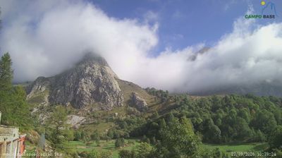
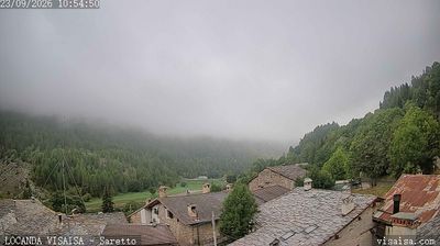
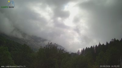
ライブカメラ


積雪情報
- 過去24時間: 0 cm
- 過去72時間: 0 cm
- 過去7日間: 0 cm
- 過去7日間: 山麓 0cm · 中腹 0cm · 山頂 0cm
- シーズン累計: 0 cm
About Val d'Oronaye – Larche
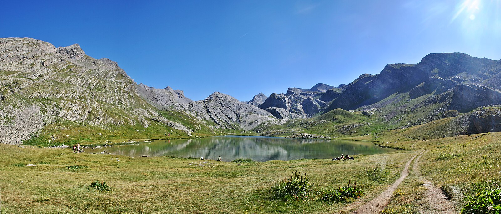
A quiet, cross-country sanctuary where the wild Mercantour spirit meets the slow-paced simplicity of a remote mountain border outpost.
Highlights
- Pristine Nordic trails
- Italian border proximity
- Untamed wilderness
- Authentic stone hamlets
Key Facts
- Altitude: 1700m
- Top lift: 1854m
- Ski pistes: 1.5km
- Ski lifts: 2
- Population: 117
- Lakes nearby: 24
- MTB trails: 138.5km
- Mountain huts: 9
Ski Area
Weather and 10-day forecast for Val d'Oronaye – Larche
- Today: 10 to 17 °C, clear sky, 10 h of sunshine
- Freezing level today: about 4448 m (4290 to 4620 m)
| Day | Min / max | Sky | Precipitation | Sunshine |
|---|---|---|---|---|
| 9月23日(水) | 10 / 17 °C | clear sky | dry | 10 h sun |
| 9月24日(木) | 8 / 20 °C | overcast | dry | 4 h sun |
| 9月25日(金) | 10 / 21 °C | clear sky | dry | 11 h sun |
| 9月26日(土) | 8 / 21 °C | clear sky | dry | 12 h sun |
| 9月27日(日) | 10 / 22 °C | clear sky | dry | 12 h sun |
| 9月28日(月) | 10 / 20 °C | clear sky | dry | 8 h sun |
| 9月29日(火) | 10 / 20 °C | clear sky | dry | 12 h sun |
| 9月30日(水) | 8 / 16 °C | drizzle | dry | 1 h sun |
| 10月1日(木) | 6 / 19 °C | drizzle | dry | 1 h sun |
| 10月2日(金) | 9 / 16 °C | drizzle | dry | 1 h sun |
Things to do in Val d'Oronaye – Larche
Hikes nearby — Val d'Oronaye – Larche (16)
16 curated hiking trails around Val d'Oronaye – Larche, sourced from OpenStreetMap and enriched with distance, elevation gain and difficulty.
-
Via Alpina Blue D52
Chiappera - Larche
-
Via Alpina Blue D53
Larche - Bousiéyas
-
La Frontière Fortifiée
-
Tour du Chambeyron
This multi-day loop departs from the Town Hall of Larche and traces a route concentrated between the Maïra Valley and the Ubayette Valley, crossing the Franco-Italian border along the way. The highest point, Col de Stroppia at 2,865 metres, delivers panoramic views across the Chambeyron–Oronaye massif.
-
Circuit des 4 Lacs
-
Tour du Soubeyran
The Tour du Soubeyran is a transfrontier route threading through the high-altitude valley of the Montagnette, crossing the Col des Monges — the border between France and Italy — before descending to the glacial lakes of Apsoi and Visaisa in Piedmont. Along the way, it follows the Riou de Rochouse through alpine pastures scattered with lakes, ultimately reaching the village of Chiappera in Italy.
-
Tour de l'Oronaye
This multi-day GRP® circuit threads through the transfrontalier massif of Chambeyron–Oronaye, moving primarily between the Vallée Maïra and the Vallée de l'Ubayette, passing the Lac de l'Oronaye along the way. Starting from Larche near the Col de Larche in the Ubaye Valley, the route forms part of a broader network of cross-border itineraries between France and Italy within the Mercantour National Park.
-
Petit Tour du Chambeyron
This three-day loop crosses the Chambeyron–Oronaye massif between France and Italy, climbing from the village of Meyronnes through the Vallonnet valley, past a mountain hut, and over the Col du Vallonnet before descending through the Plate Lombarde valley via the Pas de la Couletta to reach the Chambeyron Refuge. Described as less frequented but extremely beautiful, the route passes wetlands, mountain pastures, and high alpine lakes marked by cairns.
-
Grand tour du Chambeyron
-
Tour du Sautron
-
Sentiero Roberto Cavallero
The Sentiero Roberto Cavallero is marked with red and blue blazes and traverses high, exposed terrain including a steep, loose-scree couloir equipped with fixed chains — anchors that one hiker noted deserve respect and careful inspection. The route passes through named waypoints including the Forcellina (2800 m) and Il Passetto (2681 m) before reaching Colle Sautron (2685 m), threading across broad boulder fields on long mid-slope traverses above the Valle Stroppia.
-
Via Alpina Red R135
Chiappera - Chialvetta
-
Via Alpina Red R134
Maljasset - Chiappera
-
Percorsi - Tappa 9
-
Percorsi - connessione Acceglio
-
Alte Valli
Mountain biking near Val d'Oronaye – Larche
- Le Col de Mallemort
- Larche - Le Pont Rouge
- Meyronnes - Batterie de Roche la Croix
Getting to Val d'Oronaye – Larche
Door-to-door travel times as used by the MR. ALPS ranking.
- Nearest airport: Cuneo International Airport (CUF), 63 km away, about 1h39 by road
- Torino: 2h28 by car, 171 km
- Nice: 2h46 by car, 155 km
- Genova: 3h02 by car, 219 km
- Marseille: 3h18 by car, 252 km
- Grenoble: 3h24 by car, 194 km
- Chambéry: 3h37 by car, 238 km