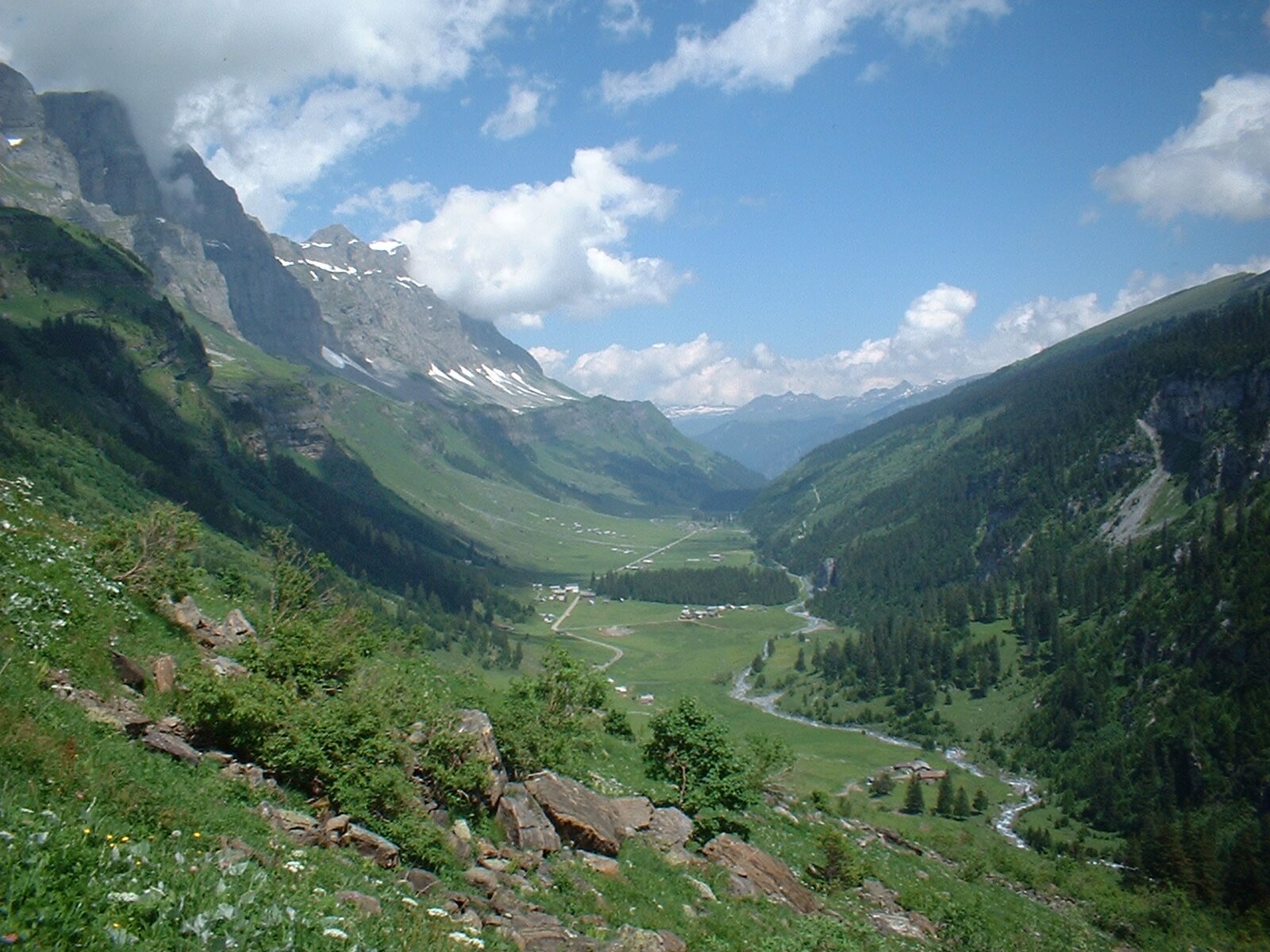
Urnerboden
ライブカメラ

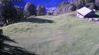
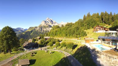
営業中のリフト: 0%
積雪情報
- 過去24時間: 0 cm
- 過去72時間: 0 cm
- 過去7日間: 0 cm
- 過去7日間: 山麓 0cm · 中腹 0cm · 山頂 0cm
- シーズン累計: 0.9 cm
About Urnerboden
A vast, high-altitude meadow where timeless dairy traditions meet the rugged silence of Switzerland's largest alpine pasture.
Highlights
- Alpine cheese dairies
- Sprawling plateau landscapes
- Klausen Pass gateway
- Rustic farm stays
Key Facts
- Altitude: 1375m
- Top lift: 1420m
- Ski lifts: 1
- Population: 40
- Lakes nearby: 18
- MTB trails: 137km
- Mountain huts: 21
Ski Area
Weather and 10-day forecast for Urnerboden
- Today: 9 to 15 °C, overcast, 4 h of sunshine
- Freezing level today: about 3590 m (3140 to 3910 m)
| Day | Min / max | Sky | Precipitation | Sunshine |
|---|---|---|---|---|
| 9月24日(木) | 9 / 15 °C | overcast | dry | 4 h sun |
| 9月25日(金) | 6 / 17 °C | clear sky | dry | 10 h sun |
| 9月26日(土) | 10 / 19 °C | clear sky | dry | 12 h sun |
| 9月27日(日) | 12 / 20 °C | clear sky | dry | 12 h sun |
| 9月28日(月) | 13 / 21 °C | clear sky | dry | 11 h sun |
| 9月29日(火) | 14 / 24 °C | clear sky | dry | 12 h sun |
| 9月30日(水) | 15 / 24 °C | partly cloudy | dry | 7 h sun |
| 10月1日(木) | 12 / 21 °C | clear sky | dry | 11 h sun |
| 10月2日(金) | 9 / 13 °C | drizzle | dry | 1 h sun |
| 10月3日(土) | 7 / 14 °C | drizzle | dry | 0 h sun |
Things to do in Urnerboden
Hikes nearby — Urnerboden (20)
20+ curated hiking trails around Urnerboden, sourced from OpenStreetMap and enriched with distance, elevation gain and difficulty.
-
Via Glaralpina
-
Via Alpina
This segment departs Urnerboden westward along an old pass route, threading through the canton of Uri as part of the broader Via Alpina — a long-distance trail crossing 14 Alpine passes between Vaduz and Montreux.
-
Via Alpina
This segment departs Urnerboden westward along an old pass route, threading through the canton of Uri as part of the broader Via Alpina — a long-distance trail crossing 14 Alpine passes between Vaduz and Montreux. The terrain demands sure-footedness and, at times, a head for heights.
-
Via Glaralpina
-
Via Glaralpina
-
Via Glaralpina
-
Clariden Höhenweg
The trail traverses scree-covered terrain above Switzerland's largest cow pasture, the Urnerboden, passing a small glacier lake at the foot of the Clariden's north face and the eerie "Tyyfelsfriedhof" (devil's cemetery) rock formation. Along the way, the sound of sheep bells drifts up from the pasture below.
-
Naturkundlicher Höhenweg Schächental
-
ViaSuworow
-
ViaSuworow
-
Urwaldspur
-
Karstspur Silberen
-
Via Glaralpina
-
Via Glaralpina
-
Via Glaralpina
-
Clariden-Höhenweg
-
Via Alpina: Linthal - _VZ Urnerboden
-
Urwaldweg Bödmeren
-
Braunwald Panoramaweg
-
Via Alpina: _VZ Urnerboden - Altdorf Tellspielhaus
Mountain biking near Urnerboden
- Chinzig Bike
- Bächi Bike
- Urnerboden Bike
- Brunnital Bike
Getting to Urnerboden
Door-to-door travel times as used by the MR. ALPS ranking.
- Nearest airport: Zürich Airport (ZRH), 69 km away, about 1h47 by road
- Luzern: 1h13 by car, 77 km
- Zürich: 1h30 by car, 101 km
- Basel: 2h16 by car, 171 km
- Biel/Bienne: 2h26 by car, 184 km
- Bern: 2h27 by car, 186 km
- Milano: 3h10 by car, 236 km
Where to stay in Urnerboden
21 places to stay for a night on 2026-09-25, from 1218 EUR per night, median 1220 EUR. Prices are direct with hotels and destinations, compared live on the Urnerboden page.