Trachselwald
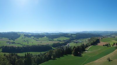
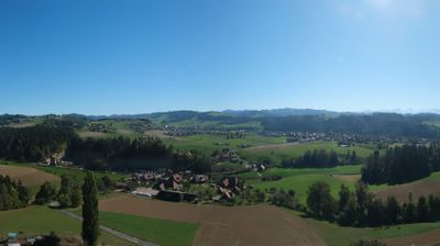
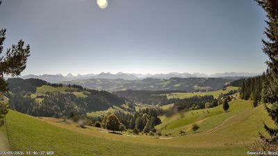
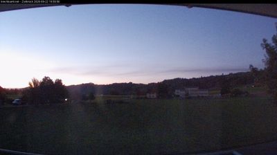
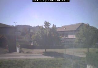
ライブカメラ

営業中のリフト: 0%
積雪情報
- 過去24時間: 0 cm
- 過去72時間: 0 cm
- 過去7日間: 0 cm
- 過去7日間: 山麓 0cm · 中腹 0cm · 山頂 0cm
- シーズン累計: 0 cm
About Trachselwald
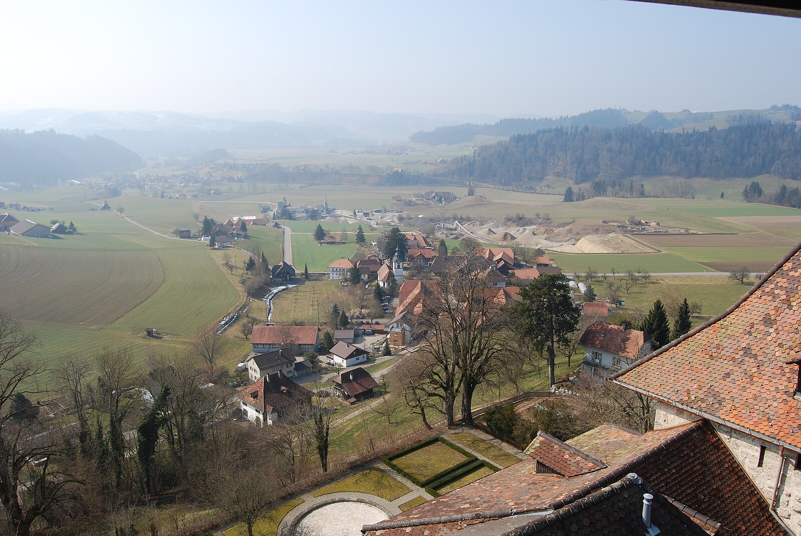
A quiet Emmental gem defined by its hilltop fortress, where time slows down amidst rolling hills and traditional farmhouse architecture.
Highlights
- Medieval hilltop castle
- Traditional Emmental farmhouses
- Rolling green pastures
- Quiet rural retreat
Key Facts
- Altitude: 685m
- Top lift: 715m
- Ski pistes: 1km
- Ski lifts: 1
- Population: 916
- MTB trails: 177.5km
- Mountain huts: 1
Ski Area
Weather and 10-day forecast for Trachselwald
- Today: 7 to 20 °C, clear sky, 12 h of sunshine
- Freezing level today: about 3917 m (3720 to 4190 m)
| Day | Min / max | Sky | Precipitation | Sunshine |
|---|---|---|---|---|
| 9月23日(水) | 7 / 20 °C | clear sky | dry | 12 h sun |
| 9月24日(木) | 11 / 21 °C | overcast | dry | 1 h sun |
| 9月25日(金) | 9 / 21 °C | clear sky | dry | 9 h sun |
| 9月26日(土) | 11 / 24 °C | clear sky | dry | 12 h sun |
| 9月27日(日) | 12 / 25 °C | clear sky | dry | 11 h sun |
| 9月28日(月) | 15 / 26 °C | clear sky | dry | 12 h sun |
| 9月29日(火) | 11 / 27 °C | clear sky | dry | 12 h sun |
| 9月30日(水) | 10 / 25 °C | clear sky | dry | 11 h sun |
| 10月1日(木) | 11 / 17 °C | drizzle | dry | 1 h sun |
| 10月2日(金) | 9 / 11 °C | rain showers | dry | 0 h sun |
Things to do in Trachselwald
Hikes nearby — Trachselwald (20)
20+ curated hiking trails around Trachselwald, sourced from OpenStreetMap and enriched with distance, elevation gain and difficulty.
-
ViaJacobi
-
Unter Tannen - Schoneeg Dräjerhüsli
-
Sumiswald - Flüewald
-
Dürrenroth - Oberwald
-
Affoltern Weier - Oberwald Schaber
-
Haretegg - Sänggli
-
Sparenegg - Zueguet
-
Sparenegg - Tal
-
Dürrenroth - Guggli
-
Vorderarni- Chuttelbad
-
Dürrenroth - Unter Tannen
-
Sumiswald - Affoltern / Weier
-
Heimisbach Sternen - Vorderholz
-
Hinderarni - Vorder Arni
-
Bettler - Eriswil Hinterdorf
The trail climbs steadily from the village of Eriswil through dense forest, passing the Alp Bettler on its way up to an observation platform on the Ahorn, then follows the Grenzpfad Napfbergland ridge north of the Hornbachgraben to Oberi Lushütte. Along the way, idyllic farmhouses and sweeping views over the rolling, green hill country of the Emmental punctuate the route.
-
Wyssachen - Dürrenroth
-
Gärbihof - Unter Waltringen
-
Grenzpfad Napfbergland: Huttwil - Napf
-
ViaJacobi: Huttwil - Burgdorf
-
Alpenpanorama-Weg: Napf - Lüderenalp
Mountain biking near Trachselwald
- Napf Bike - Etappe 2
- Langnau-Lüderenalp-Loop
- rcn Langnau-Lüderen-Wolfis-Bärau
- Lüdere Bike
- Hinterarni - Tour
- MTB Hochänzi
Getting to Trachselwald
Door-to-door travel times as used by the MR. ALPS ranking.
- Nearest airport: Bern Airport (BRN), 27 km away, about 57 min by road
- Bern: 54 min by car, 38 km
- Luzern: 1h02 by car, 58 km
- Biel/Bienne: 1h07 by car, 61 km
- Basel: 1h22 by car, 91 km
- Zürich: 1h31 by car, 101 km
- Lausanne: 2h03 by car, 142 km
Where to stay in Trachselwald
26 places to stay for a night on 2026-09-25, from 236 EUR per night, median 320 EUR. Prices are direct with hotels and destinations, compared live on the Trachselwald page.