Torgnon
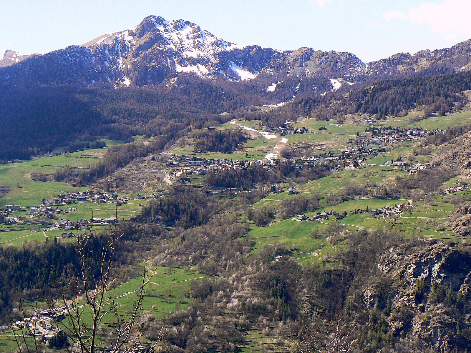
ライブカメラ
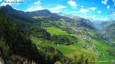
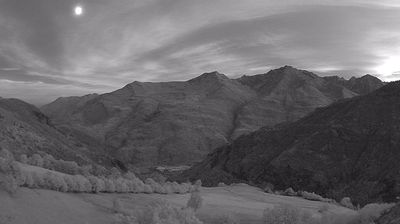
営業中のリフト: 0%
積雪情報
- 過去24時間: 0 cm
- 過去72時間: 0 cm
- 過去7日間: 0 cm
- 過去7日間: 山麓 0cm · 中腹 0cm · 山頂 0cm
- シーズン累計: 0 cm
About Torgnon
Known as the village of the sun, this family-oriented retreat offers a slower pace with vast horizons and gentle, pine-lined trails.
Highlights
- Sun-drenched plateaus
- Family-friendly atmosphere
- Larch forest trails
- Matterhorn views
Key Facts
- Altitude: 1534m
- Top lift: 2246m
- Ski pistes: 20km
- Ski lifts: 5
- Population: 557
- 4000m+ peaks nearby: 1
- Lakes nearby: 18
- MTB trails: 65.2km
- Mountain huts: 12
Ski Area
この目的地が含まれるシーズンパス
Weather and 10-day forecast for Torgnon
- Today: 12 to 19 °C, overcast, 2 h of sunshine
- Freezing level today: about 4271 m (4020 to 4640 m)
| Day | Min / max | Sky | Precipitation | Sunshine |
|---|---|---|---|---|
| 9月21日(月) | 12 / 19 °C | overcast | dry | 2 h sun |
| 9月22日(火) | 9 / 16 °C | clear sky | dry | 12 h sun |
| 9月23日(水) | 8 / 16 °C | partly cloudy | dry | 8 h sun |
| 9月24日(木) | 9 / 18 °C | clear sky | dry | 12 h sun |
| 9月25日(金) | 7 / 16 °C | partly cloudy | dry | 4 h sun |
| 9月26日(土) | 6 / 19 °C | clear sky | dry | 12 h sun |
| 9月27日(日) | 5 / 16 °C | overcast | dry | 1 h sun |
| 9月28日(月) | 5 / 18 °C | clear sky | dry | 12 h sun |
| 9月29日(火) | 5 / 19 °C | clear sky | dry | 11 h sun |
| 9月30日(水) | 6 / 17 °C | overcast | dry | 2 h sun |
Things to do in Torgnon
Hikes nearby — Torgnon (20)
20+ curated hiking trails around Torgnon, sourced from OpenStreetMap and enriched with distance, elevation gain and difficulty.
-
Gran Balconata del Cervino - Stage 1
Stage 1 of the Gran Balconata del Cervino (trail 107) threads through larch forests, alpine pastures, and ancient community paths past La Magdeleine's old mills, a wooden fountain built by the Aosta Valley forestry service, and the Alpe Copetou — where the Matterhorn's unmistakable profile opens into full view. The route continues through the valley of Sacerou, crosses the Chamois stream, and arrives at the hamlet of Corgnolaz, tracing the same ridgeline tracks that once connected these mountain communities since earliest times.
-
Gran Balconata del Cervino - Stage 2
-
Gran Balconata del Cervino - Stage 5
This stage of the Gran Balconata del Cervino (Trail 107) carries walkers from Antey-Saint-André — with its 15th-century bell tower — to Torgnon, a village known for its rural history and immense pastures, along ancient paths that once connected all the communities of the Valtournenche valley. The Matterhorn's unmistakable profile accompanies every step, framed by larch forests, alpine pastures, and natural terraces.
-
Cammino Balteo (Bassa Via della Valle d'Aosta), Tappa 8
Sentiero escursionistico ad anello, che permette di percorrere il territorio valdostano a quote medio-basse durante buona parte dell'anno. Lunghezza complessiva di 370 km fra i 500 e i 1900 metri s.l.m.
-
Cammino Balteo (Bassa Via della Valle d'Aosta), Tappa 7
Sentiero escursionistico ad anello, che permette di percorrere il territorio valdostano a quote medio-basse durante buona parte dell'anno. Lunghezza complessiva di 370 km fra i 500 e i 1900 metri s.l.m.
-
Gran Balconata del Cervino - Stage 6
-
itinerario 13 Torgnon Colle di San Pantaleone
-
Anello dei Villaggi di Antey ( Ruvère, Liesse,Fontaney, Villettaz)
-
Itinerario 5 Villettaz Berzin Chessin
-
Itinerario 12 Liex Challien
-
Tour de Saint-Evence
A loop trail threading the wooded ridge between Saint-Denis and Torgnon, it visits two votive chapels — San Pantaleone and Saint Evence — before delivering, at the San Pantaleone viewpoint, a sweeping panorama of the Valtournenche that stretches from the Matterhorn all the way to Monte Zerbion.
-
rif.Magià
-
Sentiero Chesod Perteille
-
Tour des Alpages de Torgnon
A mountain-bike loop threading through the alpine pastures above Torgnon, passing through larch forests and traditional rural farmland, with a pause at Gilliarey rewarding riders with views of the Matterhorn, the Plateau Rosa glacier, and the Breithorn, as well as the valley of Valtournenche below.
-
Itinerario 14 Santuario di Champlaisant
-
Ru de Chandianaz
-
Ru de Verdetta
-
Itinerario 1/4
-
Il Sentiero magico - Chambave-Fénis-Saint-Marcel
-
Accesso Bivacco Manenti
Mountain biking near Torgnon
- Ciclovia Becca d'Aver
- Ciclovia del Cervino
- Strada Chamois - La-Magdeleine
- Sentiero Chatillon Promiod
- Strada Chamois La Magdeleine
Getting to Torgnon
Door-to-door travel times as used by the MR. ALPS ranking.
- Nearest airport: Turin Airport (TRN), 67 km away, about 1h23 by road
- Torino: 1h30 by car, 106 km
- Milano: 2h13 by car, 174 km
- Genève: 2h30 by car, 176 km
- Annecy: 2h40 by car, 188 km
- Genova: 2h46 by car, 234 km
- Lausanne: 2h56 by car, 187 km
Where to stay in Torgnon
200 places to stay for a night on 2026-09-25, from 90 EUR per night, median 171 EUR. Prices are direct with hotels and destinations, compared live on the Torgnon page.