Telli – Morschach
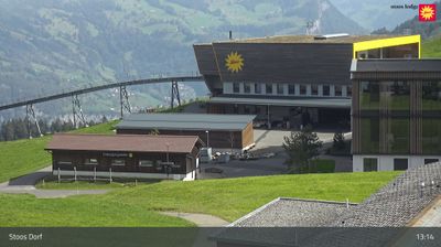
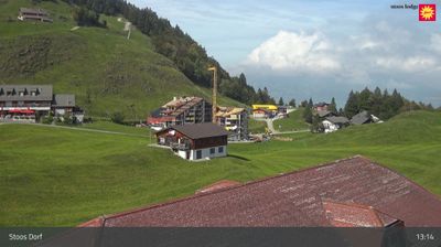
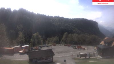
ライブカメラ
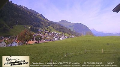
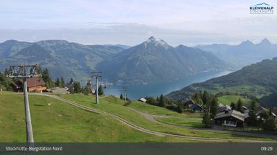
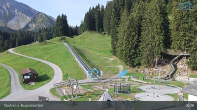
営業中のリフト: 0%
積雪情報
- 過去24時間: 0 cm
- 過去72時間: 0 cm
- 過去7日間: 0 cm
- 過去7日間: 山麓 0cm · 中腹 0cm · 山頂 0cm
- シーズン累計: 0 cm
About Telli – Morschach
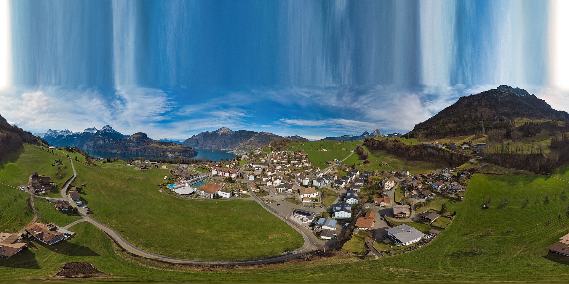
A secluded balcony over Lake Lucerne, where families trade crowded slopes for quiet forest trails and panoramic wellness retreats.
Highlights
- Lake Lucerne vistas
- Family-oriented atmosphere
- Cliffs-edge positioning
- Alpine wellness culture
Key Facts
- Altitude: 643m
- Top lift: 676m
- Ski lifts: 2
- Population: 1,151
- Lakes nearby: 8
- MTB trails: 283.1km
- Mountain huts: 12
Ski Area
Weather and 10-day forecast for Telli – Morschach
- Today: 9 to 20 °C, clear sky, 12 h of sunshine
- Freezing level today: about 3795 m (3560 to 4010 m)
| Day | Min / max | Sky | Precipitation | Sunshine |
|---|---|---|---|---|
| 9月23日(水) | 9 / 20 °C | clear sky | dry | 12 h sun |
| 9月24日(木) | 13 / 21 °C | overcast | dry | 3 h sun |
| 9月25日(金) | 10 / 20 °C | clear sky | dry | 12 h sun |
| 9月26日(土) | 12 / 23 °C | clear sky | dry | 12 h sun |
| 9月27日(日) | 13 / 24 °C | clear sky | dry | 12 h sun |
| 9月28日(月) | 17 / 25 °C | clear sky | dry | 9 h sun |
| 9月29日(火) | 19 / 25 °C | clear sky | dry | 12 h sun |
| 9月30日(水) | 18 / 24 °C | partly cloudy | dry | 8 h sun |
| 10月1日(木) | 16 / 22 °C | partly cloudy | dry | 4 h sun |
| 10月2日(金) | 14 / 24 °C | drizzle | dry | 6 h sun |
Things to do in Telli – Morschach
Hikes nearby — Telli – Morschach (20)
20+ curated hiking trails around Telli – Morschach, sourced from OpenStreetMap and enriched with distance, elevation gain and difficulty.
-
Waldstätterweg - Etappe 1
1. Etappe des Waldstätterwegs
-
Waldstätterweg - Etappe 7
7. Etappe des Waldstätterwegs
-
Weg der Schweiz
Created in 1991 to mark the 700th anniversary of the Swiss Confederation, the Weg der Schweiz traces the shore of the Vierwaldstättersee (Lake Lucerne) to the idyllic Rütliwiese on the Urnersee, passing the Tellskapelle along dramatic cliff faces where the old Axenstrasse once ran. The route ends at Morschach, a high-plateau village of chapels and panoramic views over the Schwyz valley and the Mythen peaks.
-
ViaJacobi
From the historic village square in Stans — marked by the Winkelried fountain and a century-old funicular railway — the route climbs to open views over Stanser Boden, the Vierwaldstättersee, and the Innerschweiz peaks, before arriving at the hermitage of Niklaus von Flüe and the Ranft chapels.
-
Trans Swiss Trail
-
Trans Swiss Trail
-
Weg der Schweiz
Weg der Schweiz ist der Name der Wanderroute 99 entlang des Urnersees. Der Weg wurde 1991 zur 700-Jahr-Feier der Schweiz angelegt. Der Weg beginnt am Rütli und endet in Brunnen, ist 35 km lang und wurde von sämtlichen Schweizer Kantonen gestaltet. Jedem der Kantone wurde ein durch Grenzsteine markierter Wegabschnitt anvertraut, wobei sich dessen Länge nach der Anzahl seiner Einwohner mit 5 Millime
-
Weg der Schweiz
The ridge walk runs from Klingenstock to Fronalpstock, with the Schwyzer peaks, Urner summits, and Glarner spires competing for your attention across the panorama. One section of the narrow mountain path is secured, and the route delivers sweeping views over the Vierwaldstättersee far below.
-
Schilti - Morschach
-
Mettlen - Charenstöckli
-
Binzenegg - Schilti
-
Morschach - Stoss
-
Stoos - Fronalpstock
-
Stoos - Obere Frontalhütte
-
Gratweg Stoos
岩壁に刻まれ鎖で固定された尾根道がKlingenstockとFronalpstockを結んでおり、高所に動じない安定した頭が求められる。道中、右手には二つのMythen峰がそびえ立ち、左手にはRiemenstalden渓谷とLake Uriが広がる。
-
Weg der Schweiz: Sisikon - Brunnen Schifflände
-
Weg der Schweiz: Rütli - Bauen
-
Pragelpass-Weg: Schwyz Hauptplatz - Schachen Nord
-
Waldstätterweg: Beckenried - Rütli
-
Weg der Schweiz: Flüelen Bahnhof - Sisikon
Mountain biking near Telli – Morschach
- Fronalp Tour
- Rigi Tour
- Schwyzer Tour
- Höch Flue
- Brunnen Tour
- Stoos Tour
- Hoch-Ybrig Bike
Getting to Telli – Morschach
Door-to-door travel times as used by the MR. ALPS ranking.
- Nearest airport: Zürich Airport (ZRH), 53 km away, about 1h02 by road
- Luzern: 38 min by car, 50 km
- Zürich: 49 min by car, 65 km
- Basel: 1h36 by car, 138 km
- Biel/Bienne: 1h46 by car, 151 km
- Bern: 1h47 by car, 153 km
- Milano: 2h49 by car, 219 km
Where to stay in Telli – Morschach
89 places to stay for a night on 2026-09-25, from 147 EUR per night, median 429 EUR. Prices are direct with hotels and destinations, compared live on the Telli – Morschach page.