Steg im Tösstal
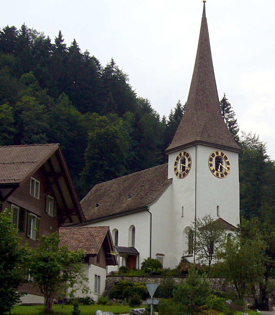
About Steg im Tösstal
A rustic weekend escape for Zurich locals seeking foggy woodland trails and the nostalgic simplicity of a pre-resort era.
Highlights
- Mist-shrouded forests
- River-side hiking
- Zürich day-trippers
- Traditional timber inns
Key Facts
- Altitude: 747m
- Top lift: 1000m
- Ski pistes: 5km
- Ski lifts: 2
- Population: 79
- Lakes nearby: 15
- MTB trails: 173.2km
- Mountain huts: 3
Ski Area
Weather and 10-day forecast for Steg im Tösstal
- Today: 7 to 15 °C, clear sky, 12 h of sunshine
- Freezing level today: about 3631 m (3380 to 3960 m)
| Day | Min / max | Sky | Precipitation | Sunshine |
|---|---|---|---|---|
| 9月22日(火) | 7 / 15 °C | clear sky | dry | 12 h sun |
| 9月23日(水) | 7 / 18 °C | clear sky | dry | 11 h sun |
| 9月24日(木) | 9 / 17 °C | overcast | dry | 1 h sun |
| 9月25日(金) | 6 / 16 °C | clear sky | dry | 12 h sun |
| 9月26日(土) | 8 / 20 °C | partly cloudy | dry | 4 h sun |
| 9月27日(日) | 9 / 21 °C | partly cloudy | dry | 4 h sun |
| 9月28日(月) | 7 / 22 °C | partly cloudy | dry | 8 h sun |
| 9月29日(火) | 7 / 22 °C | clear sky | dry | 12 h sun |
| 9月30日(水) | 11 / 23 °C | overcast | dry | 1 h sun |
| 10月1日(木) | 11 / 23 °C | partly cloudy | dry | 6 h sun |
Things to do in Steg im Tösstal
Hikes nearby — Steg im Tösstal (20)
20+ curated hiking trails around Steg im Tösstal, sourced from OpenStreetMap and enriched with distance, elevation gain and difficulty.
-
Schwabenweg
Stage 5 of the Schwabenweg pilgrim route, this path runs from Steg through the Zurich Oberland toward Rapperswil-Jona, where the view toward Lake Zurich and the Alps opens up.
-
Jakob-Stutz-Weg
-
ViaJacobi
-
Züri Oberland-Höhenweg
-
Steg - Schloss
-
Steg - Fischenthal
-
Aelpli Süd-Hirzegg
-
Silberbüel - Hulftegg
-
Gfell - Akau
-
Allenwinden - Hulftegg - fixme
-
Tüfenbach - Sternenberg
-
Bauma - Tüfenbach
The trail follows the Industrielehrpfad through the Zürcher Oberland, passing quiet highland plateaus, wooded ravines, and watercourses on the way to Neuthal, where a textile museum houses antique but still-functioning machines. On certain Sundays, a steam train winds through the hilly landscape alongside the route, and a rest stop with a fireplace awaits at the Rastplatz Fledermaus near the museum.
-
Gfell - Sternenberg
-
Bauma - Hohenegg
-
Bauma Bhf. - Sternenberg
-
Ottenegg - Holenstein
-
Sternenberg – Manzenhueb
The route climbs through the Tösstal to the Hörnli summit at 1333 metres, where a 360° panorama opens across the Swiss Alps — on clear days, the Glarner Alps are visible. The descent back toward Steg follows a narrow root-laced forest path.
-
Toggenburger Höhenweg: Chrüzegg - Hulftegg
-
Züri Oberland-Höhenweg: Hulftegg - Chrüzegg
-
Thurgauer Tannzapfenweg
Mountain biking near Steg im Tösstal
- Neuweg
- Hintere Hörnlistrasse
- Grossrotstein
- Ghöchweidweg
Getting to Steg im Tösstal
Door-to-door travel times as used by the MR. ALPS ranking.
- Nearest airport: Zürich Airport (ZRH), 32 km away, about 45 min by road
- Zürich: 43 min by car, 40 km
- Luzern: 1h18 by car, 83 km
- Basel: 1h37 by car, 120 km
- Biel/Bienne: 2h02 by car, 157 km
- Bern: 2h03 by car, 159 km
- Stuttgart: 2h53 by car, 236 km
Where to stay in Steg im Tösstal
18 places to stay for a night on 2026-09-25, from 182 EUR per night, median 287 EUR. Prices are direct with hotels and destinations, compared live on the Steg im Tösstal page.