St. Stephan
ライブカメラ

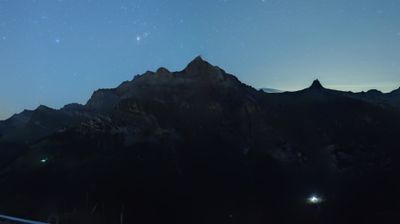
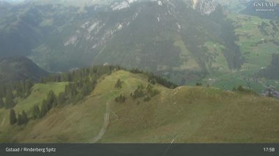
営業中のリフト: 0/16
積雪情報
- 過去24時間: 0 cm
- 過去72時間: 0 cm
- 過去7日間: 0 cm
- 過去7日間: 山麓 0cm · 中腹 0cm · 山頂 0cm
- シーズン累計: 0 cm
About St. Stephan
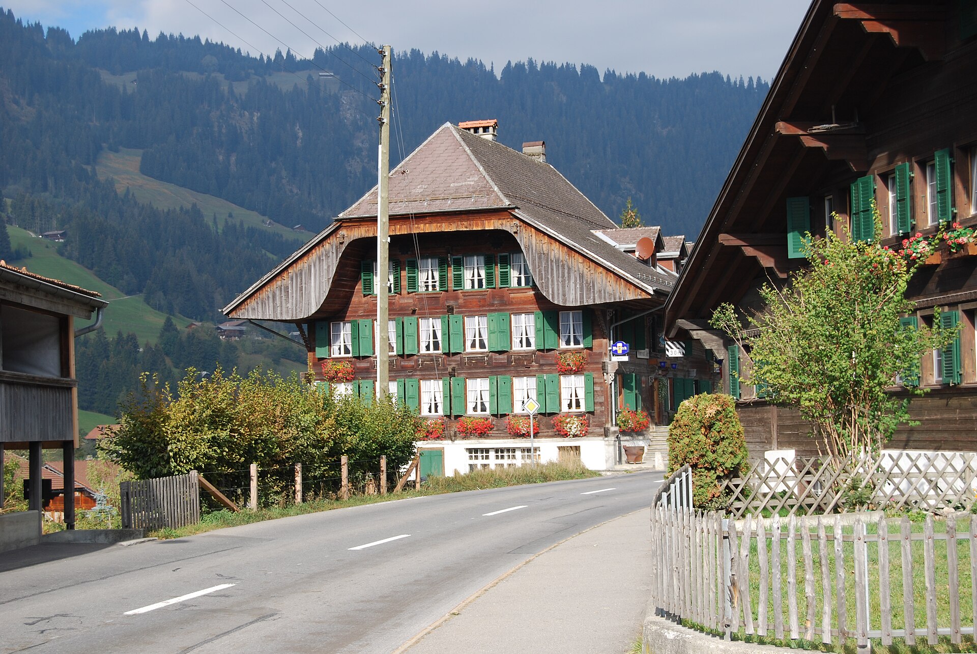
A quiet Simmental valley hideaway where traditional wooden chalets and authentic farming life offer a grounded alternative to Gstaad.
Highlights
- Rustic wooden chalets
- Gstaad valley access
- Traditional farming heritage
- Quiet mountain living
Key Facts
- Altitude: 999m
- Top lift: 2011m
- Ski pistes: 88km
- Ski lifts: 15
- Population: 1,310
- Lakes nearby: 10
- MTB trails: 66.7km
- Mountain huts: 16
Ski Area
Rinderberg/Saanerslochgrat/Horneggli – Zweisimmen/Saanenmöser/Schönried/St. Stephan
この目的地が含まれるシーズンパス
Weather and 10-day forecast for St. Stephan
- Today: 6 to 16 °C, clear sky, 12 h of sunshine
- Freezing level today: about 4249 m (4060 to 4360 m)
| Day | Min / max | Sky | Precipitation | Sunshine |
|---|---|---|---|---|
| 9月22日(火) | 6 / 16 °C | clear sky | dry | 12 h sun |
| 9月23日(水) | 6 / 18 °C | clear sky | dry | 12 h sun |
| 9月24日(木) | 8 / 15 °C | overcast | dry | 1 h sun |
| 9月25日(金) | 2 / 17 °C | clear sky | dry | 9 h sun |
| 9月26日(土) | 4 / 19 °C | clear sky | dry | 10 h sun |
| 9月27日(日) | 5 / 19 °C | overcast | dry | 3 h sun |
| 9月28日(月) | 7 / 20 °C | clear sky | dry | 12 h sun |
| 9月29日(火) | 8 / 21 °C | clear sky | dry | 12 h sun |
| 9月30日(水) | 9 / 21 °C | drizzle | dry | 4 h sun |
| 10月1日(木) | 9 / 15 °C | rain showers | dry | 1 h sun |
Things to do in St. Stephan
Hikes nearby — St. Stephan (20)
20+ curated hiking trails around St. Stephan, sourced from OpenStreetMap and enriched with distance, elevation gain and difficulty.
-
Via Alpina
-
Zweisimmen - Hofbrügg
-
Gibel - Gütsch
The trail climbs through alpine pastures to the Stübleni limestone formation, where gypsum bedrock slowly dissolved by rainwater has collapsed into a field of sunken craters — dolinen — that give the Gryden its eerie, moonscape character. At the high point, clear days open a sweeping panorama stretching from the Simmental across the Saanenland to the Fribourg peaks.
-
Eggweid Mittelstation - Oeschseite
From the gondola's middle station at Eggweid, the descent to Oeschseite passes a collection of wooden sculptures before the trail levels out along a stream toward Zweisimmen, where fire pits dot the riverside path.
-
Blankenburg - Zweisimmen
-
Via Alpina Stage 73: Lenk - Lauenen
-
Via Alpina
-
Schwand - Laubbärgli
-
Seitengraben - Obere Lochberg
-
Erlebnisweg Grimmimutz
-
Bergweg Kraftort Grimmiwasser
-
Stoss - Betelberg / Leiterli
-
Gryden - Leiterli
-
Ritzdole-Iffigen Läger
-
Lenk (Ritzdole) - Lenk (Sibe Brünne - Rezlibergli)
-
Horneggli-Panoramaweg
-
Via Alpina: Lenk - Gstaad
-
Hundsrügg-Panoramaweg
-
Via Alpina: BE-12002 - Lenk
-
Höhenrundweg Gryden
Mountain biking near St. Stephan
- Alpine Bike - Etappe 14
Getting to St. Stephan
Door-to-door travel times as used by the MR. ALPS ranking.
- Nearest airport: Geneva International Airport (GVA), 104 km away, about 2h24 by road
- Bern: 1h16 by car, 77 km
- Lausanne: 1h36 by car, 104 km
- Biel/Bienne: 1h39 by car, 113 km
- Luzern: 2h07 by car, 128 km
- Genève: 2h15 by car, 166 km
- Basel: 2h15 by car, 168 km
Where to stay in St. Stephan
77 places to stay for a night on 2026-09-04, from 195 EUR per night, median 789 EUR. Prices are direct with hotels and destinations, compared live on the St. Stephan page.