Sollegg – Appenzell
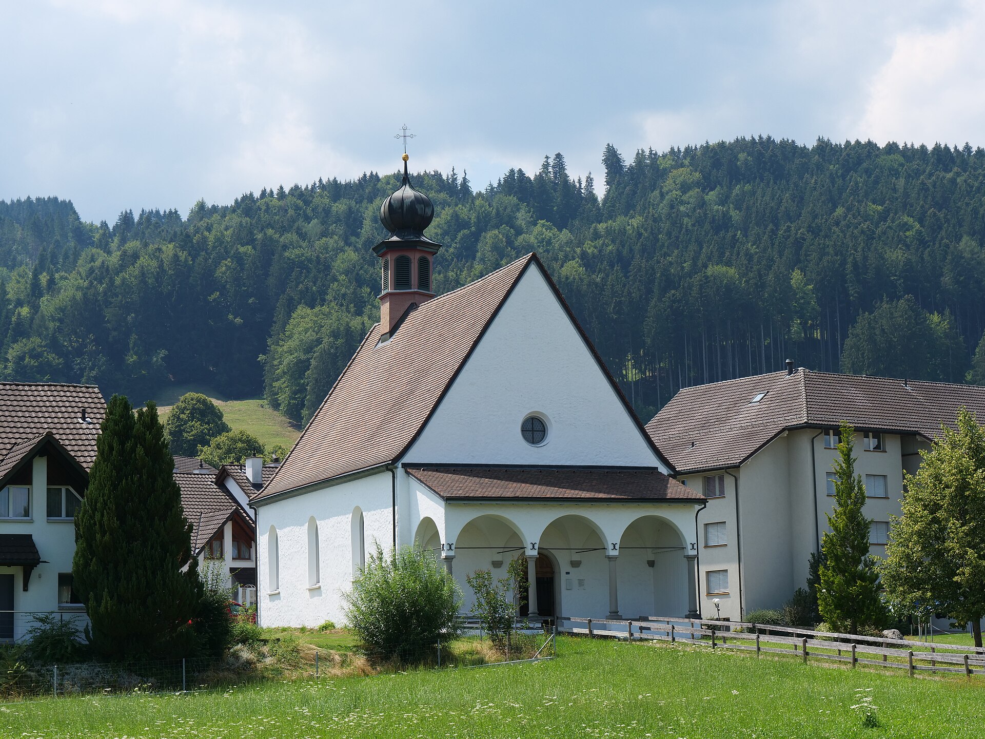
About Sollegg – Appenzell
A quiet pastoral hamlet where the rolling green hills of Appenzell meet traditional farm life and deep-rooted Swiss folk customs.
Highlights
- Rolling emerald hills
- Deep folk traditions
- Pastoral farm life
- Authentic Swiss charm
Key Facts
- Altitude: 1103m
- Top lift: 1204m
- Ski pistes: 7km
- Ski lifts: 2
- Population: 6,096
- Lakes nearby: 16
- MTB trails: 393.6km
- Mountain huts: 26
Ski Area
Weather and 10-day forecast for Sollegg – Appenzell
- Today: 7 to 14 °C, overcast, 1 h of sunshine
- Freezing level today: about 3668 m (3290 to 4190 m)
| Day | Min / max | Sky | Precipitation | Sunshine |
|---|---|---|---|---|
| 9月21日(月) | 7 / 14 °C | overcast | dry | 1 h sun |
| 9月22日(火) | 5 / 14 °C | clear sky | dry | 12 h sun |
| 9月23日(水) | 5 / 17 °C | clear sky | dry | 11 h sun |
| 9月24日(木) | 7 / 13 °C | partly cloudy | dry | 6 h sun |
| 9月25日(金) | 4 / 16 °C | clear sky | dry | 12 h sun |
| 9月26日(土) | 10 / 21 °C | partly cloudy | dry | 6 h sun |
| 9月27日(日) | 11 / 21 °C | partly cloudy | dry | 5 h sun |
| 9月28日(月) | 13 / 22 °C | clear sky | dry | 12 h sun |
| 9月29日(火) | 11 / 21 °C | clear sky | dry | 12 h sun |
| 9月30日(水) | 12 / 21 °C | clear sky | dry | 12 h sun |
Things to do in Sollegg – Appenzell
Hikes nearby — Sollegg – Appenzell (20)
20+ curated hiking trails around Sollegg – Appenzell, sourced from OpenStreetMap and enriched with distance, elevation gain and difficulty.
-
Pfeff ond Lischt Weg
Thirteen interactive stations punctuate this family trail through the Appenzeller hill country, where walkers balance seesaws, roll balls through a Chügelibahn, hurl pine cones, and coax sound from a giant xylophone and resonating pipes. The route also reveals the region's characteristic Nagelfluh ridge landscape and opens onto views across the Appenzeller hills toward the Alpstein.
-
Appenzeller Rundweg
-
Alpenpanorama-Weg
-
Alpenpanorama-Weg
-
Appenzeller Weg
-
Barfussweg
The trail climbs from Urnäsch's village centre — where stately Appenzeller houses line the streets and local cheese specialities fill the shop windows — up through pastures to the Bergrestaurant Osteregg, with a sweeping view stretching across the Appenzellerland all the way to the Bodensee. From the Zimmermannslauftegg ridge, the route continues toward Blattendürren before descending back to the village.
-
Ebenalp Nord
-
Chlus - ?
-
Öhrligrueb - Schäfler
-
Aussichtsweg "obedöri"
-
Kulturspur Appenzellerland
NONE (提供された抜粋は、Urnäsch/RehetobelとWalzenhausenの間のAppenzell Ausserhodenを通るKulturspur Appenzellerlandトレイルを説明するものであり、GraubündenのWiesen–Gruobのトレイルではありません。指定された場所に一致するトレイルに関する情報を含む抜粋はありません。)
-
Rheintaler Höhenweg
-
Neckertaler Höhenweg
-
Mesmer Nord
-
Öhrligrueb - Schwizerälpli
-
Appenzeller Weg: Appenzell - Urnäsch
-
Alpenpanorama-Weg: Tourist Information - Schwägalp
-
Appenzeller Kapellenweg
-
Hundwiler Höhi
-
Alpenpanorama-Weg: Trogen Landsgemeindeplatz - Tourist Information
Mountain biking near Sollegg – Appenzell
- Potersalp-Route
- Route Schlatt-Kau
- Hundwiler Höhi-Route
- Hoher Hirschberg-Route
- Route Scheidegg
- Schletterstrasse
- Leimensteigstrasse
- Eugststrasse
Getting to Sollegg – Appenzell
Door-to-door travel times as used by the MR. ALPS ranking.
- Nearest airport: Sankt Gallen Altenrhein Airport (ACH), 23 km away, about 51 min by road
- Zürich: 1h28 by car, 95 km
- Luzern: 2h06 by car, 128 km
- Basel: 2h22 by car, 175 km
- Innsbruck: 2h46 by car, 194 km
- Biel/Bienne: 2h48 by car, 212 km
- Bern: 2h49 by car, 214 km
Where to stay in Sollegg – Appenzell
98 places to stay for a night on 2026-09-25, from 239 EUR per night, median 265 EUR. Prices are direct with hotels and destinations, compared live on the Sollegg – Appenzell page.