Selva di Cadore
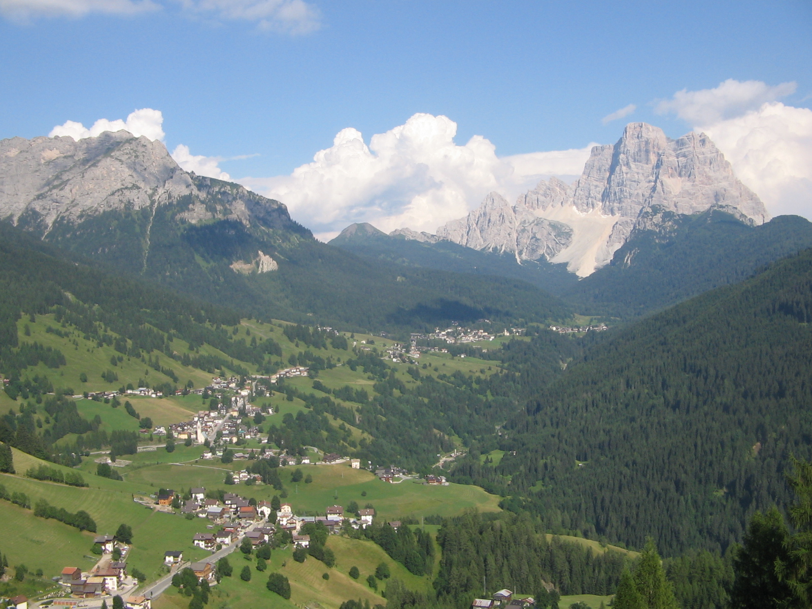
ライブカメラ
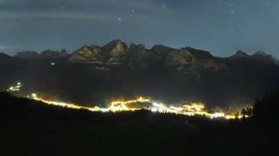
営業中のリフト: 0/23
積雪情報
- 過去24時間: 0 cm
- 過去72時間: 0 cm
- 過去7日間: 0 cm
- 過去7日間: 山麓 0cm · 中腹 0cm · 山頂 0cm
- シーズン累計: 0 cm
About Selva di Cadore
A quiet Ladin stronghold where prehistoric history meets the jagged, orange hues of the Pelmo massif in a landscape of pure silence.
Highlights
- Ladin cultural heritage
- Mesolithic archaeological sites
- Dramatic Pelmo views
- Understated mountain charm
Key Facts
- Altitude: 1336m
- Top lift: 2100m
- Ski pistes: 72km
- Ski lifts: 23
- Population: 502
- Lakes nearby: 7
- MTB trails: 169.1km
- Mountain huts: 68
Ski Area
この目的地が含まれるシーズンパス
Weather and 10-day forecast for Selva di Cadore
- Today: 5 to 17 °C, clear sky, 13 h of sunshine
- Freezing level today: about 3028 m (2780 to 3300 m)
| Day | Min / max | Sky | Precipitation | Sunshine |
|---|---|---|---|---|
| 9月22日(火) | 5 / 17 °C | clear sky | dry | 13 h sun |
| 9月23日(水) | 3 / 15 °C | clear sky | dry | 13 h sun |
| 9月24日(木) | 6 / 17 °C | clear sky | dry | 9 h sun |
| 9月25日(金) | 5 / 15 °C | clear sky | dry | 12 h sun |
| 9月26日(土) | 6 / 18 °C | clear sky | dry | 12 h sun |
| 9月27日(日) | 8 / 19 °C | clear sky | dry | 10 h sun |
| 9月28日(月) | 10 / 21 °C | clear sky | dry | 10 h sun |
| 9月29日(火) | 10 / 20 °C | overcast | dry | 12 h sun |
| 9月30日(水) | 6 / 21 °C | partly cloudy | dry | 12 h sun |
| 10月1日(木) | 7 / 19 °C | drizzle | 2 mm rain | 11 h sun |
Things to do in Selva di Cadore
Hikes nearby — Selva di Cadore (15)
15 curated hiking trails around Selva di Cadore, sourced from OpenStreetMap and enriched with distance, elevation gain and difficulty.
-
Sentiero Tematico Giosuè Carducci
-
Via Alpina Yellow B20
Rif. Città di Fiume - Pieve di Livinallongo
-
Cammino delle Dolomiti - Tappa 11
-
Alta via n. 1 delle Dolomiti - Dolomiten-Höhenweg Nr. 1
L'alta via n. 1, la classica, è un percorso escursionistico lungo circa 125 km, situato sulle Dolomiti orientali, che parte dal lago di Braies e arriva a Belluno. Il sentiero, noto anche come Alta Via 1 Dolomitica, è segnalato con un triangolo blu, all'interno del quale è segnato il numero 1.
-
Strada da la Vena
This old iron road — the *Via del Ferro* — traces the historic route along which iron ore was carried through the Buchenstein region, linking the former mining site at Colle Santa Lucia with the ruins of Andraz Castle, near where the smelting furnace once stood. The path winds through forest, alpine pastures, and timber haybarns, with views opening onto the Pelmo, Civetta, Marmolada, and Boé.
-
Laste Ciaspamoon
-
Dolomites World Heritage Geotrail 47
-
Cammino delle Dolomiti - Tappa 10
-
Via Alpina Yellow B21
Pieve di Livinallongo - Passo Pordoi
-
Dolomites World Heritage Geotrail 46
-
Dolomites World Heritage Geotrail 45
-
Dolomites World Heritage Geotrail 43
-
Dolomites World Heritage Geotrail 44
-
Dolomites World Heritage Geotrail 41
-
Cammino delle Dolomiti - Tappa 12
Mountain biking near Selva di Cadore
- Percorso storico - Strada da la Vena
- deer trail
- Scooby Doo
Getting to Selva di Cadore
Door-to-door travel times as used by the MR. ALPS ranking.
- Nearest airport: Venice Marco Polo Airport (VCE), 108 km away, about 1h58 by road
- Bolzano - Bozen: 1h46 by car, 84 km
- Trento: 2h11 by car, 135 km
- Padova: 2h14 by car, 173 km
- Innsbruck: 2h34 by car, 166 km
- Verona: 3h02 by car, 255 km
- Bologna: 3h23 by car, 287 km
Where to stay in Selva di Cadore
200 places to stay for a night on 2026-09-25, from 179 EUR per night, median 219 EUR. Prices are direct with hotels and destinations, compared live on the Selva di Cadore page.