Scuol – Motta Naluns
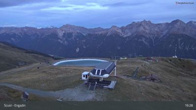
ライブカメラ
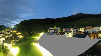
営業中のリフト: 0/145
積雪情報
- 過去24時間: 0 cm
- 過去72時間: 0 cm
- 過去7日間: 0 cm
- 過去7日間: 山麓 0cm · 中腹 0cm · 山頂 0cm
- シーズン累計: 13.4 cm
About Scuol – Motta Naluns
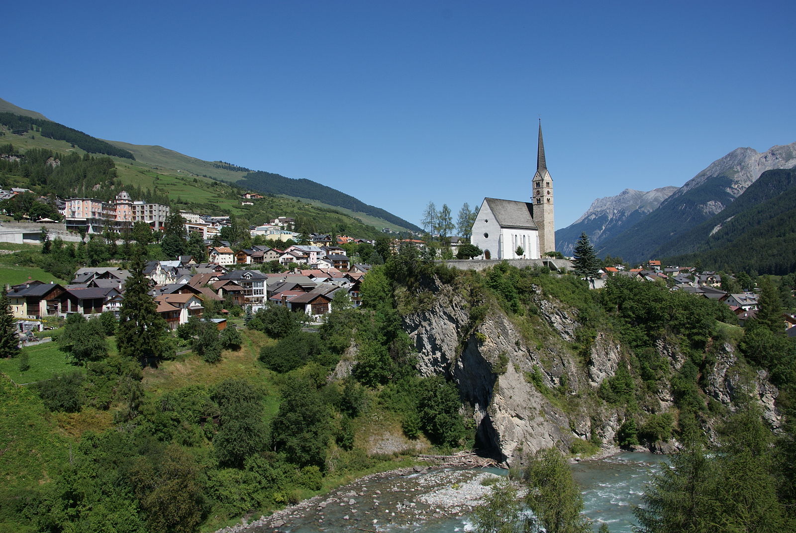
A refined Romansh enclave where mineral-rich thermal waters meet sun-drenched slopes and traditional sgraffito-adorned architecture.
Highlights
- Healing mineral springs
- Romansh cultural heritage
- Pristine national park
- Sgraffito-decorated houses
Key Facts
- Altitude: 1307m
- Top lift: 2792m
- Ski pistes: 43.3km
- Ski lifts: 13
- Population: 4,624
- Lakes nearby: 15
- MTB trails: 130.4km
- Mountain huts: 6
Ski Area
この目的地が含まれるシーズンパス
Weather and 10-day forecast for Scuol – Motta Naluns
- Today: 4 to 18 °C, clear sky, 12 h of sunshine
- Freezing level today: about 3248 m (3050 to 3590 m)
| Day | Min / max | Sky | Precipitation | Sunshine |
|---|---|---|---|---|
| 9月22日(火) | 4 / 18 °C | clear sky | dry | 12 h sun |
| 9月23日(水) | 3 / 21 °C | clear sky | dry | 12 h sun |
| 9月24日(木) | 6 / 15 °C | clear sky | dry | 11 h sun |
| 9月25日(金) | 3 / 19 °C | clear sky | dry | 12 h sun |
| 9月26日(土) | 8 / 23 °C | clear sky | dry | 12 h sun |
| 9月27日(日) | 8 / 23 °C | clear sky | dry | 8 h sun |
| 9月28日(月) | 8 / 23 °C | clear sky | dry | 8 h sun |
| 9月29日(火) | 9 / 22 °C | partly cloudy | dry | 12 h sun |
| 9月30日(水) | 9 / 21 °C | overcast | dry | 12 h sun |
| 10月1日(木) | 9 / 20 °C | drizzle | 2 mm rain | 9 h sun |
Things to do in Scuol – Motta Naluns
Hikes nearby — Scuol – Motta Naluns (20)
20+ curated hiking trails around Scuol – Motta Naluns, sourced from OpenStreetMap and enriched with distance, elevation gain and difficulty.
-
Via son Giachen
-
Via son Giachen
-
Via Engiadina - Etappe 4
-
Via Engiadina - Etappe 3
-
Senda Scuol-Samnaun
-
Via Engiadina - Etappe 5
-
Chaposch - Gurlaina
-
Ftan - Scuol
The trail follows the winterliche Via Engiadina from Ardez — passing the Burg Steinsberg and the ruin Chanoua — to Ftan, with views across to Tarasp and the peaks of Piz Pisoc and its neighbours.
-
Prui - Ftan
The trail climbs from Ftan through the Unterengadin landscape to Motta Naluns at over 2,100 m, passing through wild romantic side valleys and flowering meadow fields, with views over Scuol and Tarasp.
-
San Jon - Chamonna Lischana
-
Vallatscha - Chaposch
-
Via a l’En
-
Funtana fraida
A Nordic walking loop from Ftan Grond's centre, the route passes the Hôtel Paradis and winds through Ftan's forests before reaching the Institut Haute Alpinité, with sweeping views over the valley along the way.
-
Via Engiadina - Etappe 2
-
Nationalpark Panoramaweg
-
Via Engiadina: Ftan Prui - Sent
-
Jakobsweg Graubünden: S-charl - Scuol Staziun
-
Senda Piz Clünas
-
Jakobsweg Graubünden: Scuol Staziun - 3287
-
Via Engiadina: Ardez Staziun - Ftan Prui
Mountain biking near Scuol – Motta Naluns
- Tarasp (Vulpera - Vulpera)
- Avrona Bike
- Via Veglia vers Scuol
- Dschombrina
- Via da Lidorna
Getting to Scuol – Motta Naluns
Door-to-door travel times as used by the MR. ALPS ranking.
- Nearest airport: Innsbruck Airport (INN), 95 km away, about 1h43 by road
- Innsbruck: 1h45 by car, 131 km
- Bolzano - Bozen: 2h17 by car, 139 km
- Zürich: 2h40 by car, 193 km
- Trento: 2h46 by car, 190 km
- Luzern: 2h59 by car, 215 km
- München: 3h06 by car, 218 km
Where to stay in Scuol – Motta Naluns
200 places to stay for a night on 2026-09-25, from 235 EUR per night, median 412 EUR. Prices are direct with hotels and destinations, compared live on the Scuol – Motta Naluns page.