Sauris di Sotto
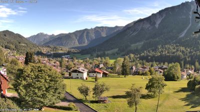
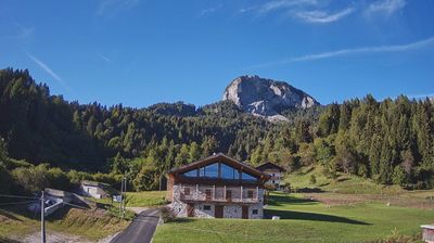
ライブカメラ



営業中のリフト: 0%
積雪情報
- 過去24時間: 0 cm
- 過去72時間: 0 cm
- 過去7日間: 0 cm
- 過去7日間: 山麓 0cm · 中腹 0cm · 山頂 0cm
- シーズン累計: 0 cm
About Sauris di Sotto
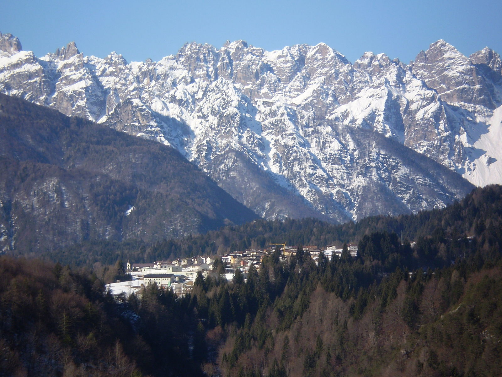
Secluded and archaic, this timber-clad hamlet preserves a unique Germanic dialect and centuries-old smoked ham traditions.
Highlights
- Smoked prosciutto heritage
- Dark timber architecture
- Linguistic time capsule
- Remote mountain stillness
Key Facts
- Altitude: 1213m
- Top lift: 1330m
- Ski pistes: 1km
- Ski lifts: 2
- Population: 390
- Lakes nearby: 3
- Mountain huts: 15
Ski Area
Weather and 10-day forecast for Sauris di Sotto
- Today: 8 to 19 °C, overcast, 6 h of sunshine
- Freezing level today: about 3626 m (3060 to 4080 m)
| Day | Min / max | Sky | Precipitation | Sunshine |
|---|---|---|---|---|
| 9月21日(月) | 8 / 19 °C | overcast | dry | 6 h sun |
| 9月22日(火) | 5 / 14 °C | clear sky | dry | 13 h sun |
| 9月23日(水) | 5 / 12 °C | partly cloudy | dry | 5 h sun |
| 9月24日(木) | 7 / 14 °C | overcast | dry | 3 h sun |
| 9月25日(金) | 6 / 13 °C | partly cloudy | dry | 7 h sun |
| 9月26日(土) | 8 / 18 °C | clear sky | dry | 11 h sun |
| 9月27日(日) | 10 / 17 °C | partly cloudy | dry | 5 h sun |
| 9月28日(月) | 9 / 20 °C | clear sky | dry | 11 h sun |
| 9月29日(火) | 6 / 20 °C | clear sky | dry | 11 h sun |
| 9月30日(水) | 7 / 18 °C | clear sky | dry | 11 h sun |
Things to do in Sauris di Sotto
Hikes nearby — Sauris di Sotto (20)
20+ curated hiking trails around Sauris di Sotto, sourced from OpenStreetMap and enriched with distance, elevation gain and difficulty.
-
Julius Kugy-Dreiländerweg E 23A
Rif. Eimblat de Ribn-Sàuris di sotto-M. Rinderperk-Forc. Pièltinis-C.ra Vinadia grande-Sella Vinadia-Agritur. C.ra Malins-Rio Rioda-Rio Malinis-Alb. Pradbosco/Sent. del Coderül-Plan di Casa-Clap Piccolo-Rif. De Gasperi
-
Sentiero degli Alpini
-
Hntermeruke
-
JK23
Fernwanderweg Südalpen-Umrundung ab April 2019, 720 km, 45 000 Hm, 270 Std. Gehzeit – Alpine Vereine: Kärnten, Slovenija und Friuli-Venezia Giulia – siehe im Internet: Julius-Kugy-Dreiländerweg in 30 Etappen – Berge der Freundschaft
-
Via Alpina Yellow B15
Sauris di Sotto - Forni di Sopra
-
Via Alpina Yellow B14
Ovaro - Sauris di Sotto
-
JK22
Fernwanderweg Südalpen-Umrundung ab April 2019, 720 km, 45 000 Hm, 270 Std. Gehzeit – Alpine Vereine: Kärnten, Slovenija und Friuli-Venezia Giulia – siehe im Internet: Julius-Kugy-Dreiländerweg in 30 Etappen – Berge der Freundschaft
-
Cammino delle Pievi - Tappa 11
-
Cammino delle Pievi - Tappa 10
-
Sentieri e passeggiate a Sauris - 2A
-
Monte Ruke
-
Sentieri e passeggiate a Sauris - 2B
-
Sentieri e passeggiate a Sauris - 3A
-
Cammino delle Pievi - Tappa 09
-
Giulio Pisa e Riccardo Assereto
-
Cammino delle Pievi
Il Cammino delle Pievi è un sentiero escursionistico di lunga percorrenza a tappe situato in Carnia che collega tutte le principali Pievi della suddetta sub-regione geografica montana del Friuli, attraversando le valli e diverse cime montuose della regione; il percorso assume dunque particolare rilevanza storico-religiosa per il pellegrino oltre che prettamente escursionistica per l'escursionista,
-
Anello Cascate di Mulignòn
-
Anello Cascate - Cite di Cladonde
-
Ovaro-Ovasta-Prato Carnico-Pesarïs
-
Julius Kugy-Dreiländerweg E 24A
Getting to Sauris di Sotto
Door-to-door travel times as used by the MR. ALPS ranking.
- Nearest airport: Trieste Airport (TRS), 92 km away, about 1h39 by road
- Padova: 2h29 by car, 196 km
- Bolzano - Bozen: 2h54 by car, 180 km
- Trento: 3h13 by car, 193 km
- Verona: 3h17 by car, 277 km
- Innsbruck: 3h23 by car, 212 km
- Bologna: 3h38 by car, 309 km
Where to stay in Sauris di Sotto
30 places to stay for a night on 2026-09-25, from 82 EUR per night, median 173 EUR. Prices are direct with hotels and destinations, compared live on the Sauris di Sotto page.