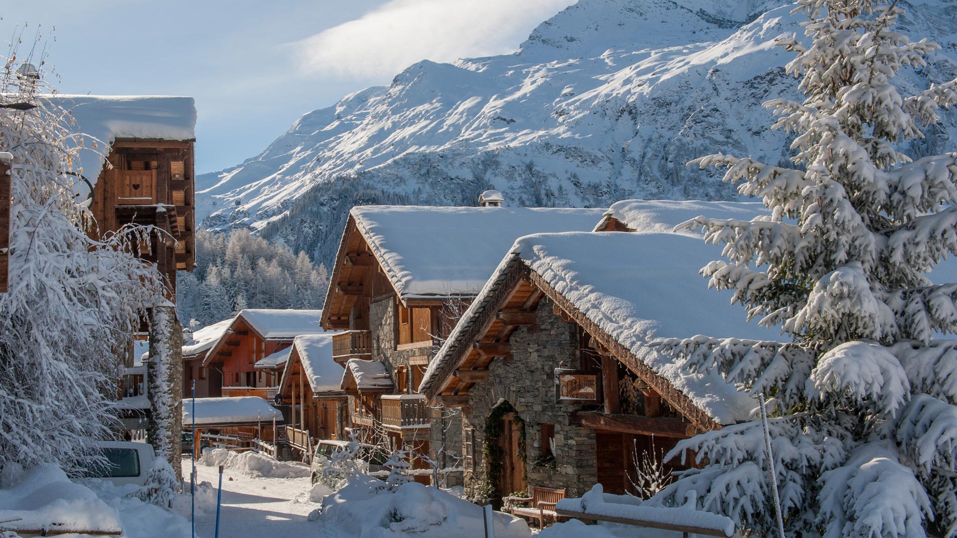
Sainte-Foy-Tarentaise
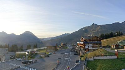
ライブカメラ
営業中のリフト: 0/6
積雪情報
- 過去24時間: 0 cm
- 過去72時間: 0 cm
- 過去7日間: 0 cm
- 過去7日間: 山麓 0cm · 中腹 0cm · 山頂 0cm
- シーズン累計: 8.2 cm
About Sainte-Foy-Tarentaise
A cult-favorite sanctuary for off-piste purists seeking quiet, uncrowded slopes and authentic Savoyard architecture away from the masses.
Highlights
- Off-piste terrain
- Hidden-gem status
- Traditional stone chalets
- Family-friendly intimacy
Key Facts
- Altitude: 1550m
- Top lift: 2622m
- Ski pistes: 43km
- Ski lifts: 6
- Population: 690
- Lakes nearby: 37
- MTB trails: 148km
- Mountain huts: 13
Ski Area
Weather and 10-day forecast for Sainte-Foy-Tarentaise
- Today: 8 to 16 °C, clear sky, 8 h of sunshine
- Freezing level today: about 4263 m (4110 to 4350 m)
| Day | Min / max | Sky | Precipitation | Sunshine |
|---|---|---|---|---|
| 9月20日(日) | 8 / 16 °C | clear sky | dry | 8 h sun |
| 9月21日(月) | 8 / 16 °C | overcast | dry | 1 h sun |
| 9月22日(火) | 9 / 18 °C | clear sky | dry | 12 h sun |
| 9月23日(水) | 8 / 17 °C | clear sky | dry | 12 h sun |
| 9月24日(木) | 5 / 12 °C | clear sky | dry | 8 h sun |
| 9月25日(金) | 3 / 15 °C | clear sky | dry | 11 h sun |
| 9月26日(土) | 6 / 18 °C | clear sky | dry | 12 h sun |
| 9月27日(日) | 5 / 18 °C | clear sky | dry | 11 h sun |
| 9月28日(月) | 4 / 16 °C | clear sky | dry | 12 h sun |
| 9月29日(火) | 4 / 17 °C | clear sky | dry | 11 h sun |
Things to do in Sainte-Foy-Tarentaise
Hikes nearby — Sainte-Foy-Tarentaise (12)
12 curated hiking trails around Sainte-Foy-Tarentaise, sourced from OpenStreetMap and enriched with distance, elevation gain and difficulty.
-
Sentier des lacs
-
Via Alpina Red R120
Refuge de l'Archeboc - Le Monal
-
Via Alpina Red R121
Le Monal - Le Lac de Tignes
-
Grand Tour de Tarentaise - 2. Refuge de l'Archeboc -> Le Monal
-
Grand Tour de Tarentaise - 3. Le Monal -> Le Villaret du Nial
-
L'Aiguille Percée
-
K2 - Landry Aiguille Grive
-
Circuit du Ragairon
-
BSM <> Arc 1600 par Courbaton
-
Circuit de la Comtesse Cécile
-
BSM <> Arc 1600 par Plan Devin
-
La Maïtaz
Mountain biking near Sainte-Foy-Tarentaise
- Route 66
- Blueberry
- Canal
- Teppe des Abeilles
- Zittieux
- Blue Rocks bis
- V.T.T. Route No. 9
- Chemin des Myrtilles
Getting to Sainte-Foy-Tarentaise
Door-to-door travel times as used by the MR. ALPS ranking.
- Nearest airport: Lyon Saint-Exupéry Airport (LYS), 140 km away, about 2h18 by road
- Chambéry: 1h38 by car, 117 km
- Annecy: 2h01 by car, 113 km
- Grenoble: 2h01 by car, 147 km
- Genève: 2h35 by car, 156 km
- Torino: 2h47 by car, 161 km
- Lyon: 2h48 by car, 214 km
Where to stay in Sainte-Foy-Tarentaise
97 places to stay for a night on 2026-09-25, from 113 EUR per night, median 128 EUR. Prices are direct with hotels and destinations, compared live on the Sainte-Foy-Tarentaise page.