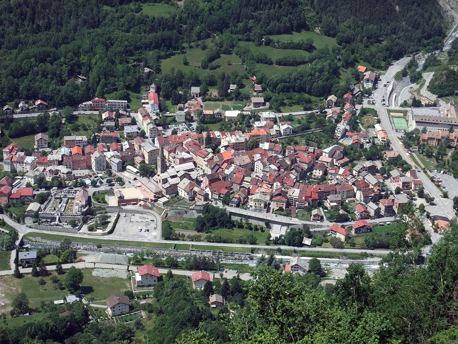
Saint-Etienne-de-Tinée
ライブカメラ
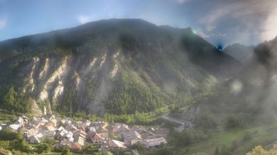
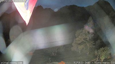

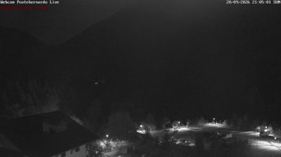
営業中のリフト: 0/16
積雪情報
- 過去24時間: 0 cm
- 過去72時間: 0 cm
- 過去7日間: 0 cm
- 過去7日間: 山麓 0cm · 中腹 0cm · 山頂 0cm
- シーズン累計: 0 cm
About Saint-Etienne-de-Tinée
A pastel-hued gateway to the Mercantour, blending Provencal warmth with high-altitude access and quiet, traditional French charm.
Highlights
- Pastel-colored facades
- Mercantour wilderness access
- Provencal alpine fusion
- Traditional sun-drenched squares
Key Facts
- Altitude: 1160m
- Top lift: 2450m
- Ski pistes: 135km
- Ski lifts: 16
- Population: 1,269
- Lakes nearby: 29
- MTB trails: 6.5km
- Mountain huts: 15
Ski Area
Weather and 10-day forecast for Saint-Etienne-de-Tinée
- Today: 14 to 25 °C, clear sky, 10 h of sunshine
- Freezing level today: about 4458 m (4040 to 4660 m)
| Day | Min / max | Sky | Precipitation | Sunshine |
|---|---|---|---|---|
| 9月22日(火) | 14 / 25 °C | clear sky | dry | 10 h sun |
| 9月23日(水) | 13 / 22 °C | mainly clear | dry | 8 h sun |
| 9月24日(木) | 11 / 24 °C | overcast | dry | 2 h sun |
| 9月25日(金) | 11 / 20 °C | partly cloudy | dry | 7 h sun |
| 9月26日(土) | 11 / 23 °C | clear sky | dry | 12 h sun |
| 9月27日(日) | 13 / 21 °C | partly cloudy | dry | 3 h sun |
| 9月28日(月) | 13 / 21 °C | partly cloudy | dry | 5 h sun |
| 9月29日(火) | 12 / 21 °C | clear sky | dry | 11 h sun |
| 9月30日(水) | 13 / 20 °C | drizzle | 1 mm rain | 11 h sun |
| 10月1日(木) | 10 / 19 °C | drizzle | 8 mm rain | 11 h sun |
Things to do in Saint-Etienne-de-Tinée
Hikes nearby — Saint-Etienne-de-Tinée (20)
20+ curated hiking trails around Saint-Etienne-de-Tinée, sourced from OpenStreetMap and enriched with distance, elevation gain and difficulty.
-
Entraunes - Col de Salèse
-
Via Alpina Blue D55
-
Via Alpina Blue D54
Bousiéyas - St-Etienne-de-Tinée
-
Circuit de Sélasse
Randoxygène - Haut-Pays - Haute Tinée 1
-
Mont Ténibre - Etape 1
-
Chemin de l'Énergie - Étape 3
-
Cime de la Bercha
Randoxygène - Haut-Pays - Haute Tinée 1
-
Chemin de l'Énergie - Étape 2
-
Circuit du Bois d'Anelle
The trail winds through the bucolic Anelle Plateau — its name rooted in the Provençal word for "lamb" — passing alpine barns of larch wood called "butières," sunny irrigated gardens and orchards, and arid sheep pastureland before climbing into the cool upper larch forest on the shaded northern slope of the Anelle peak.
-
Mont Ténibre - Etape 2
-
Tour de l'Ubaye
-
Crête de la Blanche
Randoxygène - Haut-Pays - Haute Tinée 1
-
Col de Gialorgues
Randoxygène - Haut-Pays - Haute Tinée 1
-
Pointe de Colombart
Randoxygène - Haut-Pays - Haute Tinée 1
-
Tête de la Boulière
Randoxygène - Haut-Pays - Haut Var
-
Traversée du Mercantour
-
Circuit de Sainte-Eurosie
-
Chemin de l'Énergie
-
Circuit de Tortisse
Randoxygène - Haut-Pays - Haute Tinée 1
-
San Bernolfo-Testa dell'Autaret
Mountain biking near Saint-Etienne-de-Tinée
- Chemin de l'Énergie
- Olympique
- Blainon Forest
Getting to Saint-Etienne-de-Tinée
Door-to-door travel times as used by the MR. ALPS ranking.
- Nearest airport: Nice-Côte d'Azur Airport (NCE), 70 km away, about 1h33 by road
- Nice: 1h33 by car, 92 km
- Torino: 2h59 by car, 191 km
- Marseille: 3h31 by car, 274 km
- Genova: 3h33 by car, 239 km
- Grenoble: 4h15 by car, 225 km
- Milano: 4h28 by car, 318 km
Where to stay in Saint-Etienne-de-Tinée
12 places to stay for a night on 2026-09-25, from 109 EUR per night, median 356 EUR. Prices are direct with hotels and destinations, compared live on the Saint-Etienne-de-Tinée page.