Ramsau im Zillertal
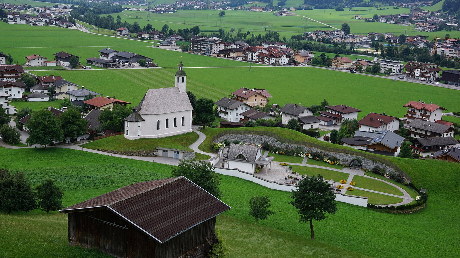
ライブカメラ



営業中のリフト: 0/67
積雪情報
- 過去24時間: 0 cm
- 過去72時間: 0 cm
- 過去7日間: 0 cm
- 過去7日間: 山麓 0cm · 中腹 0cm · 山頂 1.8cm
- シーズン累計: 6.7 cm
About Ramsau im Zillertal
A quiet Zillertal base that trades high-altitude flash for authentic Tyrolean hospitality and easy access to the valley’s steep slopes.
Highlights
- Traditional wood architecture
- Family-run guesthouses
- Low-key valley vibe
- Zillertalbahn steam train
Key Facts
- Altitude: 833m
- Top lift: 2500m
- Ski pistes: 142km
- Ski lifts: 44
- Population: 1,745
- Lakes nearby: 12
- MTB trails: 352.6km
- Mountain huts: 15
Ski Area
この目的地が含まれるシーズンパス
Weather and 10-day forecast for Ramsau im Zillertal
- Today: 7 to 19 °C, clear sky, 12 h of sunshine
- Freezing level today: about 3280 m (2490 to 3570 m)
| Day | Min / max | Sky | Precipitation | Sunshine |
|---|---|---|---|---|
| 9月23日(水) | 7 / 19 °C | clear sky | dry | 12 h sun |
| 9月24日(木) | 9 / 19 °C | overcast | dry | 3 h sun |
| 9月25日(金) | 9 / 19 °C | clear sky | dry | 12 h sun |
| 9月26日(土) | 9 / 23 °C | clear sky | dry | 12 h sun |
| 9月27日(日) | 15 / 26 °C | clear sky | dry | 12 h sun |
| 9月28日(月) | 18 / 27 °C | clear sky | dry | 11 h sun |
| 9月29日(火) | 20 / 28 °C | clear sky | dry | 11 h sun |
| 9月30日(水) | 17 / 27 °C | overcast | dry | 12 h sun |
| 10月1日(木) | 13 / 26 °C | overcast | dry | 12 h sun |
| 10月2日(金) | 13 / 25 °C | drizzle | 1 mm rain | 12 h sun |
Things to do in Ramsau im Zillertal
Hikes nearby — Ramsau im Zillertal (19)
19 curated hiking trails around Ramsau im Zillertal, sourced from OpenStreetMap and enriched with distance, elevation gain and difficulty.
-
Berliner Höhenweg Etappe 8
The final stage of the Berliner Höhenweg descends from the Karl-von-Edel-Hütte along the Ahornseite into Mayrhofen, passing through forest trails via Alpenrose, with the option to cut the descent short by riding the Ahornbahn from its top station.
-
Wanderweg 514
-
Wanderweg 46: Mayrhofen => Ahornbahn Bergstation
-
Via Alpina Red R38
Finkenberg - Rastkogelhütte
-
Wanderweg 513
-
Ramsauer Höhenweg
-
Wanderweg 9
-
Wanderweg 24b
-
Holzweg
-
Wanderweg 24a
-
Easy Trail
-
Wanderweg 12
-
Wanderweg 24
-
Via Alpina Red R37
Ginzling - Finkenberg
-
Berliner Höhenweg Zustieg Ahornbahn
-
Erlebnisweg Tuxerbach
-
19
-
Gmündner Seemeile
-
Bachrunde
Mountain biking near Ramsau im Zillertal
- Zillertaler Höhenstraße
- Rundroute Mühltal
- Horberg - Penken Runde
- Bike Trail Tirol Etappe 17: Zell - Mayrhofen
- Labergalm
- Singletrail Wiesenalm
- Brindlingalm
Getting to Ramsau im Zillertal
Door-to-door travel times as used by the MR. ALPS ranking.
- Nearest airport: Innsbruck Airport (INN), 41 km away, about 58 min by road
- Innsbruck: 57 min by car, 64 km
- München: 1h56 by car, 155 km
- Bolzano - Bozen: 2h23 by car, 179 km
- Trento: 2h54 by car, 235 km
- Nürnberg: 3h25 by car, 324 km
- Verona: 3h52 by car, 330 km
Where to stay in Ramsau im Zillertal
200 places to stay for a night on 2026-09-25, from 172 EUR per night, median 417 EUR. Prices are direct with hotels and destinations, compared live on the Ramsau im Zillertal page.