Presolana
About Presolana
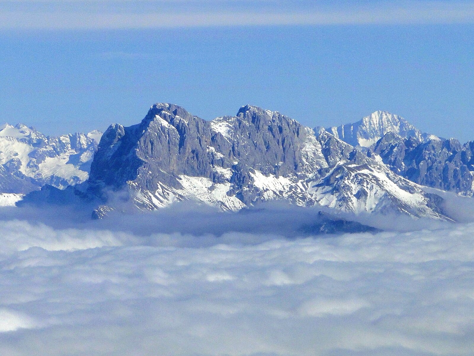
Known as the Queen of the Orobie, this weekend escape pairs rugged dolomite limestone peaks with a relaxed, old-school Lombardy charm.
Highlights
- Dramatic limestone crags
- Lombard culinary tradition
- Family-friendly atmosphere
- Scenic hiking trails
Key Facts
- Altitude: 1194m
- Top lift: 1368m
- Ski pistes: 3km
- Ski lifts: 6
- Population: 3,139
- Lakes nearby: 16
- MTB trails: 283.6km
- Mountain huts: 28
Ski Area
Weather and 10-day forecast for Presolana
- Today: 8 to 13 °C, partly cloudy, 4 h of sunshine
- Freezing level today: about 3947 m (3850 to 4030 m)
| Day | Min / max | Sky | Precipitation | Sunshine |
|---|---|---|---|---|
| 9月23日(水) | 8 / 13 °C | partly cloudy | dry | 4 h sun |
| 9月24日(木) | 11 / 17 °C | overcast | dry | 3 h sun |
| 9月25日(金) | 9 / 13 °C | overcast | dry | 4 h sun |
| 9月26日(土) | 8 / 15 °C | partly cloudy | dry | 7 h sun |
| 9月27日(日) | 11 / 18 °C | partly cloudy | dry | 9 h sun |
| 9月28日(月) | 12 / 19 °C | clear sky | dry | 11 h sun |
| 9月29日(火) | 13 / 20 °C | clear sky | dry | 9 h sun |
| 9月30日(水) | 11 / 19 °C | clear sky | dry | 11 h sun |
| 10月1日(木) | 10 / 14 °C | drizzle | dry | 0 h sun |
| 10月2日(金) | 7 / 11 °C | drizzle | dry | 11 h sun |
Things to do in Presolana
Hikes nearby — Presolana (18)
18 curated hiking trails around Presolana, sourced from OpenStreetMap and enriched with distance, elevation gain and difficulty.
-
Sentiero delle Orobie ad anello - Chiusura dell'anello
-
La Via Decia - Via Breve
La Via breve è una proposta alternativa per chi desidera camminare lungo i sentieri de La Via Decia disponendo di tre giorni anziché cinque. In questo caso, vi proponiamo di partire da Colere, ai piedi della Presolana, anziché da Corna di Darfo
-
Sentiero dei Laghi Alto - Tappa 12
-
Sentiero delle Orobie Orientali - Tappa finale Classico
-
CamminaForeste - Tappa 4C
-
Sentiero delle Orobie Orientali - Tappa 7
-
Sentiero dei Laghi Alto - Tappa 11
-
Sentiero Flavio Tasca - Tappa 5
-
CamminaForeste - Tappa 4B
-
Sentiero dei Laghi Alto - Tappa 13
-
Sentiero delle Capre
-
Trekking della Presolana - Tappa 4
-
Via del Latte
-
Gler - Cornetto
-
La Via Decia - Tappa 2
-
La Via Decia - Tappa 1
The first stage climbs from Darfo Boario Terme through the ancient Via del Ferro (Iron Road) and the dramatic Via Mala gorge, passing the shores of Lago Moro and the village of Angolo Terme before finishing above Colere. The route traces a path where iron ore has been mined for at least 2,000 years, through the dense forests that once fed the valley's smelting furnaces.
-
La Via Decia - Tappa 5
-
Trekking della Presolana - Tappa 5
Mountain biking near Presolana
- SICAI Ciclo
- Sentiero delle Capre
- Sentiero per Gavazzo
Getting to Presolana
Door-to-door travel times as used by the MR. ALPS ranking.
- Nearest airport: Il Caravaggio International Airport (BGY), 42 km away, about 2h02 by road
- Brescia: 2h12 by car, 82 km
- Milano: 2h38 by car, 114 km
- Verona: 2h52 by car, 147 km
- Padova: 3h34 by car, 223 km
- Trento: 3h36 by car, 213 km
- Torino: 4h01 by car, 250 km
Where to stay in Presolana
94 places to stay for a night on 2026-09-25, from 102 EUR per night, median 158 EUR. Prices are direct with hotels and destinations, compared live on the Presolana page.